-
You are here:
- Homepage »
- United Kingdom »
- England » Hawes

Hawes Destination Guide
Discover Hawes in United Kingdom
Hawes in the region of England is a town located in United Kingdom - some 211 mi or ( 340 km ) North-West of London , the country's capital .
Local time in Hawes is now 09:21 AM (Wednesday) . The local timezone is named " Europe/London " with a UTC offset of 0 hours. Depending on your flexibility, these larger cities might be interesting for you: York, West Stonesdale, Sheffield, Oxford, and Outhgill. When in this area, you might want to check out York . We found some clip posted online . Scroll down to see the most favourite one or select the video collection in the navigation. Are you looking for some initial hints on what might be interesting in Hawes ? We have collected some references on our attractions page.
Videos
ENGLAND Herriot country (Yorkshire Dales) (HD-video).mp4
Music by Dennis Hart (moondance) and Francis Goya (song song blue). The Dales became very famous because of the James Herriot books and TV-series. Most TV-locations were in villages in the Dales (eg R ..
Videos provided by Youtube are under the copyright of their owners.
Interesting facts about this location
Dales Countryside Museum
The Dales Countryside Museum is a local museum for the Yorkshire Dales National Park in Northern England. Run by the National Park Authority, it is located in the disused Hawes railway station in the small town of Hawes at the head of Wensleydale. The museum's outdoor display includes a real steam train and carriages on the track bed of the former Wensleydale Railway.
Located at 54.30 -2.19 (Lat./Long.); Less than 0 km away
Wensleydale
Wensleydale is the valley (dale) of the River Ure on the east side of the Pennines in North Yorkshire, England. Wensleydale lies in the Yorkshire Dales National Park – one of only a few valleys in the Dales not currently named after its principal river, but the older name, "Yoredale", can still be seen on some maps and as the Yoredale Series of geological strata.
Located at 54.31 -2.17 (Lat./Long.); Less than 2 km away
Hardraw Force
Hardraw Force is a waterfall on the Hardraw Beck in Hardraw Scar, a wooded ravine just outside the hamlet of Hardraw at the foot of Buttertubs Pass and the head of Wensleydale in the Yorkshire Dales. The Pennine Way long distance footpath passes close by. Comprising a single drop of 100 feet from a rocky overhang, Hardraw Force is claimed to be England's highest unbroken waterfall – at least discounting underground falls.
Located at 54.32 -2.20 (Lat./Long.); Less than 2 km away
Cotter Force
Cotter Force is a small waterfall on Cotter Beck, a minor tributary of the river Ure in Wensleydale, North Yorkshire, England.
Located at 54.32 -2.23 (Lat./Long.); Less than 3 km away
River Bain, North Yorkshire
The River Bain is a river in North Yorkshire, England. It is designated legally as a Main River, so at around two and a half miles long is reputed to be the shortest river in England. The Brennand River in Lancashire is half the distance, but as it is a tributary to other tributaries, it is not classified as a Main River. The river is home to the small scale hydroelectricity project River Bain Hydro located at Bainbridge.
Located at 54.28 -2.12 (Lat./Long.); Less than 5 km away
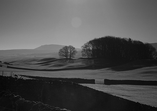
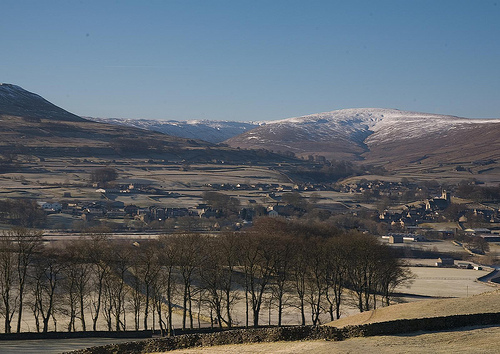
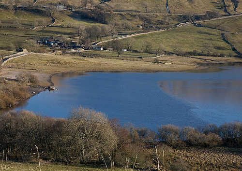
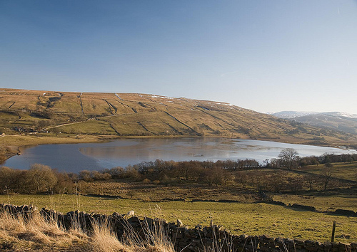
Pictures

Related Locations
Information of geographic nature is based on public data provided by geonames.org, CIA world facts book, Unesco, DBpedia and wikipedia. Weather is based on NOAA GFS.