-
You are here:
- Homepage »
- United Kingdom »
- England » Horning

Horning Destination Guide
Touring Horning in United Kingdom
Horning in the region of England is located in United Kingdom - some 107 mi or ( 172 km ) North-East of London , the country's capital city .
Time in Horning is now 04:24 AM (Wednesday) . The local timezone is named " Europe/London " with a UTC offset of 0 hours. Depending on your budget, these more prominent places might be interesting for you: Yervilton, Waxham, Upton, Southend-on-Sea, and Smallburgh. Being here already, consider visiting Yervilton . We collected some hobby film on the internet . Scroll down to see the most favourite one or select the video collection in the navigation. Check out our recommendations for Horning ? We have collected some references on our attractions page.
Videos
Norfolk Broads with Simon Calder
..
The Norfolk Broads: Horning
Broads Trip 2010 ..
Barton.wmv
UK-HBBR Rally at Barton Turf, Norfolk Broads, Late May Bank Holiday 2010. An esoteric collection of Homebuilt Boats enjoying a messabout. For more on this disorganisation of eccentrics visit ukhbbr.wo ..
Slow Boat To Neatishead - a short film from the Norfolk Broads
The Norfolk Broads are full of beauty, Neatishead is one of the most lovely forgotten stretches of water and truly peaceful place to explore by river. ..
Videos provided by Youtube are under the copyright of their owners.
Interesting facts about this location
Hoveton Little Broad
Hoveton Little Broad, also known as Black Horse Broad, is a secluded broad of fairly open aspect, in the middle reaches of the River Bure between Hoveton and Horning, Norfolk, in The Broads National Park. Privately owned, it was the site of direct action in the mid-20th century by local people hoping to establish the right of free public access to all Broadland waterways.
Located at 52.71 1.45 (Lat./Long.); Less than 1 km away
Cockshoot Broad
Cockshoot Broad, one of the Norfolk Broads, lies on the River Bure within The Broads National Park in Norfolk, England. It is one of several Broads where boats are not allowed at any time of the year, although they can moor at its entrance. It is a nature reserve in the care of Norfolk Wildlife Trust. Before becoming a nature reserve it was one of the most dilapidated broads, clogged with large amounts of silt.
Located at 52.70 1.47 (Lat./Long.); Less than 1 km away
Alderfen Broad
Alderfen Broad lies within The Broads National Park in Norfolk, England. It is a nature reserve in the care of Norfolk Wildlife Trust.
Located at 52.72 1.48 (Lat./Long.); Less than 2 km away
Ranworth Broad
Ranworth Broad is an expanse of water lying in the valley of the River Bure in Norfolk, England. Like other broads, it is believed to have been formed by the flooding of mediaeval peat workings. Joined to neighbouring Malthouse Broad by a narrow channel, it is one of the nature reserves in the care of the Norfolk Wildlife Trust.
Located at 52.69 1.48 (Lat./Long.); Less than 3 km away
Hoveton Great Broad
Hoveton Great Broad lies within The Broads in Norfolk, England, between Wroxham Broad and Salhouse Broad. The broad is connected to the River Bure, but not open to boat traffic. A nature trail was laid out in 1968 - the first in the region. It is accessible only by boat. Mooring is allowed on the north bank of the Bure, opposite Salhouse Broad. Natural England has established a Nature trail. From the boardwalk, one can see the broad with its adjoining fens and alder carr.
Located at 52.69 1.43 (Lat./Long.); Less than 3 km away
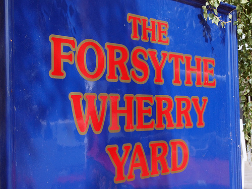
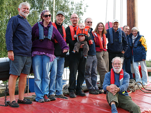
Pictures
Historical Weather
Related Locations
Information of geographic nature is based on public data provided by geonames.org, CIA world facts book, Unesco, DBpedia and wikipedia. Weather is based on NOAA GFS.