-
You are here:
- Homepage »
- United Kingdom »
- England » Horringer

Horringer Destination Guide
Explore Horringer in United Kingdom
Horringer in the region of England with its 890 inhabitants is a town in United Kingdom - some 60 mi or ( 96 km ) North-East of London , the country's capital city .
Current time in Horringer is now 08:31 PM (Saturday) . The local timezone is named " Europe/London " with a UTC offset of 0 hours. Depending on the availability of means of transportation, these more prominent locations might be interesting for you: Thurston, Stoke by Clare, Risby, Rede, and Peterborough. Since you are here already, make sure to check out Thurston . We saw some video on the web . Scroll down to see the most favourite one or select the video collection in the navigation. Where to go and what to see in Horringer ? We have collected some references on our attractions page.
Videos
INSPIRATIONAL GUITAR MUSIC--- A BRAND NEW DAY
An inspirational video (more up tempo this time) highlighting the beauty of Planet Earth. Special thanks to Krystyana and Terry for the great images. The music from this video can be downloaded free o ..
Bury St. Edmunds June 1991
Bury St Edmunds is a historic market town in the county of Suffolk. Footage of the 2nd of June 1991 ..
Aer Lingus Airbus A320 Landing at London Heathrow Airport *Wing View*
*** SEE MORE INFO FOR ADDONS *** Welcome back! Here you have an Airbus A320 landing at London Heathrow Airport (LHR) with real sound used. Enjoy! Addons used: - Aircraft Overland/ Simmer's Sky Airbus ..
Tour of Britain 2010 - Stage 7 - Suffolk leg - Suffolk County Council
On route with Emilie, along the route of Stage 7 of the Tour of Britain Cycle race. September 17th 2010, starting at Bury St Edmunds, passing through: Haverhill Clare Cavendish Long Melford Lavenham a ..
Videos provided by Youtube are under the copyright of their owners.
Interesting facts about this location
Ickworth House
Ickworth House is a country house near Bury St. Edmunds, Suffolk, England. It is a neoclassical building set in parkland. The house built between 1795 and 1829, was formerly the chief dwelling of an estate owned by the Hervey family, later Marquesses of Bristol, since 1467. The building was the creation of Frederick 4th Earl of Bristol and Bishop of Derry who commissioned the Italian architect Asprucci to design him a classical villa in the sussex countryside.
Located at 52.22 0.66 (Lat./Long.); Less than 1 km away
Thingoe Rural District
Thingoe Rural District was a rural district in the county of West Suffolk, England. It was created in 1894. On 1 April 1935 the parish of Depden was transferred to the Clare Rural District. On the same date the district was enlarged by the transfer of the civil parishes of Barnham, Barningham, Coney Weston, Euston, Fakenham Magna, Hepworth, Honington, Hopton, Knettishall, Market Weston, Sapiston, and Thelnetham from the disbanded Brandon Rural District.
Located at 52.22 0.63 (Lat./Long.); Less than 3 km away
Mickley Green
Mickley Green is a hamlet in Suffolk, United Kingdom to the east of the village of Whepstead on the road to Melon Green.
Located at 52.19 0.69 (Lat./Long.); Less than 3 km away
Little Saxham
Little Saxham is a small village in Suffolk, England. The village appears as Sexham in the Domesday Book and as Saxham Parva in 1254.
Located at 52.23 0.62 (Lat./Long.); Less than 4 km away
The Nutshell
The Nutshell is a pub in Bury St Edmunds, Suffolk, England, claiming to be the smallest pub in Britain, although this claim is challenged by several others, including the Smiths Arms at Godmanstone and the Lakeside Inn in Southport. However those two establishments while having smaller interior space seat most of their clients outside in a beer garden.
Located at 52.24 0.71 (Lat./Long.); Less than 4 km away
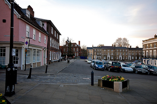
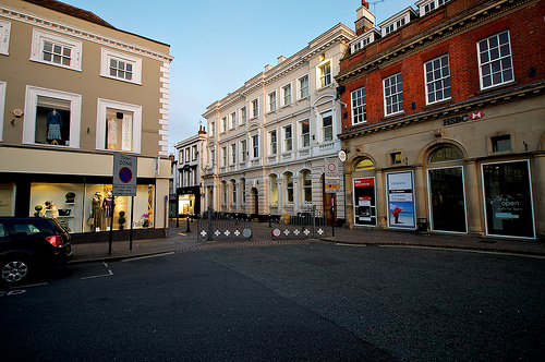
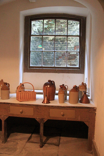
Pictures


Historical Weather
Related Locations


Information of geographic nature is based on public data provided by geonames.org, CIA world facts book, Unesco, DBpedia and wikipedia. Weather is based on NOAA GFS.