-
You are here:
- Homepage »
- United Kingdom »
- England » Mitcheldean

Mitcheldean Destination Guide
Discover Mitcheldean in United Kingdom
Mitcheldean in the region of England with its 2,148 habitants is a place located in United Kingdom - some 104 mi or ( 168 km ) West of London , the country's capital .
Local time in Mitcheldean is now 05:28 PM (Sunday) . The local timezone is named " Europe/London " with a UTC offset of 0 hours. Depending on your mobility, these larger cities might be interesting for you: Yatton, Wolverhampton, Wilton, Southampton, and Sharpness. When in this area, you might want to check out Yatton . We discovered some clip posted online . Scroll down to see the most favourite one or select the video collection in the navigation. Are you looking for some initial hints on what might be interesting in Mitcheldean ? We have collected some references on our attractions page.
Videos
Luxury Holiday Cottages Ross-on-Wye Herefordshire Wharton Lodge
Wharton Lodge Cottages, luxury holiday cottages, Ross-on-Wye in the Wye Valley and Forest of Dean, Herefordshire / Gloucestershire border. ..
Our Trip To A Birthday #britaininaday
www.youtube.com Our day, made for the BBC 'Britain In A Day' documentary, and added to the www.youtube.com channel. Enjoy!! ..
Huntley Field Meeting February 2011
Oxford Geology Group field trip to Gloucestershire (Huntley and Wesbury-on-Severn). February 2011 ..
Ladies of the Rolling Pin
Ladies of the Rolling Pin from Rhode Island and Providence Plantations, USA dance at Beechenhurst Lodge in the Forest of Dean. Facilitated by the Forest of Dean and Wye Valley Tour Guides. ..
Videos provided by Youtube are under the copyright of their owners.
Interesting facts about this location
Mitcheldean
Mitcheldean is a small town in the east of the Forest of Dean, Gloucestershire, England.
Located at 51.87 -2.48 (Lat./Long.); Less than 0 km away
Abenhall
Abenhall is a small village in the English county of Gloucestershire, lying on the road between Mitcheldean and Flaxley in the Forest of Dean. The parish includes the settlement of Plump Hill, which is actually more populous than Abenhall itself, and was once part of the Hundred of St Briavels (known as Dene at the time of the Domesday book in 1086).
Located at 51.86 -2.48 (Lat./Long.); Less than 1 km away
Longhope
Longhope is a village in west Gloucestershire, situated just outside the Forest of Dean, England, United Kingdom. The placename Longhope means "long, enclosed valley" which describes the aspect of the village. The village was inhabited by the 11th century and the manor of Hope is mentioned in the Domesday Book.
Located at 51.87 -2.45 (Lat./Long.); Less than 3 km away
Ruardean Hill
Ruardean Hill is a village in the English county of Gloucestershire, 20 km west of Gloucester. The southern slopes are wooded and are part of the northern edge of the Forest of Dean. The hill forms part of a low range of hills separating the River Severn from the River Wye. The hill's summit is the highest point in the Forest of Dean. A mostly friendly community, there is a local post office and village shop and two pubs, the social club and the Nelson Arms.
Located at 51.85 -2.53 (Lat./Long.); Less than 3 km away
Luxley
Luxley is a village in the southwest Midlands of England, on the border between Gloucestershire and Herefordshire near May Hill. Luxley is 12 km southeast of Ross-on-Wye and 18 km west of Gloucester. The name has a number of variations. Victorian maps show Luxtre while current place names include Luxtree Farm and Upper Laxtree.
Located at 51.89 -2.46 (Lat./Long.); Less than 4 km away
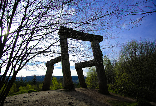
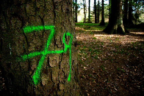
Pictures
Related Locations
Information of geographic nature is based on public data provided by geonames.org, CIA world facts book, Unesco, DBpedia and wikipedia. Weather is based on NOAA GFS.