-
You are here:
- Homepage »
- United Kingdom »
- Scotland » Newtonhill

Newtonhill Destination Guide
Touring Newtonhill in United Kingdom
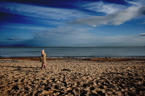
Newtonhill in the region of Scotland with its 3,284 citizens is a city located in United Kingdom - some 390 mi or ( 628 km ) North of London , the country's capital city .
Time in Newtonhill is now 03:37 PM (Wednesday) . The local timezone is named " Europe/London " with a UTC offset of 0 hours. Depending on your travel resources, these more prominent places might be interesting for you: West Cults, Sheffield, Redmoss, Peterculter, and Old Aberdeen. Being here already, consider visiting West Cults . We collected some hobby film on the internet . Scroll down to see the most favourite one or select the video collection in the navigation. Check out our recommendations for Newtonhill ? We have collected some references on our attractions page.
Videos
Stonehaven Habour 23/12/12
Waves at Stonehaven Habour on 23/12/1, day after floods devastate households thanks to 3 days heavy raining and storm force winds batter the Coastal Suburb. ..
Stonehaven Holiday
My Stonehaven Holiday ..
Portlethen Moss - a walk along the new path
Portlethen Moss - a walk along the new path ..
Workplace Travel Plans
A short introduction to workplace travel plans by Aberdeenshire Council's Transportation and Infrastructure Service. ..
Videos provided by Youtube are under the copyright of their owners.
Interesting facts about this location
Burn of Elsick
The Burn of Elsick is a coastal stream in Aberdeenshire, Scotland that discharges to the North Sea. This watercourse drains primarily agricultural lands and enters the North Sea at Newtonhill.
Located at 57.03 -2.14 (Lat./Long.); Less than 0 km away
Causey Mounth
The Causey Mounth is an ancient drovers' road over the coastal fringe of the Grampian Mountains in Aberdeenshire, Scotland. This route was developed as the main highway between Stonehaven and Aberdeen around the 12th century AD and it continued to function as the principal route connecting these two cities until the mid 20th century, when modern highway construction of the A90 road occurred in this area.
Located at 57.04 -2.16 (Lat./Long.); Less than 1 km away
Cammachmore
Cammachmore (Gaelic An Camach Mòr) is a hamlet in the coastal region near the North Sea in Aberdeenshire. It lies slightly west of the A90 road and the ancient Causey Mounth passes through the community. Historic Elsick House is situated due west of Cammachmore. Other nearby historic features include Gillybrands, Saint Ternan's Church, Muchalls Castle and the Lairhillock Inn.
Located at 57.04 -2.16 (Lat./Long.); Less than 1 km away
Burn of Pheppie
The Burn of Pheppie is an easterly flowing coastal stream in Aberdeenshire, Scotland that discharges to the North Sea immediately north of the village of Muchalls. Draining chiefly agricultural lands, this stream has a notable lack of turbidity and a pH level of approximately 8.02. Armouring of the stream bottom consists of pebbles, many of which are quartzite in composition, leading to a golden-green effect in some locations.
Located at 57.02 -2.16 (Lat./Long.); Less than 1 km away
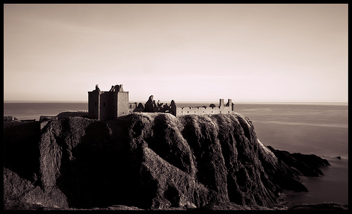
Downies
Downies is a cliff-top village in Aberdeenshire, Scotland situated on Cammachmore Bay. Historically Downies was a fishing village, until much of the local North Sea fishery collapsed from overfishing; presently Downies is chiefly a residential dormitory adjunct to the city of Aberdeen.
Located at 57.03 -2.12 (Lat./Long.); Less than 2 km away
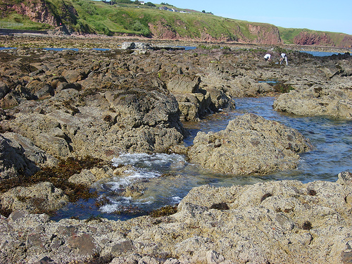
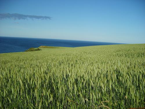
Pictures
Related Locations
Information of geographic nature is based on public data provided by geonames.org, CIA world facts book, Unesco, DBpedia and wikipedia. Weather is based on NOAA GFS.