-
You are here:
- Homepage »
- United States »
- Maryland » Londontowne

Londontowne Destination Guide
Delve into Londontowne in United States
Londontowne in the region of Maryland with its 8,018 residents is a city in United States - some 26 mi or ( 42 km ) East of Washington , the country's capital .
Current time in Londontowne is now 01:55 AM (Sunday) . The local timezone is named " America/New York " with a UTC offset of -4 hours. Depending on your travel modalities, these larger destinations might be interesting for you: Washington, Wilmington, Annapolis, Arnold, and Baltimore. While being here, make sure to check out Washington . We encountered some video on the web . Scroll down to see the most favourite one or select the video collection in the navigation. Are you curious about the possible sightseeing spots and facts in Londontowne ? We have collected some references on our attractions page.
Videos
The Expendables- Road Trip
The Expendables- Road Trip ..
Blue Angels @ Star Spangled Sailbration
Over Baltimore City & Fort McHenry ..
West Woods Apartments For Rent - Annapolis, MD
Annapolis apartments - West Woods apartments for rent in Annapolis, MD. Get into the swing of things! Call 866.838.2953 or Visit www.apartments.com for apartment prices, pictures, videos, floorplans, ..
Mariner Bay Apartments For Rent - Annapolis, MD
Annapolis apartments - Mariner Bay apartments for rent in Annapolis, MD. Get into the swing of things! Call 866.920.0115 or Visit www.apartments.com for apartment prices, pictures, videos, floorplans, ..
Videos provided by Youtube are under the copyright of their owners.
Interesting facts about this location
Londontowne, Maryland
Londontowne is an unincorporated area and former census-designated place (CDP) in Anne Arundel County, Maryland, United States. The population was 7,595 at the 2000 census. At the 2010 census, the area was delineated as the Edgewater CDP.
Located at 38.94 -76.55 (Lat./Long.); Less than 1 km away
South River Federation
Located in Edgewater, Maryland, USA, the South River Federation, Inc.
Located at 38.96 -76.55 (Lat./Long.); Less than 3 km away
Riva, Maryland
Riva is a census-designated place (CDP) in Anne Arundel County, Maryland, United States. The population was 3,966 at the 2000 census. The area is scenic, especially where the two-lane Riva Road crosses the South River on a bridge. The area is growing with large new homes as the city of Annapolis grows outward.
Located at 38.95 -76.58 (Lat./Long.); Less than 4 km away
Selby-on-the-Bay, Maryland
Selby-on-the-Bay was a census-designated place (CDP) in Anne Arundel County, Maryland, United States, for the 2000 census, at which time its population was 3,674. It was added to the Mayo CDP for the 2010 census.
Located at 38.91 -76.52 (Lat./Long.); Less than 4 km away
South River (Maryland)
The South River is a 10-mile-long tributary of the Chesapeake Bay in Anne Arundel County, Maryland in the United States. The South River is located south of the Severn River, east of the Patuxent River, and north of the West River and Rhode River, and drains to the Chesapeake Bay. It has a watershed area (including the water surface) of 66 square miles, or 56 square miles of land. Thus, its total watershed area is 15% water.
Located at 38.92 -76.50 (Lat./Long.); Less than 4 km away
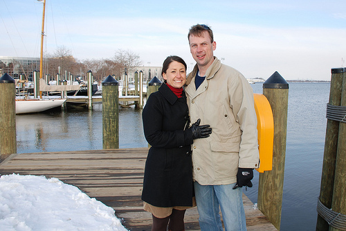
Pictures
Related Locations
Information of geographic nature is based on public data provided by geonames.org, CIA world facts book, Unesco, DBpedia and wikipedia. Weather is based on NOAA GFS.