-
You are here:
- Homepage »
- United States »
- Ohio » Waterville

Waterville Destination Guide
Explore Waterville in United States
Waterville in the region of Ohio with its 5,523 inhabitants is a place in United States - some 396 mi or ( 637 km ) North-West of Washington , the country's capital city .
Time in Waterville is now 01:34 PM (Sunday) . The local timezone is named " America/New York " with a UTC offset of -4 hours. Depending on your budget, these more prominent locations might be interesting for you: Chicago, Ann Arbor, Detroit, Jackson, and Lansing. Since you are here already, consider visiting Chicago . We saw some hobby film on the internet . Scroll down to see the most favourite one or select the video collection in the navigation. Where to go and what to see in Waterville ? We have collected some references on our attractions page.
Videos
Ohio Marker - Ohio Electric Train Bridge
The Lima and Toledo Traction Company Bridge was construted in 1907 by the National Bridge Company of Indianapolis, and it was considered to be a revolutionary type of bridge construction. The Old Elec ..
Ohio Marker - Roche de Bout
Anthony Wayne Parkway Marker - The once massive limestone rock outcropping standing in the Maumee River has marked may events in the history of the valley. It was a legendary site for Native Americans ..
blak.ops.connections-April In Tha D Promo entry
Welcome to the Blak.Ops experience! We are Blak.Ops.Connections from Detroit, MI and have been since 1999. WE.....SIMPLY....LIKE....TO....DO......MUSIC!! This video is our submission to WRIF/Fox Sport ..
Maumee River Canoe Trip Day 4 - part 1
This is the fourth day of the Fort to Port canoe trip on the Maumee River. This segment starts in Grand Rapids Ohio and ends in Toledo Ohio at International Park. This section is the only part of the ..
Videos provided by Youtube are under the copyright of their owners.
Interesting facts about this location
Waterville, Ohio
Waterville is a City in Lucas County, Ohio, United States, along the Maumee River, close to Toledo, Ohio. The population was 5,523 at the 2010 census.
Located at 41.50 -83.73 (Lat./Long.); Less than 1 km away
Farnsworth Metropark
Farnsworth Metropark is a regional park located in Waterville, Ohio that is part of the Toledo Metroparks. The long narrow parks sits on the western shore of the Maumee River with a view of several islands, including Missionary, Butler and Indian islands, all of which are owned by the State of Ohio.
Located at 41.49 -83.73 (Lat./Long.); Less than 2 km away
Haskins, Ohio
Haskins is a village in Wood County, Ohio, United States. The population was 1,188 at the 2010 census.
Located at 41.47 -83.71 (Lat./Long.); Less than 4 km away
Battle of Fallen Timbers
The Battle of Fallen Timbers (August 20, 1794) was the final battle of the Northwest Indian War, a struggle between American Indian tribes affiliated with the Western Confederacy and the United States for control of the Northwest Territory (an area bounded on the south by the Ohio River, on the west by the Mississippi River, and on the northeast by the Great Lakes).
Located at 41.54 -83.70 (Lat./Long.); Less than 5 km away
Anthony Wayne High School
Anthony Wayne High School is a high school located in Whitehouse, Ohio, a suburb of Toledo. The school has an enrollment of approximately 1,350 students in grades 9-12. The school is named for American General Anthony Wayne, who led troops in the nearby Battle of Fallen Timbers during the Northwest Indian War. The Anthony Wayne High School was created in 1951. It is the consolidation of Monclova, Waterville, and Whitehouse Schools.
Located at 41.53 -83.78 (Lat./Long.); Less than 6 km away
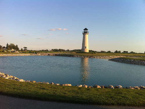
Pictures


Related Locations
Information of geographic nature is based on public data provided by geonames.org, CIA world facts book, Unesco, DBpedia and wikipedia. Weather is based on NOAA GFS.