-
You are here:
- Homepage »
- United States »
- Oregon » Bayside Gardens

Bayside Gardens Destination Guide
Discover Bayside Gardens in United States
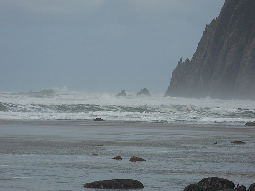
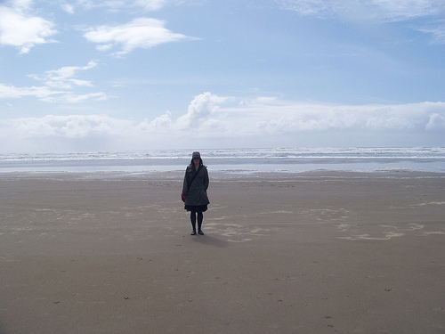
Bayside Gardens in the region of Oregon with its 880 habitants is a town located in United States - some 2,406 mi or ( 3872 km ) West of Washington , the country's capital .
Local time in Bayside Gardens is now 05:49 AM (Wednesday) . The local timezone is named " America/Los Angeles " with a UTC offset of -7 hours. Depending on your flexibility, these larger cities might be interesting for you: Arch Cape, Barview, Batterson, Corvallis, and Eugene. When in this area, you might want to check out Arch Cape . We found some clip posted online . Scroll down to see the most favourite one or select the video collection in the navigation. Are you looking for some initial hints on what might be interesting in Bayside Gardens ? We have collected some references on our attractions page.
Videos
Camping Oregon Coast
Videos and photo slide show of the family's visit to the Oregon Coast. ..
Nehalem Bay Airport landing
Picnicking at Nanalem State Park Airport ..
Nehalem Bay State Park: A Place To Play
Whether your children want to play on traditional playground equipment or are ready for more challenging fun, Nehalem Bay has it. ..
The Eagle's Nest vacation home - Connect with the Soul of the Oregon Coast
If you want to touch the soul of the Oregon Coast, this is a place to start. Three hundred feet above the waves on the ocean edge of Neahkahnie Mountain, thirty feet above the ground, surrounded by gi ..
Videos provided by Youtube are under the copyright of their owners.
Interesting facts about this location
Nehalem Bay State Airport
Nehalem Bay State Airport, is a public airport located two miles (3.2 km) southeast of Manzanita in Tillamook County, Oregon, USA. The airport is located within the boundaries of Nehalem Bay State Park. The airport also offers several campsites for fly-in camping, just a few steps away from the tiedown area. About a ten-minute walk to the north is the town of Manzanita, offering dining and lodging.
Located at 45.70 -123.93 (Lat./Long.); Less than 2 km away
Nehalem Bay
The Nehalem Bay is a bay formed by the confluence of the Nehalem River into the Pacific Ocean in northern Oregon. The city of Nehalem (pop. 233 in July 2009) is situated on US Highway 101 between Garibaldi in the south and Cannon Beach in the north. West of the bay, Nehalem Bay State Park is located on the sandspit separating the bay from the ocean, where elk, coyotes, and several species of birds live. The park has a long beach, where centuries-old Spanish shipwrecks can be found.
Located at 45.69 -123.92 (Lat./Long.); Less than 3 km away
Brighton, Oregon
Brighton is an unincorporated community in Tillamook County, Oregon, United States. It is located about three miles southwest of Wheeler on U.S. Route 101 next to Nehalem Bay, across the bay from Nehalem Bay State Park. A town was platted at this locale in 1910 and named Brighton Beach, although it is not directly on the Pacific Ocean. It was named for the seaside resort of Brighton, England and it was hoped the place would become a popular vacation spot.
Located at 45.67 -123.92 (Lat./Long.); Less than 5 km away
Neah-Kah-Nie High School
Neah-Kah-Nie High School is a public high school located in Rockaway Beach, Oregon, United States. It is part of the Neah-Kah-Nie School District. Neahkahnie Mountain is not far from the school.
Located at 45.64 -123.94 (Lat./Long.); Less than 9 km away
Foss, Oregon
Foss is an unincorporated community in Tillamook County, Oregon, United States. It is located about four miles east of Mohler, near the Nehalem River. Foss is the site of an important river flood gauge. Foss was named for Herbert Foss, who owned timber in the area. Foss post office ran from 1928 to 1943, and Foss station on the Southern Pacific Railroad was established shortly after the post office.
Located at 45.70 -123.80 (Lat./Long.); Less than 9 km away
Pictures


Related Locations
Information of geographic nature is based on public data provided by geonames.org, CIA world facts book, Unesco, DBpedia and wikipedia. Weather is based on NOAA GFS.