-
You are here:
- Homepage »
- United States »
- Utah » Escalante

Escalante Destination Guide
Discover Escalante in United States
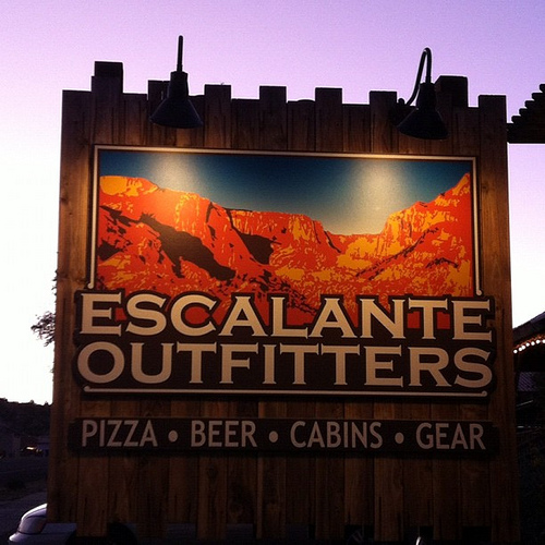
Escalante in the region of Utah with its 797 habitants is a place located in United States - some 1,864 mi or ( 2999 km ) West of Washington , the country's capital .
Local time in Escalante is now 11:28 AM (Thursday) . The local timezone is named " America/Denver " with a UTC offset of -6 hours. Depending on your mobility, these larger cities might be interesting for you: Flagstaff, Las Vegas, Beaver, Fillmore, and Kanab. When in this area, you might want to check out Flagstaff . We discovered some clip posted online . Scroll down to see the most favourite one or select the video collection in the navigation. Are you looking for some initial hints on what might be interesting in Escalante ? We have collected some references on our attractions page.
Videos
ShootingStarDrive-in.com An Old Hollywood Era Airstream Resort
Stay in an Airstream designed and decorated as if it was the dressing trailer of a Hollywood movie star while they were shooting on location, and watch classic films at an old fashioned drive-in. (Cla ..
ACA Technical Course - Day 1
***This is not meant to be a training video - just a fun look at the experiences we had - Please get real training from the ACA websites listed below*** Technical Canyoneering Course, October 2009, Es ..
Southern Utah - Coral Pink Sand Dunes, Wire Pass, Lower Calf Creek Falls, Devil's Garden in HD
Southern Utah - Coral Pink Sand Dunes, Wire Pass, Lower Calf Creek Falls, Devil's Garden. Recorded October 2011 in HD with Panasonic TM900. Music: Tim Story - Abridged - 13 - The Moors Mychael Danna - ..
Mossy Creek, Escalante Petrified Forest StatePark Kupdegra's photos around Escalante (vacation)
Preview of Kupdegra's blog at TravelPod. Read the full blog here: www.travelpod.com This blog preview was made by TravelPod using the TripAdvisor™ TripWow slideshow creator. Learn more about these vid ..
Videos provided by Youtube are under the copyright of their owners.
Interesting facts about this location
Kiva Koffeehouse
The Kiva Koffeehouse is a restaurant and inn located in the Canyons of the Escalante within the 1,900,000 acres of the Grand Staircase-Escalante National Monument in the United States. Its kiva-styled building, which has been compared to Frank Lloyd Wright's Taliesin West, was designed by Bradshaw Bowman, the inventor of Bomanite.
Located at 37.77 -111.42 (Lat./Long.); Less than 16 km away
Calf Creek Falls
Calf Creek Falls is a perennial waterfall in the Grand Staircase-Escalante National Monument in Utah that totals 214 feet . The lower tier is a 126-foot cascade and is very popular, because it can be reached by an easy hike on a 5½ mile roundtrip trail. The upper tier is a 88-foot plunge and is much less known, as it requires a 1-mile scramble past the lower falls.
Located at 37.83 -111.42 (Lat./Long.); Less than 17 km away
Kaiparowits Plateau
The Kaiparowits Plateau is a large, elevated landform located in southern Utah, in the southwestern United States. Along with the Grand Staircase and the Canyons of the Escalante, it makes up a significant portion of the Grand Staircase-Escalante National Monument. Its extension to the southeast, Fiftymile Mountain, runs nearly to the Colorado River and Lake Powell, and is a prominent part of the northern skyline from the Glen Canyon National Recreation Area.
Located at 37.62 -111.67 (Lat./Long.); Less than 17 km away
Kaiparowits Formation
The Kaiparowits Formation is a sedimentary rock formation found in the Kaiparowits Plateau in Grand Staircase-Escalante National Monument, in the southern part of Utah in the western United States. It is over 2800 feet (850 m) thick, and is Campanian in age. This Upper Cretaceous formation was formed from alluvial floodplains of large rivers in coastal southern Laramidia; sandstone beds are the deposit of rivers, and mudstone beds represent floodplain deposits.
Located at 37.62 -111.67 (Lat./Long.); Less than 17 km away
Garfield County, Utah
Garfield County is a county located in the U.S. state of Utah. As of 2000 the population was 4,735. It was named for James A. Garfield, President of the United States in 1881. Its county seat and largest city is Panguitch.
Located at 37.87 -111.44 (Lat./Long.); Less than 18 km away
Pictures
Related Locations
Information of geographic nature is based on public data provided by geonames.org, CIA world facts book, Unesco, DBpedia and wikipedia. Weather is based on NOAA GFS.