-
You are here:
- Homepage »
- United States »
- Washington » Waitsburg

Waitsburg Destination Guide
Discover Waitsburg in United States
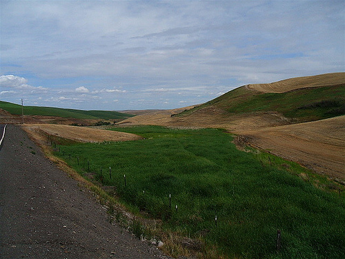
Waitsburg in the region of Washington with its 1,217 habitants is a town located in United States - some 2,127 mi or ( 3424 km ) West of Washington , the country's capital .
Local time in Waitsburg is now 03:43 PM (Tuesday) . The local timezone is named " America/Los Angeles " with a UTC offset of -7 hours. Depending on your flexibility, these larger cities might be interesting for you: Gilliam, Boise, Lewiston, Moscow, and Kalispell. When in this area, you might want to check out Gilliam . We found some clip posted online . Scroll down to see the most favourite one or select the video collection in the navigation. Are you looking for some initial hints on what might be interesting in Waitsburg ? We have collected some references on our attractions page.
Videos
7x7 Washington State Bull Elk at 35 yards
This is a 7 by 7 Washington State Elk. ..
Black Flag Main Street America
Art in Waitsburg, Washington ..
Sunrise
Setting out from Walla Walla in the dark, I was offered this beautiful sunrise as I crested a ridge in the Blue Mountains of eastern Washington. ..
Videos provided by Youtube are under the copyright of their owners.
Interesting facts about this location
Waitsburg, Washington
Waitsburg is a city in Walla Walla County, Washington, United States. The population was 1,217 at the 2010 census. Waitsburg has a unique city classification in the State of Washington. It is the only city which still operates under its territorial charter.
Located at 46.27 -118.15 (Lat./Long.); Less than 0 km away
Lewis and Clark Trail State Park
Lewis and Clark Trail State Park in Columbia County, Washington is a camping park in the Washington State Park System. It consists of 37 acres of old-growth forest and river amid surrounding grassland, and includes 1,333 feet of freshwater shoreline on the Touchet River. Available activities include hiking, fishing, swimming, birdwatching, interpretive activities, wildlife viewing, and athletic areas.
Located at 46.29 -118.07 (Lat./Long.); Less than 7 km away
Prescott, Washington
Prescott is a city in central Walla Walla County, Washington. The population was 318 at the 2010 census.
Located at 46.30 -118.31 (Lat./Long.); Less than 13 km away
Dixie, Washington
Dixie is a census-designated place (CDP) in Walla Walla County, Washington, United States. The population was 197 at the 2010 census. Based on per capita income, one of the more reliable measures of affluence, Dixie ranks 96th of 522 areas in the state of Washington to be ranked. It is also the highest rank achieved in Walla Walla County.
Located at 46.14 -118.15 (Lat./Long.); Less than 14 km away
Dayton, Washington
Dayton is a city in and the county seat of Columbia County, Washington, United States. The population was 2,526 at the 2010 census.
Located at 46.32 -117.98 (Lat./Long.); Less than 15 km away
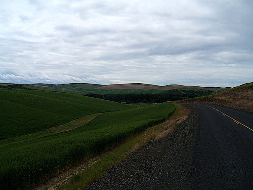
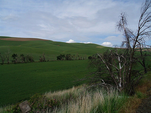
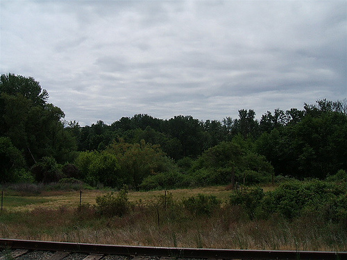
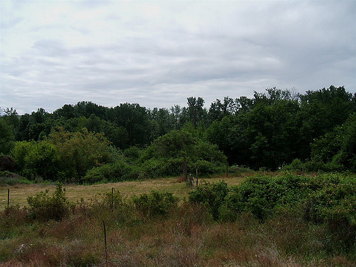
Pictures
Related Locations
Information of geographic nature is based on public data provided by geonames.org, CIA world facts book, Unesco, DBpedia and wikipedia. Weather is based on NOAA GFS.