-
You are here:
- Homepage »
- United Kingdom »
- Scotland » Bishopton

Bishopton Destination Guide
Touring Bishopton in United Kingdom
Bishopton in the region of Scotland with its 5,029 citizens is located in United Kingdom - some 353 mi or ( 568 km ) North-West of London , the country's capital city .
Time in Bishopton is now 11:30 AM (Wednesday) . The local timezone is named " Europe/London " with a UTC offset of 0 hours. Depending on your budget, these more prominent places might be interesting for you: Stirling, Sheffield, Perth, Paisley, and Old Kilpatrick. Being here already, consider visiting Stirling . We collected some hobby film on the internet . Scroll down to see the most favourite one or select the video collection in the navigation. Check out our recommendations for Bishopton ? We have collected some references on our attractions page.
Videos
Rivers Lower Course
Landforms and land use: a general film about these features in the lower course of a river. ..
Out for dinner
Jimmy MacDonald's Youtube Presents: Out for dinner. [Well it was a late lunch for me, 8pm] **************************************** ************** [View all my Video Uploads: www.youtube.com Out for d ..
Ronnie B Goodwin's Shooter festival tour 2009 Part 1
Ronnie B Goodwin takes you on a short trip from Scotland to Cannes, Tamworth to Palm Springs, and experience the festival tour so far with his award winning short film 'Shooter'. You can download the ..
unit 23 daytrip
just a wee day trip out to unit 23 in dumbarton, Scotland. ..
Videos provided by Youtube are under the copyright of their owners.
Interesting facts about this location
M898 motorway
The M898 motorway is a ⁄2-mile motorway in Renfrewshire, Scotland. It is a spur route from the M8 motorway towards the Erskine Bridge. It is the highest numbered motorway in the United Kingdom, and one of the shortest. It lacks hard shoulders along its length. Its northern terminus comes at the junction with the A726 road, the former location of the toll booths for the Erskine Bridge, which were removed on 1 April 2006.
Located at 55.90 -4.48 (Lat./Long.); Less than 2 km away
Bowling, West Dunbartonshire
Bowling is a village in West Dunbartonshire, Scotland, with a population of 5,500 (2011). It lies on the north bank of the Firth of Clyde, between the towns of Clydebank and Dumbarton. It is at one end of the Antonine Wall and therefore represents the extreme limit of the Roman Empire on the west coast of the island of Great Britain. A play about the history of the surrounding Dumbarton area was called The Romans Stopped At Bowling.
Located at 55.93 -4.50 (Lat./Long.); Less than 3 km away
Forth and Clyde Canal
The Forth and Clyde Canal is a canal opened in 1790, crossing central Scotland; it provided a route for the seagoing vessels of the day between the Firth of Forth and the Firth of Clyde at the narrowest part of the Scottish Lowlands. It is 35 miles (56 km) long and it runs from the River Forth near Grangemouth to the River Clyde at Bowling, and had an important basin at Port Dundas in Glasgow.
Located at 55.93 -4.48 (Lat./Long.); Less than 3 km away
Erskine Bridge
The Erskine Bridge is a cable-stayed box girder bridge spanning the River Clyde in west central Scotland, connecting West Dunbartonshire with Renfrewshire. The bridge was designed by William Brown and opened on 2 July 1971 by HRH Princess Anne. It has a 524 m main span and two 68 m approach spans and is 38 m high and 1310 m (4300 ft) long. The ceremonial plaque of the opening can be viewed on the railings of the western footpath, at the centre of the main span.
Located at 55.92 -4.46 (Lat./Long.); Less than 3 km away
Milton, West Dunbartonshire
Milton (historically, Milton of Colquhoun) is a village in West Dunbartonshire, Scotland. It lies about 1 mile east of Dumbarton, on the A82 Glasgow-Loch Lomond road and below the Overtoun Bridge. It previously had two primary schools, now closed, one on the long road up to Overtoun house and one on the main stretch of road to Glasgow.
Located at 55.94 -4.52 (Lat./Long.); Less than 3 km away
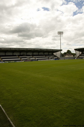
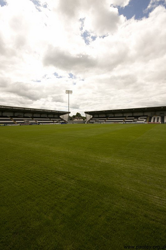
Pictures


Related Locations
Information of geographic nature is based on public data provided by geonames.org, CIA world facts book, Unesco, DBpedia and wikipedia. Weather is based on NOAA GFS.