-
You are here:
- Homepage »
- United States »
- California » Frazier Park

Frazier Park Destination Guide
Explore Frazier Park in United States
Frazier Park in the region of California with its 2,691 inhabitants is a town in United States - some 2,313 mi or ( 3723 km ) West of Washington , the country's capital city .
Current time in Frazier Park is now 11:54 PM (Tuesday) . The local timezone is named " America/Los Angeles " with a UTC offset of -7 hours. Depending on the availability of means of transportation, these more prominent locations might be interesting for you: Bakersfield, Caswell, Gorman, Grapevine, and LA. Since you are here already, make sure to check out Bakersfield . We encountered some video on the web . Scroll down to see the most favourite one or select the video collection in the navigation. Where to go and what to see in Frazier Park ? We have collected some references on our attractions page.
Videos
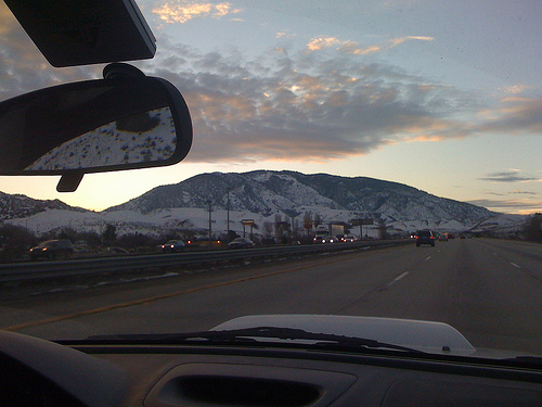
California Interstate 5 (I-5) Grapevine Ascent at 300 MPH
Welcome to one of the world's busiest commercial thoroughfares. Fasten your seatbelt as you ascend California Interstate 5's legendary Grapevine grade at a blistering 300 MPH (video simulation Mr. CHP ..
San Andreas Fault
California's most famous and feared seismic fault! Here's a section just north of LA as it is seen to the right of the northbound I-5 at Gorman Post Road, The Pacific Tectonic Plate is on the left, th ..
Dirt biking in Frazier Park, CA (HD 170)
Bati, Rody y Andres ..
Hungry Valley - May 2009 - Lower Pronghorn Trail
Taking the Hummer H3 down the hard part of the trail ..
Videos provided by Youtube are under the copyright of their owners.
Interesting facts about this location
Tejon Pass
The Tejon Pass is a mountain pass, between the southwest end of the Tehachapi Mountains and northeastern San Emigdio Mountains, linking Northern California via the Central Valley to Southern California.
Located at 34.80 -118.88 (Lat./Long.); Less than 7 km away
Hungry Valley
Hungry Valley is a valley in the northern part of Los Angeles County south of Gorman.
Located at 34.78 -118.88 (Lat./Long.); Less than 7 km away
Peace Valley (Los Angeles County)
Peace Valley is a valley in the northern part of Los Angeles County east and southeast of Gorman.
Located at 34.80 -118.87 (Lat./Long.); Less than 7 km away
Fort Tejon
Fort Tejon in California is a former United States Army outpost which was intermittently active from June 24, 1854, until September 11, 1864. It is located in the Grapevine Canyon (La Cañada de las Uvas) between the San Emigdio Mountains and Tehachapi Mountains. It is in the area of Tejon Pass along Interstate 5, the main route through the mountain ranges separating the Central Valley from the Los Angeles Basin and Southern California.
Located at 34.87 -118.89 (Lat./Long.); Less than 7 km away
Rancho Castac
This is an article about a former California rancho. For a community of a similar name in the same general area, see Castaic, California. Rancho Castac or Rancho Castec was a 22,178-acre Mexican land grant in present-day Kern and Los Angeles counties, California, made by Governor Manuel Micheltorena to Jose Maria Covarrubias in 1843. The word Castac is derived from Kashtiq, the Chumash-language name that the Chumash people gave to the area.
Located at 34.85 -118.85 (Lat./Long.); Less than 9 km away
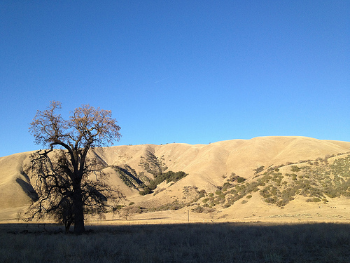
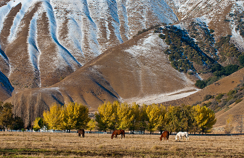
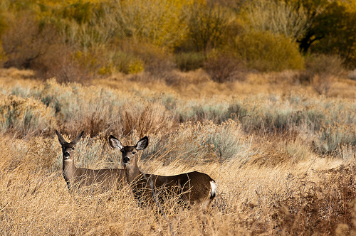
Pictures

Related Locations
Information of geographic nature is based on public data provided by geonames.org, CIA world facts book, Unesco, DBpedia and wikipedia. Weather is based on NOAA GFS.