-
You are here:
- Homepage »
- United States »
- California » Freedom

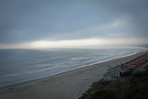
Freedom Destination Guide
Touring Freedom in United States
Freedom in the region of California with its 3,070 citizens is located in United States - some 2,418 mi or ( 3891 km ) West of Washington , the country's capital city .
Time in Freedom is now 10:58 AM (Friday) . The local timezone is named " America/Los Angeles " with a UTC offset of -7 hours. Depending on your budget, these more prominent places might be interesting for you: Aptos, Aromas, Day Valley, Fresno, and LA. Being here already, consider visiting Aptos . We collected some hobby film on the internet . Scroll down to see the most favourite one or select the video collection in the navigation. Check out our recommendations for Freedom ? We have collected some references on our attractions page.
Videos
831 SIGH
Best Graffiti artist ever watsonville california 831 Sigh ..
Mooney flight to Watsonville, California
Beautiful flight from Jackson to Watsonville, California. Sunny January day in California. Great in-flight footage of Santa Cruz, Capitola, Monterey Bay and the San Francisco bay area. ..
Sick Minded Car Club
4 ..
Santa Cruz Local on Walker Street in Watsonville, CA
On 2-18-09 Union Pacific's Santa Cruz Local does some street running down Walker Street in Watsonville, CA. The train has just left the Watsonville Jct. yard to begin its journey west to the Cemex pla ..
Videos provided by Youtube are under the copyright of their owners.
Interesting facts about this location
Freedom, California
Freedom is a census-designated place (CDP) in Santa Cruz County, California, United States. The population was 3,070 at the 2010 census.
Located at 36.94 -121.79 (Lat./Long.); Less than 1 km away
Watsonville Municipal Airport
Watsonville Municipal Airport is a public airport located three miles (5 km) northwest of the central business district (CBD) of Watsonville, a city in Santa Cruz County, California, USA. The airport covers 330 acres and has two runways. The largest aircraft to ever land at Watsonville were 05-5141 and 05-5143, C-17 Globemaster IIIs from March ARB, CA.
Located at 36.94 -121.79 (Lat./Long.); Less than 1 km away
Amesti, California
Amesti is a census-designated place (CDP) in Santa Cruz County, California, United States. The population was 3,478 at the 2010 census. Amesti is named for José Amesti, a Basque who came to California in 1822, and who was the grantee of Rancho Los Corralitos.
Located at 36.96 -121.78 (Lat./Long.); Less than 2 km away
Watsonville, California
Watsonville is a city in Santa Cruz County, California, United States. The population was 51,199 according to the 2010 census. Located on the central coast of California, the economy centers predominantly around the farming industry. It is known for growing strawberries, apples, lettuce and a host of other vegetables. Watsonville is home to people of varied ethnic backgrounds.
Located at 36.92 -121.76 (Lat./Long.); Less than 3 km away
Interlaken, California
Interlaken is a census-designated place (CDP) in Santa Cruz County, California, United States. The population was 7,321 at the 2010 census.
Located at 36.96 -121.75 (Lat./Long.); Less than 4 km away
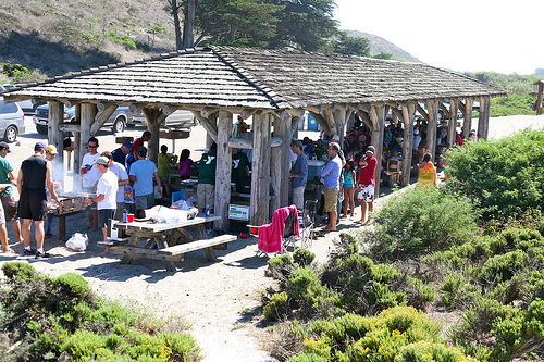
Pictures


Related Locations
Information of geographic nature is based on public data provided by geonames.org, CIA world facts book, Unesco, DBpedia and wikipedia. Weather is based on NOAA GFS.