-
You are here:
- Homepage »
- United States »
- California » San Pasqual

San Pasqual Destination Guide
Explore San Pasqual in United States
San Pasqual in the region of California with its 2,041 inhabitants is a place in United States - some 2,249 mi or ( 3619 km ) West of Washington , the country's capital city .
Time in San Pasqual is now 07:14 PM (Tuesday) . The local timezone is named " America/Los Angeles " with a UTC offset of -7 hours. Depending on your budget, these more prominent locations might be interesting for you: Bakersfield, Escondido, Fresno, Hidden Meadows, and Irvings Crest. Since you are here already, consider visiting Bakersfield . We saw some hobby film on the internet . Scroll down to see the most favourite one or select the video collection in the navigation. Where to go and what to see in San Pasqual ? We have collected some references on our attractions page.
Videos
Landing at Ramona Airport (KRNM)
A friend of mine and I did a flight to Ramona Airport (KRNM), he got to fly there and I flew back to Brackett (KPOC). This is his landing at Ramona. Enjoy... ..
Zippity Do Dat- Wild Animal Park Flightline
Join riders as they fly 130 feet above the ground for more than two-thirds of a mile, on the new Flightline attraction at the Wild Animal Park in Escondido. Video by Dan Trevan ..
The Talk of San Diego Show visits The Safari at San Diego Zoo with Annjanae Gonzales
The Talk of San Diego Show visits The Safari at San Diego Zoo with Annjanae Gonzales. This video features the 40th anniversary of the Safari at the San Diego Zoo. The main speaker at the celebration w ..
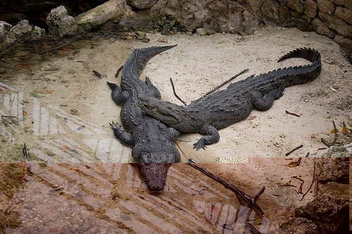
Images from San Diego Zoo Safari Park
In addition to its well-known zoo in Balboa Park in the City of San Diego, the Zoological Society maintains a separate facility about 35 miles North in Escondito, CA. The Safari Park occupies nearly 3 ..
Videos provided by Youtube are under the copyright of their owners.
Interesting facts about this location
Battle of San Pasqual
The Battle of San Pasqual, also spelled San Pascual, was a military encounter that occurred during the Mexican-American War in what is now the San Pasqual Valley community of the city of San Diego, California. On December 6 and December 7, 1846, General Stephen W. Kearny's US Army column, along with a smaller force of Marines, engaged a small contingent of Californios and their Presidial Lancers, led by Capt. Leonardo Cota; eventually joined by Major Andrés Pico.
Located at 33.09 -116.99 (Lat./Long.); Less than 3 km away
San Diego Zoo Safari Park
The San Diego Zoo Safari Park, formerly known as the San Diego Wild Animal Park, is a 1,800 acres zoo in the San Pasqual Valley area of San Diego, California, near Escondido. It is one of the largest tourist attractions in San Diego County. The park houses a large array of wild and endangered animals including species from the continents of Africa, Asia, Europe, North and South America, and Australia.
Located at 33.10 -117.00 (Lat./Long.); Less than 5 km away
Rincon Del Diablo
Rincon del Diablo is an unincorporated community in San Diego County, California. Because it predates Escondido and other geopolitical boundaries, it does not necessarily correspond to present day definitions. It encompasses the city of Escondido to the north and west and San Pasqual Valley neighborhood of San Diego to the southeast. Western and northern parts of the community contain low-density semi-rural housing. Southeastern part is agricultural.
Located at 33.10 -117.01 (Lat./Long.); Less than 5 km away
San Pasqual Valley, San Diego
San Pasqual Valley is the northernmost community of the city of San Diego. It is bordered on the north by the city of Escondido, on the east and west by unincorporated land within San Diego County, and on the south by the city of Poway and the community of Rancho Bernardo. State Highway 78 runs through the valley between Escondido and Ramona. The valley is part of the Santa Ysabel watershed, which drains into the San Dieguito River.
Located at 33.08 -117.02 (Lat./Long.); Less than 6 km away
Ramona Airport
Ramona Airport is a public airport located two miles (3 km) west of the central business district of Ramona, in San Diego County, California, United States. It is owned by the County of San Diego. The airport is mostly used for general aviation, the California Department of Forestry (CDF) and the United States Forest Service (USFS) jointly operate a fire attack base. The Ramona Air Fair is a popular airshow held every year in June. Although most U.S.
Located at 33.04 -116.92 (Lat./Long.); Less than 7 km away
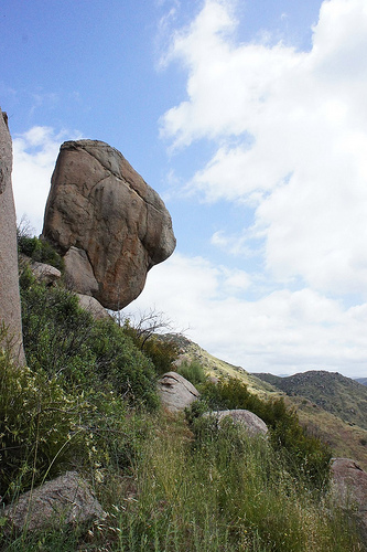
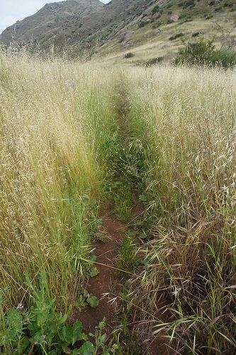
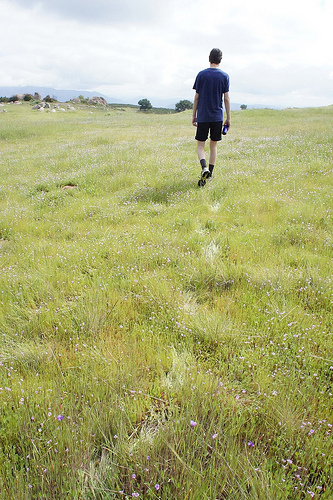
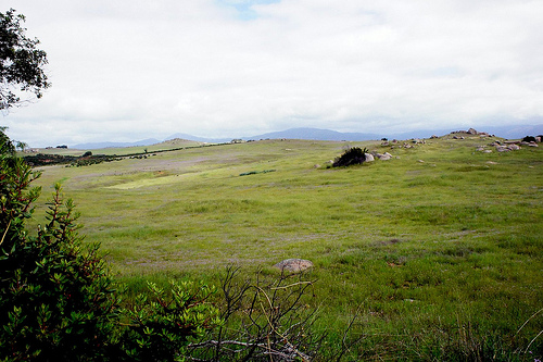
Pictures


Related Locations
Information of geographic nature is based on public data provided by geonames.org, CIA world facts book, Unesco, DBpedia and wikipedia. Weather is based on NOAA GFS.