-
You are here:
- Homepage »
- United States »
- Oregon » Brookings

Brookings Destination Guide
Explore Brookings in United States
Brookings in the region of Oregon with its 6,336 inhabitants is a town in United States - some 2,461 mi or ( 3961 km ) West of Washington , the country's capital city .
Current time in Brookings is now 12:36 PM (Saturday) . The local timezone is named " America/Los Angeles " with a UTC offset of -7 hours. Depending on the availability of means of transportation, these more prominent locations might be interesting for you: Sacramento, Crescent City, Eureka, Smith River, and Yontocket. Since you are here already, make sure to check out Sacramento . We encountered some video on the web . Scroll down to see the most favourite one or select the video collection in the navigation. Where to go and what to see in Brookings ? We have collected some references on our attractions page.
Videos
Tsunami causes West Coast Damage, Brookings Oregon 3/11/2011
On March 3 2011 a powerful earthquake struck the coast off of Japan. At approximatley 8:31 am almost 7 hours later those large ocean waves traveled across the pacific ocean striking the west coast of ..
Azalea Express
The Azalea Festival in Miniature in the Stout Mountain Railway Garden May 9th 2009. ..
BHHS bTV - Breaking News - Thanksgiving Storms & Flooding (Video 1)
Please visit our website at www.bhhsbtv.com Breaking news updates at http Interested in Joining? Visit our website, bhhsbtv.com! Facebook Page www.facebook.com ..
Chetco Community Public Library
A look back at the opening of the New Chetco Library Building. 1993-2008 ..
Videos provided by Youtube are under the copyright of their owners.
Interesting facts about this location
Brookings-Harbor High School
Brookings-Harbor High School (BHHS) is a public high school located in Brookings, Oregon, United States.
Located at 42.06 -124.28 (Lat./Long.); Less than 1 km away
Zwagg Island
Zwagg Island, also known as Grand Island, is a non-populated island near Brookings in Curry County, Oregon, United States. The island is approximately 5 acres in size and about 0.5 miles southwest of the intersection of Mill Beach Road and highway 101. A 1988 report by the United States Geological Survey found no resources on the island. Zwagg Island was named after Folker Von Der Zwaag, an 1889 Oregon pioneer born in the Netherlands.
Located at 42.05 -124.29 (Lat./Long.); Less than 1 km away
Port of Brookings Harbor
The Port of Brookings Harbor is the port authority for the city of Brookings, Oregon, United States, and serving the neighboring community of Harbor. The district covers 400 square miles from the mouth of the Chetco River south to the Oregon-California border, north to the mouth of the Pistol River, and east to the Curry-Josephine county line. The district is governed by a five-member commission elected at-large from the district population of approximately 16,000.
Located at 42.05 -124.27 (Lat./Long.); Less than 1 km away
KSEP-LP
KSEP-LP is a radio station licensed to Brookings, Oregon, USA. The station is currently owned by Anchor Network.
Located at 42.06 -124.26 (Lat./Long.); Less than 2 km away
Garvins Heliport
Garvins Heliport is a private heliport located north of Brookings in Curry County, Oregon, USA.
Located at 42.07 -124.30 (Lat./Long.); Less than 2 km away
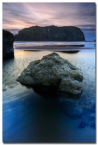
Pictures


Related Locations
Information of geographic nature is based on public data provided by geonames.org, CIA world facts book, Unesco, DBpedia and wikipedia. Weather is based on NOAA GFS.