-
You are here:
- Homepage »
- United States »
- Oregon » Troutdale

Troutdale Destination Guide
Explore Troutdale in United States
Troutdale in the region of Oregon with its 15,962 inhabitants is a place in United States - some 2,333 mi or ( 3755 km ) West of Washington , the country's capital city .
Time in Troutdale is now 11:04 AM (Tuesday) . The local timezone is named " America/Los Angeles " with a UTC offset of -7 hours. Depending on your budget, these more prominent locations might be interesting for you: Boring, Corbett, Corvallis, Damascus, and Eugene. Since you are here already, consider visiting Boring . We saw some hobby film on the internet . Scroll down to see the most favourite one or select the video collection in the navigation. Where to go and what to see in Troutdale ? We have collected some references on our attractions page.
Videos
Marijuana Max has fun with marijuana
Marijuana Max has fun with marijuana, great big buds dripping with lot's of gooey oil, smokin' fucking da kine killer green buds ..
R'Evan Selby, Beatboxing Pro
R'Evan Selby, beatboxer extraordinaire, owning it at McMenamins Edgefield. ..
Steve Martin And Emmylou Harris Live-Get Up John
From their Edgefield concert on 7-26. Paying tribute to Bill Monroe. ..
Growing Carrots: Red, Yellow, Purple & Orange
There's an exciting world out there of diverse carrot varieties -- yellows, purples, and reds -- which offer distinct tastes and textures. Farmer Shari Sirkin of Dancing Roots Farm talks about some of ..
Videos provided by Youtube are under the copyright of their owners.
Interesting facts about this location
Portland-Troutdale Airport
Portland-Troutdale Airport is a public use airport located 10 nautical miles (19 km) east of the central business district of Portland, in Multnomah County, Oregon, United States. Also known as Troutdale Airport, it is located in Troutdale. It is one of four airports in the Portland metropolitan area owned and operated by the Port of Portland. The airport was purchased by the Port of Portland in 1942, serving as a reliever airport for nearby Portland International Airport (PDX) until the 1950s.
Located at 45.55 -122.40 (Lat./Long.); Less than 2 km away
Reynolds High School (Troutdale, Oregon)
Reynolds High School is the only public high school in Troutdale, Oregon, and is in the Reynolds School District. It is one of the most populated high schools in the state of Oregon.
Located at 45.53 -122.40 (Lat./Long.); Less than 2 km away
Multnomah County, Oregon
Multnomah County is one of 36 counties in the U.S. state of Oregon. It is part of the Portland metropolitan area and though smallest in area, it is the most populous county. Its county seat, Portland, is the state's largest city. As of the 2010 census, the county's population was 735,334.
Located at 45.54 -122.41 (Lat./Long.); Less than 2 km away
Mt. Hood Community College
Mt. Hood Community College {{#invoke:InfoboxImage|InfoboxImage|image=|size=|sizedefault=frameless|alt=}}Established 1966President Michael HayStudents 32,433 (2011)Location Gresham, United StatesCampus 212 acres Website www. mhcc. edu Mt. Hood Community College (MHCC) is a public community college in Gresham, Oregon, United States, named after Mount Hood.
Located at 45.52 -122.40 (Lat./Long.); Less than 2 km away
Cleveland Avenue (MAX station)
The Cleveland Avenue station is a MAX light rail station in Gresham, Oregon. The light rail station is the 26th and final stop eastbound on the current Eastside MAX line. It is the eastern terminus of the Blue Line. This station is a large park-and-ride station located just east of Cleveland Avenue in Gresham, between Northeast Division Street and East Powell Boulevard. Service began at this station in 1986, when the original Eastside MAX opened.
Located at 45.50 -122.42 (Lat./Long.); Less than 5 km away
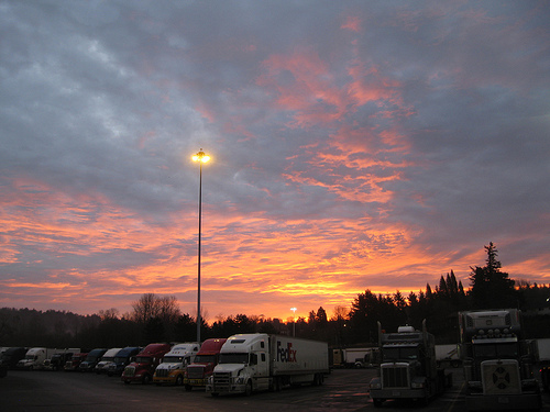
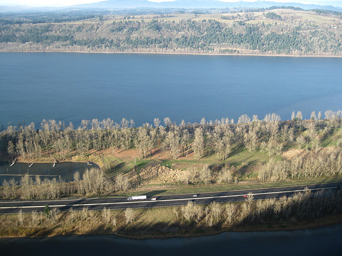
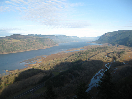
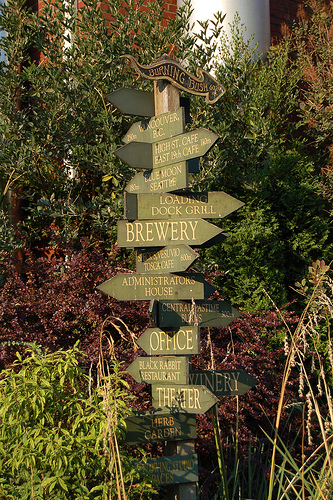
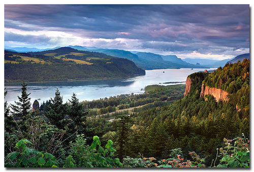
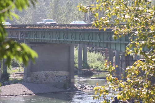
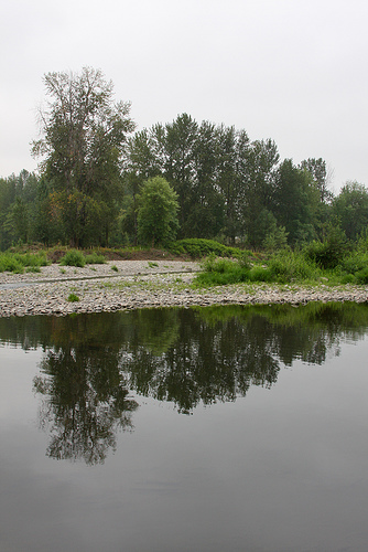
Pictures
Related Locations
Information of geographic nature is based on public data provided by geonames.org, CIA world facts book, Unesco, DBpedia and wikipedia. Weather is based on NOAA GFS.