
Explore Attwood in Australia
Attwood in the region of Victoria is a place in Australia - some 288 mi or ( 463 km ) South-West of Canberra , the country's capital city .
Time in Attwood is now 12:33 PM (Friday) . The local timezone is named " Australia/Melbourne " with a UTC offset of 11 hours. Depending on your budget, these more prominent locations might be interesting for you: Richmond, Moonee Ponds, Melbourne, Collingwood, and Campbellfield. Since you are here already, consider visiting Richmond . We saw some hobby film on the internet . Scroll down to see the most favourite one or select the video collection in the navigation. Where to go and what to see in Attwood ? We have collected some references on our attractions page.
Videos
Melbourne Airport, Inside the new terminal.
Inside the new terminal at Melbourne Airport. This is a virtual tour of inside the proposed new terminal at Melbourne Airport. ..
Qantaslink Dash 8 VH-TQK (hi-def)
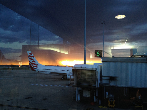
Arriving Melbourne Airport Bay B28 ..
Airport Tourist Village Melbourne
Check out our website at atvm.com.au or call us on 03 93331619 Looking for a great base from which to explore Melbourne and its surrounds? Looking for a quality venue able to excellently and affordabl ..
Melbourne Airport via Western Ring Road
Driving along the Princes Freeway, Western Ring Road and Tullamarine Freeway before arriving at the Melbourne International Airport. Music: Kevin MacLeod - Cognitive Dissonance Thank you to Kevin MacL ..
Videos provided by Youtube are under the copyright of their owners.
Interesting facts about this location
Attwood, Victoria
Attwood is a suburb of Melbourne, Victoria, Australia, 20 km north-west from Melbourne's central business district. Its Local Government Area is the City of Hume. At the 2011 Census, Attwood had a population of 3,261. Attwood is home to Victoria Police's driver training track, Dog Squad and Mounted Branch. The suburb is located south of Greenvale, along Mickleham Road.
Located at -37.67 144.89 (Lat./Long.); Less than 0 km away
Westmeadows, Victoria
Westmeadows is a suburb of Melbourne, Victoria, Australia, 17 km north from Melbourne's central business district. Its Local Government Area is the City of Hume. At the 2011 Census, Westmeadows had a population of 5,524. Mainly a residential suburb, Westmeadows includes the areas east and west of Mickleham Road.
Located at -37.68 144.89 (Lat./Long.); Less than 1 km away
Moonee Ponds Creek Trail
250px Moonee Ponds Creek Trail running alongside Citylink Moonee Ponds Creek Trail Length Approx 25 km Difficulty Easy <tr><td> Hills </td><td> Flat</td></tr><tr><td> Hazards </td><td> Some blind corners, steep drop into creek</td></tr><tr><td> Path </td><td> Bitumen path, purpose built wooden decking in spots</td></tr> Connecting Transport <tr><td> Train </td><td> Jacana, Pascoe Vale and Flemington Bridge stations</td></tr> The Moonee Ponds Creek Trail is a shared use path for cyclists and pedestrians, which follows the Moonee Ponds Creek through the northern suburbs of Melbourne, Victoria, Australia.
Located at -37.67 144.87 (Lat./Long.); Less than 2 km away
Erinbank Secondary College
Erinbank Secondary College was a Victorian Government secondary college (high school). The college is located in Westmeadows a northwestern suburb of Melbourne, Australia. Erinbank provides a comprehensive education from years 7 through to 12. In the 1970s Erinbank Secondary College was formerly known as Westmeadows Heights High School and still occupies its original location on Erinbank Crescent, the street for which it was renamed.
Located at -37.67 144.91 (Lat./Long.); Less than 2 km away
Tullamarine Freeway
The Tullamarine Freeway is an urban freeway in Melbourne, Australia, linking Melbourne Airport to the central business district.
Located at -37.70 144.89 (Lat./Long.); Less than 3 km away
Pictures
Historical Weather
Related Locations


Information of geographic nature is based on public data provided by geonames.org, CIA world facts book, Unesco, DBpedia and wikipedia. Weather is based on NOAA GFS.