-
You are here:
- Homepage »
- Austria »
- Vorarlberg » Nenzing

Nenzing Destination Guide
Explore Nenzing in Austria
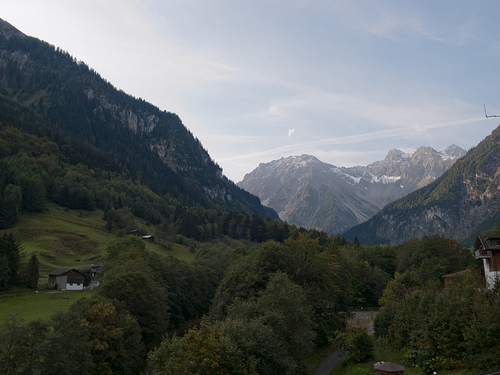
Nenzing in the region of Vorarlberg with its 5,856 inhabitants is a town in Austria - some 318 mi or ( 512 km ) West of Vienna , the country's capital city .
Current time in Nenzing is now 05:53 AM (Thursday) . The local timezone is named " Europe/Vienna " with a UTC offset of 1 hours. Depending on the availability of means of transportation, these more prominent locations might be interesting for you: Zurich, Winterthur, Schlins, Rankweil, and Nenzing. Since you are here already, make sure to check out Zurich . We encountered some video on the web . Scroll down to see the most favourite one or select the video collection in the navigation. Where to go and what to see in Nenzing ? We have collected some references on our attractions page.
Videos
Bürserberg
Bürserberg ist eine in mehrere Terrassen gegliederte Hangsiedlung am Eingang des Brandnertals. Eine neue Panoramabahn verbindet die Skigebiete Bürserberg und Brand. ..
Bürserberg
Bürserberg ist eine in mehrere Terrassen gegliederte Hangsiedlung am Eingang des Brandnertals. Eine neue Panoramabahn verbindet die Skigebiete Bürserberg und Brand. Ein Kuriosum sind die hier entdeckt ..
Laterns
Laterns-Gapfohl, ein gemütliches Familienskigebiet, ist vom Rheintal aus in einer Viertelstunde zu erreichen. Eine wunderbar angelegte Rodelbahn und gratis Kinderbetreuung im phantasievollen Kinderlan ..
FiFA 11 - 50 METER TOR !
- ABONNIEREN - Volley aus 50m entfernung, in der Arena - High Defination FiFA 11 - FiFA 11 - FiFA 11 - FiFA 11 - FiFA 11 - FiFA 11 - FiFA 11 - FiFA 11 ..
Videos provided by Youtube are under the copyright of their owners.
Interesting facts about this location
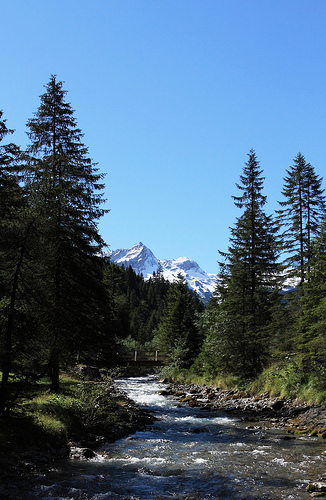
Meng (river)
The Meng River originates from the "Red Wall" - gorge at 2,390 meters above sea level. It flows through the Gamperdonatal in a northern direction, where it unites in the municipality of Nenzing with the Ill. It reaches a length of 18 kilometers. The Gampbach with 5 kilometers of length approaches from the right side out of the Gamptal. Gampbach merges in the middle part with the Meng River.
Located at 47.18 9.72 (Lat./Long.); Less than 1 km away
Galina (Austria)
The Galina River originates near the „Rossboden“ 2,060 metres above Sea Level. It is one of the shortest rivers of Vorarlberg. The Galina River also merges with the Ill River between Feldkirch and the village of Nenzing.
Located at 47.21 9.67 (Lat./Long.); Less than 4 km away
Samina (river)
The Samina also: Saminabach is a rapid river that originates in Liechtenstein and formed the Samina Valley in the course of time. It has a length of approximately 17 km and is the 2nd longest river of the principality. In the community area of Frastranz the river merges with the Ill. The water is intensively used for electricity production as well as for drinking water supply for the communities of Liechtenstein.
Located at 47.23 9.63 (Lat./Long.); Less than 8 km away
Alvier
The Alvier River is a mountain stream in Vorarlberg and flows through the Brandnertal where it merges with the Ill. The river passes through the municipality of „Brand in Vorarlberg“. The waters have created numerous flat areas in the riverbed. Brook trouts and rainbow trouts splash about in water there. The clear but torrential river has drinking water quality. The pride of the village is the 14 hectare large „Alvier-Bath“ which can be used free of charge.
Located at 47.15 9.80 (Lat./Long.); Less than 8 km away
Bludenz railway station
Bludenz railway station serves the city of Bludenz, in the Bludenz district of the Austrian federal state of Vorarlberg. Opened in 1872, it forms the junction between the Arlberg railway and the Vorarlberg railway. The station is also a terminus of the Bludenz–Schruns railway. It is owned and operated by the Austrian Federal Railways (ÖBB).
Located at 47.15 9.81 (Lat./Long.); Less than 9 km away
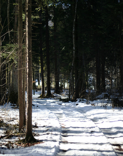
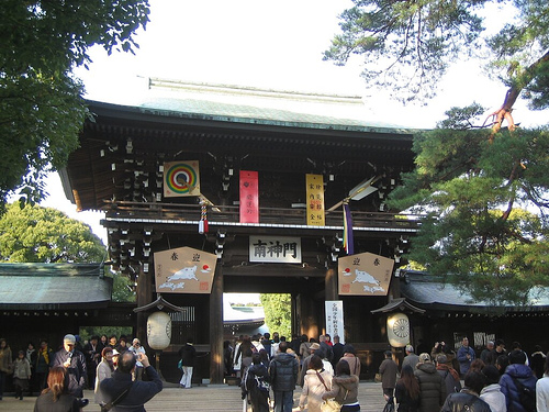
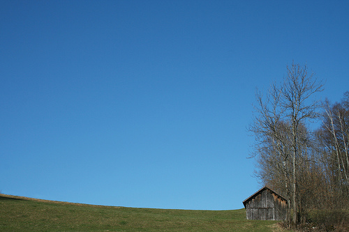
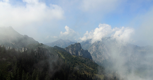
Pictures
Historical Weather
Related Locations
Information of geographic nature is based on public data provided by geonames.org, CIA world facts book, Unesco, DBpedia and wikipedia. Weather is based on NOAA GFS.