
Delve into San Ignacio in Belize
San Ignacio in the region of Cayo with its 16,812 residents is a city in Belize - some 21 mi or ( 34 km ) West of Belmopan , the country's capital .
Current time in San Ignacio is now 06:06 AM (Sunday) . The local timezone is named " America/Belize " with a UTC offset of -6 hours. Depending on your travel modalities, these larger destinations might be interesting for you: Toro, Spanish Lookout, San Felipe, Monkey Fall, and Flour Camp. While being here, make sure to check out Toro . We encountered some video on the web . Scroll down to see the most favourite one or select the video collection in the navigation. Are you curious about the possible sightseeing spots and facts in San Ignacio ? We have collected some references on our attractions page.
Videos
San Ignacio, Belize (inTransit: Episode 15)
Peter leaves the cayes in search of the jungle life. Have any questions? ask @ www.formspring.me Follow @ www.twitter.com visit www.intransit.tv ..
Kumquat Cottage, Belize
Artist-designed house with tropical gardens in San Ignacio, Cayo, Belize. Available as a vacation rental. kumquatcottage.com ..
San Ignacio bridge, Cayo District, Belize , CA Dec. 2009
Driivng east across the San Ignacio bridge into neighboring town of Santa Ellena, Belize. ..
Land of the Free, by the Carib Sea
Belizean National Anthem performed by the Belize City Choral Choir ..
Videos provided by Youtube are under the copyright of their owners.
Interesting facts about this location
Hawksworth Bridge
Hawksworth Bridge is a one lane suspension bridge in San Ignacio, Belize. Built in 1949 and imported from Middlesbrough, England, it crosses the Macal River linking San Ignacio to its sister-town Santa Elena. It is currently the only drivable suspension bridge in Belize. Work began in October 2012 on a new, larger bridge that will link Santa Elena and San Ignacio that will span 154 meters across the Macal River.
Located at 17.16 -89.07 (Lat./Long.); Less than 0 km away
San Ignacio Resort Hotel
San Ignacio Resort Hotel is a hotel resort in San Ignacio, Belize. It is located just off of the Western Highway, above the Macal River valley.
Located at 17.15 -89.07 (Lat./Long.); Less than 0 km away
Norman Broaster Stadium
Norman Broaster Stadium is a multi-purpose stadium in San Ignacio, Belize. It is currently used mostly for football matches and is the home stadium to Belize Defence Force in the Belize Premier Football League (BPFL) of the Football Federation of Belize. The stadium holds 2,000 people.
Located at 17.16 -89.07 (Lat./Long.); Less than 0 km away
Cahal Pech
Cahal Pech is a Maya site located near the Town of San Ignacio in the Cayo District of Belize. The site was a hilltop palacio home for an elite Maya family, and though most major construction dates to the Classic period, evidence of continuous habitation has been dated to as far back as far as 1200 BCE during the Early Middle Formative period (Early Middle Preclassic), making Cahal Pech one of the oldest recognizably Maya sites in Western Belize.
Located at 17.16 -89.06 (Lat./Long.); Less than 1 km away
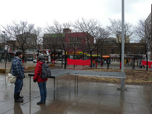
San Ignacio, Belize
San Ignacio and Santa Elena are towns in western Belize. San Ignacio serves as the capital of Cayo District. It got its start from Mahogany and chicle production during British rule. It began to attract different people from the surrounding areas, which led to the diverse population of the town at present day.
Located at 17.16 -89.06 (Lat./Long.); Less than 1 km away
Pictures

Related Locations
Information of geographic nature is based on public data provided by geonames.org, CIA world facts book, Unesco, DBpedia and wikipedia. Weather is based on NOAA GFS.