
Explore Bale in Croatia
Bale in the region of Istarska with its 890 inhabitants is a town in Croatia - some 119 mi or ( 192 km ) South-West of Zagreb , the country's capital city .
Current time in Bale is now 08:10 AM (Sunday) . The local timezone is named " Europe/Zagreb " with a UTC offset of 1 hours. Depending on the availability of means of transportation, these more prominent locations might be interesting for you: Munich, Bratislava, Trieste, Rome, and Rimini. Since you are here already, make sure to check out Munich . We saw some video on the web . Scroll down to see the most favourite one or select the video collection in the navigation. Where to go and what to see in Bale ? We have collected some references on our attractions page.
Videos
Camping Colone - Bale&Vale
www.avtokampi.si - Camp Cologne is located 6km western from city Bale in Istria, close to camp San Polo. Oak and pine trees are guaranteeing great shadow in the camp, but you can surely enjoy sun bath ..
Camping San Polo - Bale&Vale
www.avtokampi.si - Camp San Polo is located close place Bale in Istria and offers oak trees shadow. Camp has 2 km long, mostly graveled beach, where you can find your place and peace under the sun. Pa ..
vs
..
Ponte Porton Freeapproved sport climbing
Sport climbing trip to Ponte Porton, Croatia. Plezanje v Ponte Portonu - kosmatem plezališču Hrvaške ..
Videos provided by Youtube are under the copyright of their owners.
Interesting facts about this location
Monkodonja
Monkodonja is a hill fort occupied about 1800-1200 BC during the Bronze Age, located near the city of Rovinj in the Croatian region of Istria.
Located at 45.07 13.70 (Lat./Long.); Less than 8 km away
Putini, Croatia
Putini, Croatia is a village in Croatia.
Located at 45.11 13.74 (Lat./Long.); Less than 8 km away
Kanfanar interchange
The Kanfanar interchange is a cloverleaf interchange west of Kanfanar, Croatia. The interchange represents the western terminus of the A8 motorway and it connects the A8 route to the A9 motorway representing major a link in the Croatian motorway system. The interchange represents a junction of three arms of the European route E751. Construction of the interchange marked start of construction of the A9 motorway in form of an expressway.
Located at 45.11 13.81 (Lat./Long.); Less than 8 km away
Rovinjsko Selo
Rovinjsko Selo is a village in Croatia. It is connected by the D303 highway.
Located at 45.11 13.72 (Lat./Long.); Less than 9 km away
San Spirodine Church, Peroj
The San Spirodine Church in Peroj is a Serbian Orthodox church in Istria, Croatia. {{#invoke:Coordinates|coord}}{{#coordinates:44.950943|13.798753|region:HR-18_type:landmark|||||| |primary |name= }}
Located at 44.95 13.80 (Lat./Long.); Less than 10 km away
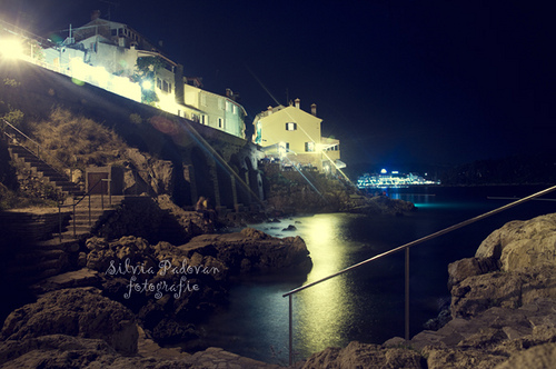
Pictures
Historical Weather
Related Locations


Information of geographic nature is based on public data provided by geonames.org, CIA world facts book, Unesco, DBpedia and wikipedia. Weather is based on NOAA GFS.