-
You are here:
- Homepage »
- India »
- Maharashtra » Savantvadi

Savantvadi Destination Guide
Touring Savantvadi in India
Savantvadi in the region of Mahārāshtra with its 23,384 citizens is located in India - some 906 mi or ( 1459 km ) South of New Delhi , the country's capital city .
Time in Savantvadi is now 03:37 PM (Sunday) . The local timezone is named " Asia/Kolkata " with a UTC offset of 5.5 hours. Depending on your budget, these more prominent places might be interesting for you: Uguem, Torxem, Tamboxem, Talavda, and Pinguli. Being here already, consider visiting Uguem . We collected some hobby film on the internet . Scroll down to see the most favourite one or select the video collection in the navigation. Check out our recommendations for Savantvadi ? We have collected some references on our attractions page.
Videos
Sawantwadi Palace & Museum
Sawantwadi was the stronghold of the Bhonsle Kings, and is a large market town today, with a huge old palace, and a large lake. ..
India Maharashtra Sawantwadi Nandan Farms India Hotels India Travel Ecotourism Travel To Care
Visit us at www.traveltocare.com A presentation of Travel To Care for Hotel Nandan Farms Sawantwadi in Maharashtra India Hotels India Travel Ecotourism. ..
Maxwell's Trip Out To The Indian Coast!
Cruising out to the coast which is the most. It's the coast with the most. ..
Mumbai-Madgaon Jan Shatabdi at Sawantwadi Road
ED WDG-3A#13501 with 12051 Mumbai-Madgaon Jan Shatabdi crosses ERS-LTT Duronto at Sawantwadi. ..
Videos provided by Youtube are under the copyright of their owners.
Interesting facts about this location
Kudal
Kudal is a census town in Sindhudurg district in the Indian state of Maharashtra. There is a railway station at Kudal on KRCL route connecting cities of Mumbai and Mangalore.
Located at 16.01 73.69 (Lat./Long.); Less than 18 km away
Yeshwantgad
Yeshwantgad is an island fortification off the coast of Maharashtra in Ratnagiri district. It is built on the Rajapur creek with the sea on one side. On three sides it was protected by a ditch which can no longer be seen. On the fourth side there was a wall with 17 bastions. Now the walls are in a ruined condition. Its gate was on the eastern side. A ship (HMS Outram sank here on the 1st January, 1817 after which a lighthouse at nearby Jaitapur was built.
Located at 15.75 73.73 (Lat./Long.); Less than 19 km away
Ajgaon
Ajgaon is a village in the southern state of Karnataka, India. It is located in the Haliyal taluk of Uttara Kannada district in Karnataka. Ajgaon is also a small part of Konkan...... Ajgaon lies on National Highway 17, about 13 km south of Vengurla, in Sindhudurg District. It is the last major settlement along the highway before the road enters North Goa District of Goa. Arambol is the nearest village on the other side of the border. Sawantwadi is 43 km north-east of Ajgaon......
Located at 15.77 73.70 (Lat./Long.); Less than 19 km away
Vengurla
Vengurla is a town in Sindhudurg district of Maharashtra, India just north of Goa. It is surrounded by a semicircular range of hills with lush green foliage mainly of cashew, mango, coconut, and different kinds of berry trees. The hills of Dabholi, Tulas, and Mochemad respectively lie in the north, the east, and the south of Vengurla, while the Arabian Sea is located on its west. The town has a rich cultural heritage.
Located at 15.87 73.63 (Lat./Long.); Less than 20 km away
Pernem
Pernem is a city and a municipal council in North Goa district in the Indian state of Goa.
Located at 15.72 73.80 (Lat./Long.); Less than 20 km away
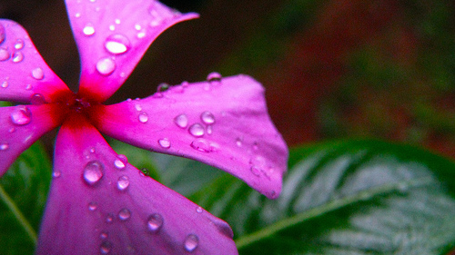
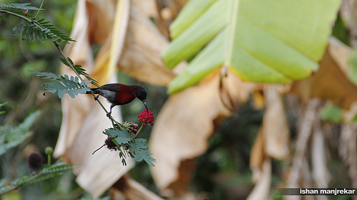
Pictures
Historical Weather
Related Locations
Information of geographic nature is based on public data provided by geonames.org, CIA world facts book, Unesco, DBpedia and wikipedia. Weather is based on NOAA GFS.