Discover Bortigiadas in Italy
Bortigiadas in the region of Sardinia with its 896 habitants is a town located in Italy - some 191 mi or ( 308 km ) West of Rome , the country's capital .
Local time in Bortigiadas is now 06:49 PM (Thursday) . The local timezone is named " Europe/Rome " with a UTC offset of 1 hours. Depending on your flexibility, these larger cities might be interesting for you: Terralba, Oristano, Marseille, Ajaccio, and Aix-en-Provence. When in this area, you might want to check out Terralba . We found some clip posted online . Scroll down to see the most favourite one or select the video collection in the navigation. Are you looking for some initial hints on what might be interesting in Bortigiadas ? We have collected some references on our attractions page.
Videos
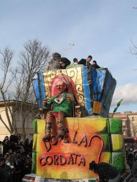
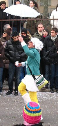
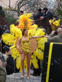
Carrasciali timpiesu 2010
Tutto il resto è noia ..
CASTELSARDO (Sardegna)
Castelsardo (en sassarés Caltheddu Saldhu, y en sardo Casteddu Sardu) es un municipio de Italia, situado en la región de Cerdeña y la provincia de Sassari. es.wikipedia.org ..
Sardinia - The Green Train - Train Trenino Verde
A trip on the Trenino Verde "The Green Train" across Sardinia from Tempio Pausania to Sant Antonio hauled by a 1959 Class LDe 500 diesel of the FdS (Ferrovie della Sardegna) in July 2009. This was an ..
2011-05-14 - Sardinien Film 1
Der erste Film vom ersten Tag auf Sardinien. Es ging von Olbia über gut 300km nach Alghero an der Ostküste. Hier sind Teile der SS 392 zwischen Tempio Paudania und Oschiri zu sehen, gefahren von Nord ..
Videos provided by Youtube are under the copyright of their owners.
Interesting facts about this location
Arboreto Mediterraneo del Limbara
The Arboreto Mediterraneo del Limbara (about 80 hectares) is an arboretum located within the Foresta Demaniale di Monte Limbara Sud, at Via Roma, 62, Sassari, Sardinia, Italy. The arboretum's mission is to collect and preserve species native to the Mediterranean region. It contains walking paths.
Located at 40.85 9.18 (Lat./Long.); Less than 12 km away
Mount Limbara
Mount Limbara is a rocky granitic massif in north-eastern Sardinia, Italy. It is located in the geographical and historical region of Gallura. Its highest peak is Punta Sa Berritta (1,362 m above sea level). Its area belongs to the comuni of Calangianus, Tempio Pausania, Berchidda and Oschiri, in the province of Olbia-Tempio.
Located at 40.85 9.18 (Lat./Long.); Less than 12 km away
Lake Coghinas
Lake Coghinas (Italian: Lago di Coghinas) is an artificial lake, in northern Sardinia, Italy, located between the provinces of Sassari and Olbia-Tempio. With a surface of 17.8 km² and a capacity of 254 millions cubic metres of water, it is the second largest lake in the region (second only to Lake Omodeo) and one of the major reservoirs in Italy. The dam, constructed under Fascism in 1924, is 185 metres long and 58 metres wide.
Located at 40.74 9.04 (Lat./Long.); Less than 17 km away
Pictures
Historical Weather
Related Locations
Information of geographic nature is based on public data provided by geonames.org, CIA world facts book, Unesco, DBpedia and wikipedia. Weather is based on NOAA GFS.


