
Explore Sevina in Mexico
Sevina in the region of Michoacán is a place in Mexico - some 176 mi or ( 283 km ) West of Mexico City , the country's capital city .
Time in Sevina is now 09:12 PM (Wednesday) . The local timezone is named " America/Mexico City " with a UTC offset of -6 hours. Depending on your budget, these more prominent locations might be interesting for you: Puebla, Mexico City, Zacatecas, Tingambato, and Tepic. Since you are here already, consider visiting Puebla . We saw some hobby film on the internet . Scroll down to see the most favourite one or select the video collection in the navigation. Where to go and what to see in Sevina ? We have collected some references on our attractions page.
Videos
Mexican voters 'threatened by drug cartel'
Mexican authorities have promised to ensure that next year's presidential elections are not undermined by drug-related violence. The pledge follows the release of an audio recording containing threats ..
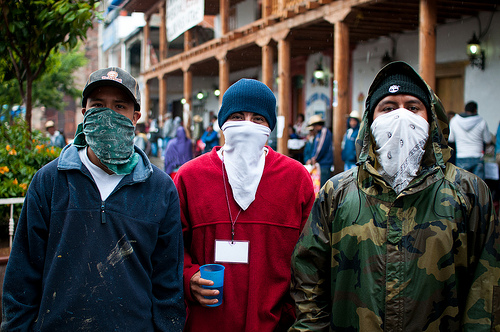
Narcotraficantes GTA MEXICO
Un saludo pa toda la raza de michoacan cabronees y al que no le paresca que se lo pique. grandtheftautomexico.blogspot.com grandtheftautomexico.blogspot.com ..
A week at an ecovillage in Michoacan, Mexico
January, 2010, A video blog for the Bosque Village in Michoacan Mexico. Various volunteers enjoy their wwoofing experience in a small ecovillage. ..
Erongaricuaro on February 14, 2011
Happy Valentine's Day! Drive on Baby, drive on. Potential expansion of programs into the Central Mexican Mountain Highlands. ..
Videos provided by Youtube are under the copyright of their owners.
Interesting facts about this location
Erongarícuaro
Erongarícuaro, which means "Place of waiting" in the Purepecha language, is a town in the Mexican state of Michoacán. It is located about an hour and a half drive to Morelia or Uruapan and just 20 minutes from the famous colonial town of Pátzcuaro. The estimated population is about 5,000 people.
Located at 19.58 -101.72 (Lat./Long.); Less than 12 km away
Cherán
The municipio of Cherán is located in the Mexican state of Michoacán, which is situated in the central western portion of the Republic of Mexico and extends to the Pacific Shore. Cherán, itself, lies in the northwestern portion of Michoacán about 200 miles due west of Mexico City and approximately 123 km west of the state capital of Morelia; it is about 2400 meters (7874 feet) above sea level.
Located at 19.68 -101.95 (Lat./Long.); Less than 15 km away
XEPUR-AM
XEPUR-AM (La Voz de los Purépechas; English: The Voice of the Purepechas) is an indigenous community radio station that broadcasts in Spanish and Purepecha from Cherán in the Mexican state of Michoacán. It is run by the Cultural Indigenist Broadcasting System (SRCI) of the National Commission for the Development of Indigenous Peoples (CDI). XEPUR is located in MexicoXEPURXEPUR Transmitter: {{#invoke:Coordinates|coord}}{{#coordinates:19|41|N|101|57|W||| | |name= }}
Located at 19.68 -101.95 (Lat./Long.); Less than 15 km away
Tingambato
Tingambato is a municipality in the north-central part of the Mexican state of Michoacán. Its municipal seat is the city of the same name. The municipality has an area of 188.77 square kilometres (0.32% of the surface of the state) and is bordered by the north by the municipalites of Nahuatzén and Erongarícuaro, to the east by Pátzcuaro and Salvador Escalante, to the south by Ziracuaretiro, and to the west by Uruapan.
Located at 19.50 -101.85 (Lat./Long.); Less than 15 km away
Tocuaro
Tocuaro is a small village near Lake Pátzcuaro in the Mexican state of Michoacán. {{#invoke:Coordinates|coord}}{{#coordinates:19.539|-101.694|type:city_region:MX|||||| |primary |name= }} 45px This article about a location in the Mexican state of Michoacán is a stub. You can help Wikipedia by expanding it. vte it is 340 km. from Mexico city.
Located at 19.54 -101.69 (Lat./Long.); Less than 17 km away
Pictures

Related Locations
Information of geographic nature is based on public data provided by geonames.org, CIA world facts book, Unesco, DBpedia and wikipedia. Weather is based on NOAA GFS.