
Explore Idzincab in Mexico
Idzincab in the region of Yucatán with its 5,013 inhabitants is a town in Mexico - some 620 mi or ( 998 km ) East of Mexico City , the country's capital city .
Current time in Idzincab is now 09:12 PM (Wednesday) . The local timezone is named " America/Merida " with a UTC offset of -6 hours. Depending on the availability of means of transportation, these more prominent locations might be interesting for you: Yaxnic, Xtepen, Villahermosa, Tixcacal, and Temozon. Since you are here already, make sure to check out Yaxnic . We saw some video on the web . Scroll down to see the most favourite one or select the video collection in the navigation. Where to go and what to see in Idzincab ? We have collected some references on our attractions page.
Videos
AeroUnion - Airbus A300F XA-TUE Margo
Video tomado el 26-Enero-2010 en Merida Yucatan ..
Turbonada en Mérida, Yuc. / Abril 2 de 2012
La tarde del 2 de abril de 2012 afectó a Mérida, Yucatán y demás municipios, una tormenta severa que provocó fuerte turbonada, como resultado de la formación de una vaguada sobre la parte oriente de l ..
Houses of Merida Special
Teaming up with Yucatan Living for a Grand Episode of "The Houses of Merida", we explore a fabulous work of art...Agent Eric Partney describes it as "a Hacienda in the heart of Centro"... ..
Eating Marquesitas in Merida
Comiendo marquesitas en el centro de merida. ..
Videos provided by Youtube are under the copyright of their owners.
Interesting facts about this location
Manuel Crescencio Rejón International Airport
Manuel Crescencio Rejón International Airport, formerly known as Mérida-Rejón Airport is an international airport located in the Mexican city of Mérida, Yucatán. It is located on the southern edge of the city and it's one of four airports in Mexico which has an Area Control Center (Centro Mérida/Mérida Center); the other ones being Mexico City International Airport, Monterrey International Airport and Mazatlán International Airport.
Located at 20.94 -89.66 (Lat./Long.); Less than 5 km away
Umán Municipality
The Municipality of Umán is one of the 106 municipalities in Yucatán state, Mexico. Its municipal seat is located in the City of Umán. Umán is located at {{#invoke:Coordinates|coord}}{{#coordinates:20|53|00|N|89|45|00|W|type:city(27,000) | |name= }}, just southwest of the state capital in Mérida, and is part of the Mérida metropolitan area. As of the census of 2005, the city of Umán had a population of 29,135 people, the seventh-largest community in the state in population.
Located at 20.88 -89.75 (Lat./Long.); Less than 6 km away
Mérida Cathedral
The Mérida Cathedral in Mérida, Yucatán, Mexico, is one of the oldest cathedrals in the Americas.
Located at 20.97 -89.62 (Lat./Long.); Less than 10 km away
Universidad Autónoma de Yucatán
The Universidad Autónoma de Yucatán (Autonomous University of Yucatan), or UADY, is an autonomous public university in the state of Yucatán, Mexico, with its central campuses located in the state capital of Mérida. It is the largest tertiary educational institution in the state, offering some 41 different courses at the undergraduate or Bachelor's degree (licenciatura) level, and 26 postgraduate Master's degrees (maestrías).
Located at 20.97 -89.62 (Lat./Long.); Less than 10 km away
Estadio De Béisbol Kukulkán
Estadio de Béisbol Kukulkán (Kukulkan Baseball Stadium) is a stadium in Mérida, Yucatán, Mexico. It is primarily used for baseball, and is the home field of the Leones de Yucatán (Yucatán Lions) Mexican League baseball team. It holds 13,600 people and was opened in 1982. The stadium is named for Kukulkán the Maya feathered serpent deity.
Located at 20.94 -89.60 (Lat./Long.); Less than 11 km away
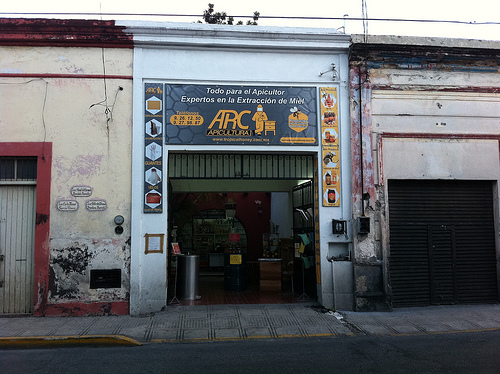
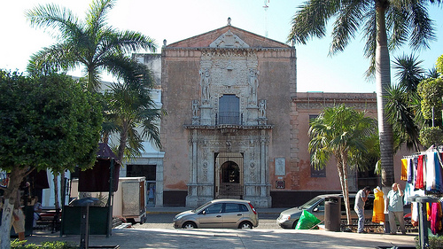
Pictures
Related Locations
Information of geographic nature is based on public data provided by geonames.org, CIA world facts book, Unesco, DBpedia and wikipedia. Weather is based on NOAA GFS.