
Explore Sao Vicente in Portugal
Sao Vicente in the region of Madeira with its 6,063 inhabitants is a place in Portugal - some 603 mi or ( 970 km ) South-West of Lisbon , the country's capital city .
Time in Sao Vicente is now 09:58 AM (Saturday) . The local timezone is named " Atlantic/Madeira " with a UTC offset of 0 hours. Depending on your budget, these more prominent locations might be interesting for you: Serra de Agua, Santana, Ribeira Funda, Ribeira Brava, and Porto Moniz. Since you are here already, consider visiting Serra de Agua . We saw some hobby film on the internet . Scroll down to see the most favourite one or select the video collection in the navigation. Where to go and what to see in Sao Vicente ? We have collected some references on our attractions page.
Videos
Madeira: Take Me To The Island.....
An impression of Madeira Island. Filmed september 2004. This was the second time we were on Madeira. I hope to be there this year too! I love Madeira very much. Some day, I will move to this beautiful ..
Madeira extreme roads - old tunnels
North old Madeira roads and old tunnel. Stare drogi polnocnej Madery i recznie wykuwany tunel ..
Marítimo 8-2 Bangor City - Golos
omaiordasilhas.blogs.sapo.pt ..
Madeira. Old road
From Sào Vicente to Seixal on the old northcoast road, also called The Donkey Road. ..
Videos provided by Youtube are under the copyright of their owners.
Interesting facts about this location
25 Fontes Falls
The 25 Fontes Falls (literally 25 Sources Falls) is a waterfall that is located in Serrado, Ribeira da Janela, near Porto Moniz in the Madeira Islands. This waterfall is 30 feet high forming a variety of drops of water coming down the rocks covered in small plants resulting in a small lagoon. It is involved in the primitive forest Laurisilva of Madeira, in the Macaronesia group os islands in the Atlantic Ocean. The Forest in this location is populated by large quantities of bay trees.
Located at 32.87 -17.17 (Lat./Long.); Less than 14 km away
Ribeira Brava (parish)
Ribeira Brava is the name of a parish in the west-central part of Madeira. It is located in the similarly named district of Ribeira Brava, Madeira It is located SW of Santana, W of Machico, W of Funchal and ESE of Calheta. It is linked with a road linking Calheta and Funchal.
Located at 32.67 -17.06 (Lat./Long.); Less than 14 km away
Tabua, Madeira
Tabua is a parish in the district of Ribeira Brava in the Madeira Islands. The population in 2001 is 1,105, its density is 99.5/km² and the area is 11.1 km². It is located W of Funchal and SE of Madeira. The main industry are agriculture. It is connected with a road linking Calheta and Funchal. The Atlantic Ocean is to the south. The mountains are to the north. The parish of Ponta do Sol borders to its west. Tabua is in a valley setting with a stream running just west of Tabua.
Located at 32.67 -17.08 (Lat./Long.); Less than 15 km away
São Roque do Faial
São Roque do Faial is a parish in the district of Santana in the Madeira Islands. The population in 2001 is 927, its density is 58.3/km² and the area is 15.9 km². São Roque do Faial is the third smallest in population, the third largest in density and the second smallest in area in Santana. It is located east of Santana and south of Faial. The main industry is agriculture. It is connected with a road linking Santana and Machico. The parish of Machico lies to the east.
Located at 32.77 -16.85 (Lat./Long.); Less than 18 km away
Madeira Tecnopolo
Madeira Tecnopolo is a Free Science Park in Funchal, Madeira, Portugal, {{#invoke:Coordinates|coord}}{{#coordinates:32|39|35|N|16|55|34|W| |primary |name= }}.
Located at 32.66 -16.93 (Lat./Long.); Less than 19 km away
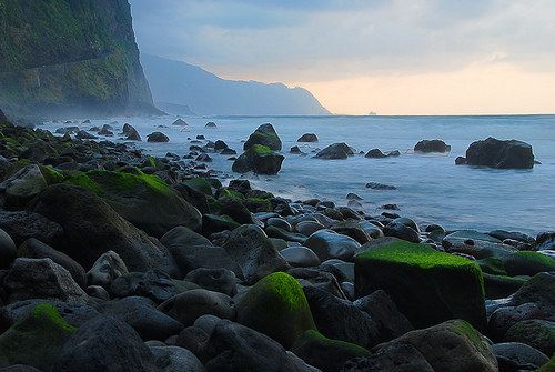
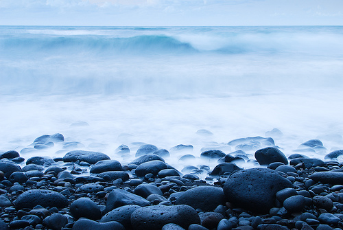
Pictures

Related Locations
Information of geographic nature is based on public data provided by geonames.org, CIA world facts book, Unesco, DBpedia and wikipedia. Weather is based on NOAA GFS.