
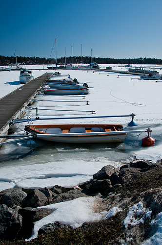
Explore Nynashamn in Sweden
Nynashamn in the region of Stockholm with its 13,616 inhabitants is a town in Sweden - some 30 mi or ( 48 km ) South of Stockholm , the country's capital city .
Current time in Nynashamn is now 10:40 AM (Wednesday) . The local timezone is named " Europe/Stockholm " with a UTC offset of 1 hours. Depending on the availability of means of transportation, these more prominent locations might be interesting for you: Liepāja, Klaipėda, Pori, Visby, and Uppsala. Since you are here already, make sure to check out Liepāja . We saw some video on the web . Scroll down to see the most favourite one or select the video collection in the navigation. Where to go and what to see in Nynashamn ? We have collected some references on our attractions page.
Videos
2009-07-01 SL X60 Nynäsgård station
An X60 trainset departs southbound from the Nynäsgård station enroute to the terminus at Nynäshamn. Directly behind the camera is the Nynäshamns Järnvägsmuseum ..
Stockholm - Nynäshamn 1 Hamnar
A high definition video (HDV) with stereo sound. To view in stereo and HD mode, append &fmt=22 to the end of the URL and press Enter. View in full screen mode. Background music: An asian melancholic m ..
2010 07 19 Boarding the Ferry to Gotland (Sweden)
On the way to Gotland. The kids were fantastic despite being dragged to the car so early in the morning. Gotland is an island in the Baltic Sea that is part of Sweden. There you'll find anything from ..
1998 08 02 Nynäshamn Harbor (Sweden)
Smelled the ocean, and it was GOOD. ..
Videos provided by Youtube are under the copyright of their owners.
Interesting facts about this location
Nynäshamns Ångbryggeri
Nynäshamns Ångbryggeri is a Swedish microbrewery located in Nynäshamn. The first beer brewed was Bedarö bitter. All beers are named after geographical places in the Nynäshamn archipelago. 5 of the brews are currently available at the Systembolaget through the order segment.
Located at 58.90 17.95 (Lat./Long.); Less than 0 km away
Nynäshamn Municipality
Nynäshamn Municipality (Nynäshamns kommun) is a municipality in Stockholm County in east central Sweden. Its seat is located in the city of Nynäshamn. In 1974 the former City of Nynäshamn (itself instituted in 1946) was merged with Ösmo, from which it had been detached as a market town in 1911 and Sorunda, all in the Södertörn peninsula and adjacent islands.
Located at 58.90 17.95 (Lat./Long.); Less than 0 km away
Draget Canal
Draget Canal is a Swedish canal in the province of Södermanland.
Located at 58.85 17.89 (Lat./Long.); Less than 7 km away
Muskö naval base
Muskö naval base is a Swedish underground naval facility on the island of Muskö just south of Stockholm in Haninge Municipality (Haninge Kommun). The construction of the base started in 1950 and was completed 19 years later in 1969. During the construction about 1.5 million tons of rock was removed. It has 3 docks, originally designed for destroyers and submarines. The underground base itself has an area of several km² and is connected by 20 km of underground roads.
Located at 58.98 18.06 (Lat./Long.); Less than 11 km away
Södertörn
Södertörn is a roughly triangular peninsula in eastern Södermanland, Sweden, which is bordered by: Lake Mälaren and the inlet of Saltsjön (a part of Baltic Sea) to the north, Himmerfjärden and Hallsfjärden (parts of Baltic Sea) to the west and The Baltic Sea to the east and the south. However, even though the peninsula is typically thought of as part of the Swedish mainland, its connection to the mainland is broken by the Södertälje Canal, and it can actually be called an island.
Located at 59.02 17.89 (Lat./Long.); Less than 13 km away
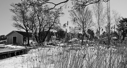
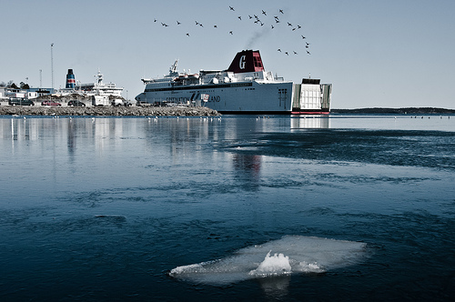
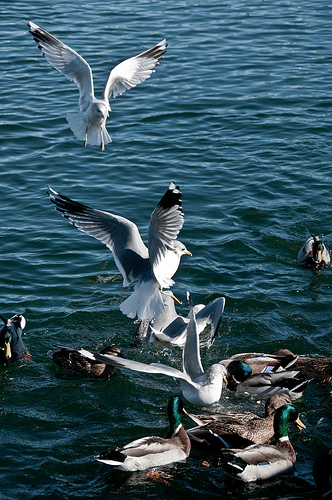
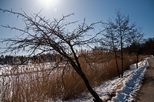
Pictures


Historical Weather
Related Locations
Information of geographic nature is based on public data provided by geonames.org, CIA world facts book, Unesco, DBpedia and wikipedia. Weather is based on NOAA GFS.