-
You are here:
- Homepage »
- Switzerland »
- Obwalden » Lungern

Lungern Destination Guide
Touring Lungern in Switzerland
Lungern in the region of Obwalden with its 1,921 citizens is located in Switzerland - some 35 mi or ( 57 km ) East of Berne , the country's capital city .
Time in Lungern is now 01:42 PM (Friday) . The local timezone is named " Europe/Zurich " with a UTC offset of 1 hours. Depending on your budget, these more prominent places might be interesting for you: Zurich, Sarnen, Sachseln, Kerns, and Kaiserstuhl. Being here already, consider visiting Zurich . We collected some hobby film on the internet . Scroll down to see the most favourite one or select the video collection in the navigation. Check out our recommendations for Lungern ? We have collected some references on our attractions page.
Videos
Los geht's!
Schweizer Tourismus Werbung vom Feinsten ..
Driving in Switzerland: Brünig Pass Switzerland
Driving from Interlaken to Luzern over the Brünig Pass (1008M. This pass connects the Bernese Oberland with Central Switzerland. Nice Roads, Very good Driving Sense. Extremely safe to drive in Switzer ..
Street Triple R onboard (with ATC 5K)
Street Triple R onboard (with ATC 5K) kleines Türchen zur Einweihung der Kamera:D Leider hat man die Music gesperrt, so machen die ersten Sekunden die im Zeitraffer sind keinen Sinn mehr:P (sollte pas ..
Switzerland, Alps above Grindelwald
Our last day in Switzerland we hike to the Bachalpsee, an alpine lake at 7200 ft. It has been a wonderful trip to Northern Italy and Switzerland. ..
Videos provided by Youtube are under the copyright of their owners.
Interesting facts about this location
Lungern railway station
Lungern is a Swiss railway station on the Brünig line, owned by the Zentralbahn, that links Interlaken and Lucerne. The station is located in the municipality of Lungern and the canton of Obwalden. The station is served by the following passenger trains:
Located at 46.79 8.16 (Lat./Long.); Less than 0 km away
Lake Lungern
Lake Lungern (German: Lungerersee, also spelled Lungernsee or Lungerensee) is a small natural lake in Obwalden, Switzerland which is named after the town Lungern on its shore. The lake is drained by the Sarner Aa river, which flows through the Sarnersee and into Lake Lucerne. The lake was originally much larger, and covered a large part of the valley it is situated in. Starting in 1836, its level was lowered by 36 metres through an artificial drainage tunnel of 380 m length.
Located at 46.80 8.16 (Lat./Long.); Less than 2 km away
Kaiserstuhl OW railway station
Kaiserstuhl OW is a Swiss railway station on the Brünig line, owned by the Zentralbahn, that links Interlaken and Lucerne. The station is located by the hamlet of Kaiserstuhl, in the municipality of Lungern and the canton of Obwalden. The station is served by the following passenger trains: The station should not be confused with Kaiserstuhl AG station, on the Winterthur to Koblenz line in the canton of Aargau.
Located at 46.81 8.18 (Lat./Long.); Less than 3 km away
Brünig-Hasliberg railway station
Brünig-Hasliberg is a Swiss railway station located at the highest point of the Brünig Pass, on the Brünig line, owned by the Zentralbahn, that links Interlaken and Lucerne. The station takes its name from the name of the pass, and the resort area of Hasliberg, which lies to its east. Politically, the station is in the municipality of Meiringen in the canton of Bern, albeit 5 km horizontally and 400 m vertically from the village centre.
Located at 46.76 8.14 (Lat./Long.); Less than 4 km away
Sarner Aa
The Sarner Aa is a 28 km long river in the Swiss canton of Obwalden. It drains the area to the eastern side of the Brünig Pass, flowing through the Lake Lungern, Lake Sarnen and the Wichelsee, before entering Lake Lucerne near Alpnach. It goes by several names over its length, being known as the Lauibach upstream of the Lungerersee, and the Aa or Aawasser between the Lungerersee and Lake Sarnen.
Located at 46.78 8.10 (Lat./Long.); Less than 5 km away
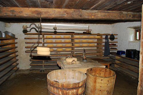
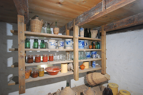
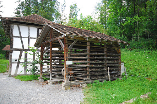
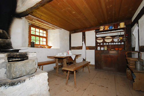
Pictures
Historical Weather
Related Locations
Information of geographic nature is based on public data provided by geonames.org, CIA world facts book, Unesco, DBpedia and wikipedia. Weather is based on NOAA GFS.