-
You are here:
- Homepage »
- United Kingdom »
- England » Flexbury

Flexbury Destination Guide
Explore Flexbury in United Kingdom
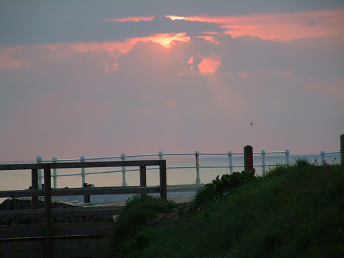
Flexbury in the region of England with its 2,287 inhabitants is a town in United Kingdom - some 197 mi or ( 317 km ) West of London , the country's capital city .
Current time in Flexbury is now 12:47 AM (Saturday) . The local timezone is named " Europe/London " with a UTC offset of 0 hours. Depending on the availability of means of transportation, these more prominent locations might be interesting for you: Welcombe, Week Saint Mary, Warbstow, Truro, and Torquay. Since you are here already, make sure to check out Welcombe . We saw some video on the web . Scroll down to see the most favourite one or select the video collection in the navigation. Where to go and what to see in Flexbury ? We have collected some references on our attractions page.
Videos
Bude
Bude, Cornwall - a film by Breakwater Holidays. Holiday cottages in Bude in North Cornwall. ..
bude cornwall 08 part 1
summerlaze beach and a look around the town ..
bude cornwall 08 part 2
cliff views to campsite then back to heartland hotel ..
bude cornwall 92 part 2
bude cornwall coast cliffs sea beach and canal 92 ..
Videos provided by Youtube are under the copyright of their owners.
Interesting facts about this location
Maer, Cornwall
Maer is a coastal hamlet in north Cornwall, United Kingdom. It is situated one mile (1.6 km) northeast of Bude at grid reference SS 205 075 in the civil parish of Bude-Stratton. The National Trust maintains Maer Down and Maer Cliff immediately west of the hamlet. The South West Coast Path runs along the clifftop past Maer.
Located at 50.84 -4.55 (Lat./Long.); Less than 1 km away
Bude Canal
The Bude Canal was a canal built to serve the hilly hinterland in the Devon and Cornwall border territory in the United Kingdom, chiefly to bring lime-bearing sand for agricultural fertiliser. The Bude Canal system was one of the most unusual in Britain. It was remarkable in using inclined planes to haul tub boats on wheels to the upper levels. There were only two conventional locks, in the short broad canal section near the sea at Bude itself.
Located at 50.83 -4.55 (Lat./Long.); Less than 1 km away
Poughill
Poughill (pronounced "Pofil" or "Puffil") is a hamlet in north-east Cornwall, England, United Kingdom. It is located one mile north of Bude .
Located at 50.84 -4.53 (Lat./Long.); Less than 1 km away
Bude–Stratton
Bude-Stratton is a coastal civil parish with a town council in Cornwall, England, United Kingdom. According to the 2001 census it had a population of 9,242. Away from the coast, much of the parish is rural in character but it also encompasses the sizeable urban areas of Bude and Stratton. Other settlements include Poughill (formerly a separate parish), Bush, Flexbury, Lynstone, Maer, Northcott, Thorne and Upton.
Located at 50.83 -4.52 (Lat./Long.); Less than 2 km away
Stratton, Cornwall
See also: Battle of Stratton 1643 Stratton is a small town situated near the coastal resort of Bude in north Cornwall, England, UK. It was also the name of one of ten ancient administrative shires of Cornwall - see "Hundreds of Cornwall". A battle of the English civil war took place here on 16 May 1643. A local saying at Stratton is "Stratton was a market town when Bude was just a furzy down", meaning Stratton was long established when Bude was just gorse-covered downland.
Located at 50.83 -4.52 (Lat./Long.); Less than 2 km away
Pictures

Related Locations


Information of geographic nature is based on public data provided by geonames.org, CIA world facts book, Unesco, DBpedia and wikipedia. Weather is based on NOAA GFS.