-
You are here:
- Homepage »
- United States »
- California » Arnold

Arnold Destination Guide
Touring Arnold in United States
Arnold in the region of California with its 3,843 citizens is located in United States - some 2,318 mi or ( 3730 km ) West of Washington , the country's capital city .
Time in Arnold is now 07:47 AM (Monday) . The local timezone is named " America/Los Angeles " with a UTC offset of -7 hours. Depending on your budget, these more prominent places might be interesting for you: Hanford Hill, Sheep Ranch, Bakersfield, Douglas Flat, and Forest Meadows. Being here already, consider visiting Hanford Hill . We collected some hobby film on the internet . Scroll down to see the most favourite one or select the video collection in the navigation. Check out our recommendations for Arnold ? We have collected some references on our attractions page.
Videos
Jaide Jumping From a Waterfall
My gorgeous girlfriend got her nerve up to jump from our waterfall lounge area. ..
March 1 2012 Rainey to Meadow
Recorded on March 1, 2012 ..
Angels Camp, CA Trip with family Video Part 4
In this 4th video, shows our first morning, and the drive to Calavaras Big Trees State Park ..
Dec 13 2012 Blue Lake Springs
Recorded on December 13, 2012 ..
Videos provided by Youtube are under the copyright of their owners.
Interesting facts about this location
Grizzly Ridge, California
Grizzly Ridge is an unincorporated community in Calaveras County, California. It lies at an elevation of 4301 feet (1311 m).
Located at 38.26 -120.34 (Lat./Long.); Less than 1 km away
Sierra Nevada Logging Museum
The Sierra Nevada Logging Museum is a museum dedicated to preserving the history of logging in the Sierra Nevada Mountains region. The museum is located on California State Route 4 in the Stanislaus National Forest, near Arnold, in Calaveras County, California, United States.
Located at 38.27 -120.34 (Lat./Long.); Less than 1 km away
Blue Lake Junction, California
Blue Lake Junction is an unincorporated community in Calaveras County, California. It lies at an elevation of 4101 feet (1250 m).
Located at 38.26 -120.33 (Lat./Long.); Less than 2 km away
Blue Lake Springs, California
Blue Lake Springs is an unincorporated community in Calaveras County, California. It lies at an elevation of 4114 feet (1254 m).
Located at 38.26 -120.32 (Lat./Long.); Less than 2 km away
Lakemont Pines, California
Lakemont Pines is an unincorporated community in Calaveras County, California. It lies at an elevation of 3786 feet (1154 m).
Located at 38.24 -120.37 (Lat./Long.); Less than 3 km away
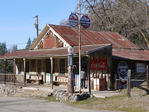
Pictures
Related Locations
Information of geographic nature is based on public data provided by geonames.org, CIA world facts book, Unesco, DBpedia and wikipedia. Weather is based on NOAA GFS.