-
You are here:
- Homepage »
- United States »
- California » Kelseyville

Kelseyville Destination Guide
Explore Kelseyville in United States
Kelseyville in the region of California with its 3,353 inhabitants is a town in United States - some 2,435 mi or ( 3918 km ) West of Washington , the country's capital city .
Current time in Kelseyville is now 02:04 AM (Friday) . The local timezone is named " America/Los Angeles " with a UTC offset of -7 hours. Depending on the availability of means of transportation, these more prominent locations might be interesting for you: Buckingham Park, Clear Lake Riviera, Cobb, Fairfield, and Fresno. Since you are here already, make sure to check out Buckingham Park . We encountered some video on the web . Scroll down to see the most favourite one or select the video collection in the navigation. Where to go and what to see in Kelseyville ? We have collected some references on our attractions page.
Videos
Biolite Stove - Realtime test (LED light, Droidx Charge, and 32oz Water boil)
This is my first test of the biolite stove. It converts heat to electricity. USB power out put is 2-4w, very close to what your pc does, so charge times on devices should be the same as what you are u ..
Cardboard-Duct Tape Boat Races 2012
A fun annual tradition where racers compete in a slalom using boats only made with cardboard and duct tape. Shot in Lakeport, CA on Clear Lake in Lake County on Independence Day, 2012 ..
The armored lizard
Rescue of an armored lizard warrior.... ..
PDL VIDEO
Panaramic View from Deck of Perla del Lago ..
Videos provided by Youtube are under the copyright of their owners.
Interesting facts about this location
Lampson Field
Lampson Field is a public airport located three miles (4.8 km) south of the town of Lakeport, in Lake County, California, USA. Features of the airport include 4.0 degree Precision Approach Path Indicator (PAPI) lights on runway 28, Pilot Controlled Lighting and an Automated Weather Observing System. The airport covers 68 acres and has one runway.
Located at 38.99 -122.90 (Lat./Long.); Less than 6 km away
Clear Lake Volcanic Field
The Clear Lake Volcanic Field is a volcanic field beside Clear Lake in California's northern Coast Ranges. The site of late-Pliocene to early Holocene activity, the volcanic field consists of lava domes, cinder cones, and maars with eruptive products varying from basalt to rhyolite. Cobb Mountain and Mount Konocti are the two highest peaks in the volcanic field, at 4,724 feet and 4,285 feet respectively.
Located at 38.97 -122.77 (Lat./Long.); Less than 6 km away
KXBX (AM)
KXBX is a radio station broadcasting an Adult Standards/MOR format. Licensed to Lakeport, California, USA, the station is currently owned by Bicoastal Media Licenses, LLC and features programing from CNN Radio and Dial Global.
Located at 39.01 -122.89 (Lat./Long.); Less than 6 km away
KPFZ-FM
KPFZ-FM is an FM radio station that broadcasts a community radio format to Lakeport, California.
Located at 38.99 -122.77 (Lat./Long.); Less than 6 km away
Big Valley Rancheria
The Big Valley Band of Pomo Indians of the Big Valley Rancheria is a federally recognized tribe of Pomo and Pit River Indians, with a reservation located in Lake County, California, near the town of Finley. They conduct tribal business from Lakeport, California. The tribe formed its current governmental system under the Indian Reorganization Act of 1935 and ratified its constitution on 15 January 1936.
Located at 39.02 -122.89 (Lat./Long.); Less than 6 km away
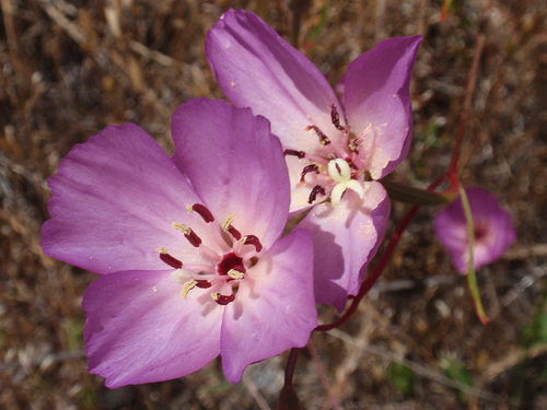
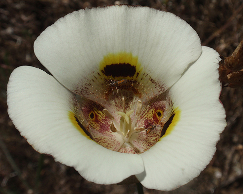
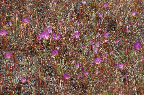
Pictures

Related Locations
Information of geographic nature is based on public data provided by geonames.org, CIA world facts book, Unesco, DBpedia and wikipedia. Weather is based on NOAA GFS.