-
You are here:
- Homepage »
- United States »
- Massachusetts » Athol

Athol Destination Guide
Explore Athol in United States
Athol in the region of Massachusetts with its 8,265 inhabitants is a town in United States - some 359 mi or ( 577 km ) North-East of Washington , the country's capital city .
Current time in Athol is now 11:07 PM (Sunday) . The local timezone is named " America/New York " with a UTC offset of -4 hours. Depending on the availability of means of transportation, these more prominent locations might be interesting for you: Philadelphia, Hartford, Baldwinville, Boston, and Dedham. Since you are here already, make sure to check out Philadelphia . We saw some video on the web . Scroll down to see the most favourite one or select the video collection in the navigation. Where to go and what to see in Athol ? We have collected some references on our attractions page.
Videos
Athol Market Basket announcement
The announcement of a new Market Basket supermarket that will be built in Athol. ..
The Atholl Highlanders lead the Athol High School Class of 2012 at their graduation
The Atholl Highlanders, Europe's only private army, leads the Athol High School Class of 2012 onto the school's football field before the start of commencement. ..
The Atholl Highlanders perform a mini-tattoo in the LS Starrett Co. parking lot Part 1
The Atholl Highlanders perform a mini-tattoo in the LS Starrett Co. parking lot. ..
Athol Public Library Shopping Cart Parade
Volunteers used shopping carts donated by Hannaford supermarket to transport materials from the Childrens' Room of the Athol Public Library to the new temporary location at the Athol Senior Center dur ..
Videos provided by Youtube are under the copyright of their owners.
Interesting facts about this location
Athol (CDP), Massachusetts
Athol is a census-designated place (CDP) in the town of Athol in Worcester County, Massachusetts, United States. The population was 8,265 at the 2010 census.
Located at 42.59 -72.23 (Lat./Long.); Less than 1 km away
Mount Grace Land Conservation Trust
Mount Grace Land Conservation Trust, incorporated in 1986, is a non-profit organization whose mission is the conservation of woodland and agricultural land in north central and western Massachusetts. Based out of Athol, Massachusetts, the MGLCT is named after Mount Grace, a neaby monadnock. As of December 2007, the trust had protected over "21,000 acres through the completion of over 200 projects."
Located at 42.62 -72.22 (Lat./Long.); Less than 3 km away
WTUB
WTUB (700 AM, "ESPN Radio 700 AM") is a radio station licensed to serve Orange-Athol, Massachusetts, USA. The station is owned by County Broadcasting Company, LLC, a subsidiary of Northeast Broadcasting, itself controlled by Steve Silberberg. It airs a sports radio format provided by ESPN Radio.
Located at 42.58 -72.28 (Lat./Long.); Less than 5 km away
Tully Lake
Tully Lake, of Royalston, Massachusetts, is a 1,262-acre reservoir and flood control project constructed by the United States Army Corps of Engineers (USACE) in 1949 for 1.6 million dollars. The project prevents flooding of the greater Connecticut River and Millers River valleys and provides a variety of recreational opportunities, including a campground operated by The Trustees of Reservations. Tully Lake is an important link in the 22-mile Tully Trail.
Located at 42.64 -72.22 (Lat./Long.); Less than 5 km away
Orange Municipal Airport
Orange Municipal Airport, in Orange, Massachusetts, is a public airport owned by Town of Orange. It has two runways, averages 137 flights per day, and has approximately 52 aircraft based on its field. Flight training and parachuting services are available.
Located at 42.57 -72.29 (Lat./Long.); Less than 6 km away
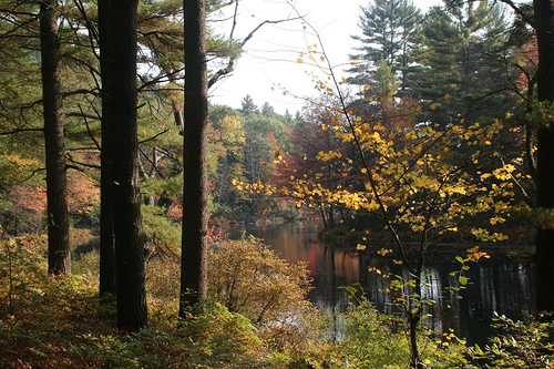
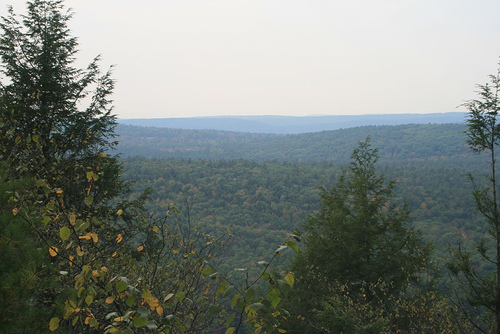
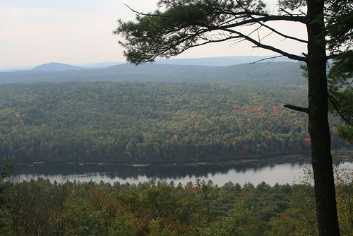
Pictures


Related Locations
Information of geographic nature is based on public data provided by geonames.org, CIA world facts book, Unesco, DBpedia and wikipedia. Weather is based on NOAA GFS.