-
You are here:
- Homepage »
- United States »
- Massachusetts » Holden

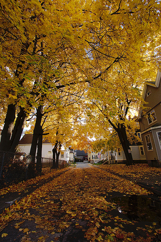
Holden Destination Guide
Explore Holden in United States
Holden in the region of Massachusetts with its 17,016 inhabitants is a place in United States - some 361 mi or ( 581 km ) North-East of Washington , the country's capital city .
Time in Holden is now 07:54 PM (Thursday) . The local timezone is named " America/New York " with a UTC offset of -4 hours. Depending on your budget, these more prominent locations might be interesting for you: Philadelphia, Hartford, Auburn, Boston, and Dawson. Since you are here already, consider visiting Philadelphia . We saw some hobby film on the internet . Scroll down to see the most favourite one or select the video collection in the navigation. Where to go and what to see in Holden ? We have collected some references on our attractions page.
Videos
Take off!
View from the left-seat in a Cessna 172 departing runway 34 Sterling Airport. Shot on a Kodak Zi8 The mountain in the background is Mt. Wachusett - the middle 'step' to the left is the site of the new ..
Palomar Printing-BurncoatHS
Burncoat high School chorus singing in preparation for concert with Kenny Rogers and spreading holiday cheer. ..
Kevin Brown Ironman
Kevin Brown Talks about his IronMan journey and how its been life changing. Check out www.ironmanjourney.net ..
Tatnuck Arms Apartments For Rent - Worcester, MA
Worcester apartments - Tatnuck Arms apartments for rent in Worcester, MA. Get into the swing of things! Call 877.234.9138 or Visit www.apartments.com for apartment prices, pictures, videos, floorplans ..
Videos provided by Youtube are under the copyright of their owners.
Interesting facts about this location
Wachusett Regional High School
Wachusett Regional High School (abbv. WRHS) is located in Holden, Massachusetts and services the Wachusett Regional School District. Founded in 1955, WRSD comprises Holden, Paxton, Princeton, Rutland, and Sterling. William Beando was appointed principal as of July 1, 2007, succeeding the one year interim service of longtime principal Hal Lane, who had retired in 1993. The assistant principals are Catherine Knowles, Andrew Costa, Anthony DiBenedetto, Victoria DeSimone, and Drew Weymouth.
Located at 42.35 -71.87 (Lat./Long.); Less than 1 km away
Worcester County, Massachusetts
Worcester County is a county located in the U.S. state of Massachusetts. The largest city and traditional county seat is the city of Worcester. The county population was 798,552 at the 2010 census. Worcester and its environs are now considered part of the Boston metropolitan area; as recently as 1990, when the towns were more reliant on Worcester than Boston, they constituted the Worcester MSA.
Located at 42.35 -71.91 (Lat./Long.); Less than 4 km away
WTAG
WTAG is an AM radio station broadcasting on 580 kHz from transmitters in Holden, Massachusetts. WTAG's studios are in Paxton, Massachusetts. WTAG is licensed to Worcester, Massachusetts. WTAG programming is also simulcast on FM translator W235AV at 94.9 MHz, licensed to Tatnuck, Massachusetts. http://www. wtag. com/pages/history. html WTAG is operated by Clear Channel Communications.
Located at 42.34 -71.82 (Lat./Long.); Less than 4 km away
Anna Maria College
Anna Maria College (AMC) is a coeducational Catholic liberal arts college in Paxton, Massachusetts.
Located at 42.33 -71.92 (Lat./Long.); Less than 5 km away
WSRS
WSRS is an American commercial radio station broadcasting on 96.1 FM. The station is licensed to Worcester, Massachusetts, and is owned by Clear Channel Communications. WSRS offers an adult contemporary music format focusing on the hits of the 1980s and 1990s. The station also mixes in occasional 1970s and 1960s big hits. The station also employs a moderate amount of current product.
Located at 42.31 -71.90 (Lat./Long.); Less than 6 km away
Pictures
Related Locations
Information of geographic nature is based on public data provided by geonames.org, CIA world facts book, Unesco, DBpedia and wikipedia. Weather is based on NOAA GFS.