-
You are here:
- Homepage »
- United States »
- Pennsylvania » Rouzerville

Rouzerville Destination Guide
Delve into Rouzerville in United States
Rouzerville in the region of Pennsylvania with its 917 residents is located in United States - some 64 mi or ( 103 km ) North-West of Washington , the country's capital .
Local time in Rouzerville is now 02:29 PM (Saturday) . The local timezone is named " America/New York " with a UTC offset of -4 hours. Depending on your mobility, these larger destinations might be interesting for you: Washington, Baltimore, Cavetown, Smithsburg, and Thurmont. While being here, you might want to check out Washington . We discovered some clip posted online . Scroll down to see the most favourite one or select the video collection in the navigation. Are you curious about the possible sightseeing spots and facts in Rouzerville ? We have collected some references on our attractions page.
Videos
beats and stuff - kevin yost
more live looping on the fly...... ..
WAYNESBORO PA 01
EAST MAIN STREET South side of the street traveling East ..
Appalachian Trail 2010 - Maryland - Part 2
at-trail.blogspot.com Photos from a 2010 section hike from Harpers Ferry, WV through Maryland. Part 2 covers Annapolis Rocks north to Caledonia State Park, PA. ..
High Rock Near Pen Mar, MD
Footage taken on the the AP Trail on "High Rock", near Pen Mar, MD. ..
Videos provided by Youtube are under the copyright of their owners.
Interesting facts about this location
Rouzerville, Pennsylvania
Rouzerville is a census-designated place (CDP) in Franklin County, Pennsylvania, United States. The population was 917 at the 2010 census.
Located at 39.73 -77.52 (Lat./Long.); Less than 1 km away
Wayne Heights, Pennsylvania
Wayne Heights is a census-designated place (CDP) in Franklin County, Pennsylvania, United States. The population was 2,545 at the 2010 census.
Located at 39.74 -77.55 (Lat./Long.); Less than 1 km away
Pen Mar, Maryland
Pen Mar is an unincorporated village in Washington County, Maryland, and Franklin County, Pennsylvania, United States. It is one of the border towns in the United States with a portmanteau name. Pen Mar came to prominence in the 20th century due to the construction of Pen Mar Park by the Western Maryland Railroad. The construction of the Pen Mar resort caused the area to become a destination for many people.
Located at 39.72 -77.51 (Lat./Long.); Less than 3 km away
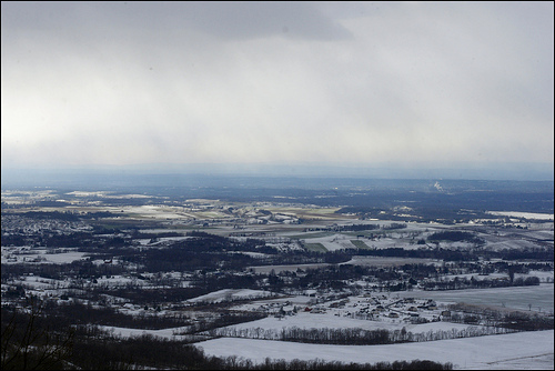
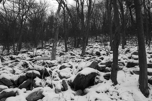
South Mountain (Maryland and Pennsylvania)
South Mountain is the northern extension of the Blue Ridge Mountain range in Maryland and Pennsylvania. From the Potomac River near Knoxville, Maryland in the south, to Dillsburg, Pennsylvania in the north, the 70-mile long range separates the Hagerstown and Cumberland valleys from the Piedmont regions of the two states. The Appalachian National Scenic Trail follows the crest of the mountain through Maryland and part of its portion in Pennsylvania.
Located at 39.72 -77.49 (Lat./Long.); Less than 4 km away
Highfield-Cascade, Maryland
Highfield-Cascade is a census-designated place (CDP) in Washington County, Maryland, United States. The population was 1,141 at the 2000 census.
Located at 39.72 -77.49 (Lat./Long.); Less than 4 km away
Pictures
Related Locations
Information of geographic nature is based on public data provided by geonames.org, CIA world facts book, Unesco, DBpedia and wikipedia. Weather is based on NOAA GFS.