-
You are here:
- Homepage »
- United States »
- Virginia » Sherando

Sherando Destination Guide
Explore Sherando in United States
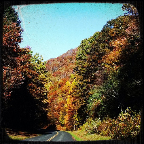
Sherando in the region of Virginia with its 688 inhabitants is a town in United States - some 121 mi or ( 195 km ) South-West of Washington , the country's capital city .
Current time in Sherando is now 02:05 PM (Thursday) . The local timezone is named " America/New York " with a UTC offset of -4 hours. Depending on the availability of means of transportation, these more prominent locations might be interesting for you: Tyro, Philadelphia, Afton, Beech Grove, and Charlottesville. Since you are here already, make sure to check out Tyro . We encountered some video on the web . Scroll down to see the most favourite one or select the video collection in the navigation. Where to go and what to see in Sherando ? We have collected some references on our attractions page.
Videos
Waldo - Appalachian Trail Virginia backpack trip 2009
77 mile section hike from the James River near Glascow to Waynesboro Virginia. ..
Rain
making rain acapella ..
10 pt. Buck / Blue Ridge Mountains, Virginia
I came upon this 10 point buck while hiking in the Blue Ridge Mountains near Vesuvio, Virginia. Luckily for him I was hunting with my camera that day instead of my Remington .243 deer rifle. He seemed ..
Hiking Humpback Rock with Our Little Girl; Blue Ridge Parkway, VA
One of the most popular hikes along the Blue Ridge Parkway is the trail up to Humpback Rock, a unique geological formation with great views of both sides of the mountains. Possibly the best time to vi ..
Videos provided by Youtube are under the copyright of their owners.
Interesting facts about this location
Sherando, Virginia
Sherando is a census-designated place (CDP) in Augusta County, Virginia, United States. The population was 665 at the 2000 census. It is part of the Staunton–Waynesboro Micropolitan Statistical Area.
Located at 37.99 -78.95 (Lat./Long.); Less than 1 km away
Lyndhurst, Virginia
Lyndhurst is a census-designated place (CDP) in Augusta County, Virginia, United States. The population was 1,527 at the 2000 census. It is part of the Staunton–Waynesboro Micropolitan Statistical Area.
Located at 38.03 -78.95 (Lat./Long.); Less than 5 km away
Humpback Rock
Humpback Rock is a massive greenstone outcrop near the peak of Humpback Mountain with a summit elevation of 3,080 feet . The rock is so named for the visual effect of a "hump" it creates on the western face of the mountain. Humpback Rocks, along with a well maintained trail and visitors' center, are located in the Blue Ridge Mountains near Waynesboro, Virginia in Augusta County and Nelson County.
Located at 37.96 -78.90 (Lat./Long.); Less than 5 km away
Shenandoah Acres
Shenandoah Acres was a resort in Stuarts Draft, Virginia that billed itself as "America's Finest Inland Beach. " The Acres closed in 2004 and was subsequently purchased by Goodfaith LLC. The most visible aspect of Shenandoah Acres was its small, spring-fed lake that was unique for its use of playground equipment in the water. Shenandoah Acres also featured 250 camp sites, 35 cabins, horseback riding, miniature golf, and tennis courts.
Located at 38.00 -79.03 (Lat./Long.); Less than 7 km away
South River (South Fork Shenandoah River)
The South River is one of the two main tributaries of the South Fork of the Shenandoah River. It begins south of Staunton, Virginia, and flows northward to Port Republic, where it merges with the North River to form the South Fork. The river is 52.6 miles long.
Located at 38.02 -79.03 (Lat./Long.); Less than 8 km away
Pictures
Related Locations
Information of geographic nature is based on public data provided by geonames.org, CIA world facts book, Unesco, DBpedia and wikipedia. Weather is based on NOAA GFS.