
Explore Sassafras in Australia
Sassafras in the region of Victoria is a town in Australia - some 275 mi or ( 443 km ) South-West of Canberra , the country's capital city .
Current time in Sassafras is now 01:22 AM (Wednesday) . The local timezone is named " Australia/Melbourne " with a UTC offset of 11 hours. Depending on the availability of means of transportation, these more prominent locations might be interesting for you: Wonga Park, Warrandyte South, Warrandyte, Upwey, and Sassafras. Since you are here already, make sure to check out Wonga Park . We saw some video on the web . Scroll down to see the most favourite one or select the video collection in the navigation. Where to go and what to see in Sassafras ? We have collected some references on our attractions page.
Videos
Tree Cutting and Tree lopping with Boom truck cherry picker
www.acetree.com.au dropping a big tree head out at 45m high in a boom truck cherry picker by tree arborist. This Video demonstrates felling trees with different tree felling techniques and cutting dow ..
GRANT'S PICNIC GROUND, KALLISTA
Presenting Grant's Picnic Ground at Kallista, within the Dandenong Ranges National Park in Melbourne, Australia. LINKS: www.grantsonsherbrooke.com.au www.parkweb.vic.gov.au MUSIC IS COURTESY OF YOUTUB ..
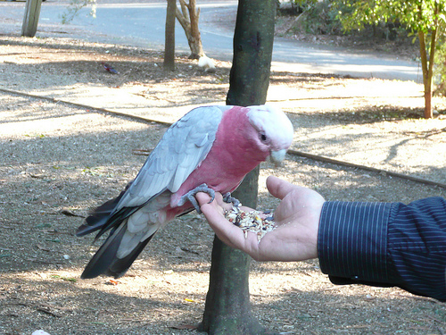
Carlos jugando con Cacatuas
Alimentando a unas cacatuas salvajes en un parque natural de Melbourne ..
SHERBROOKE FALLS
Presenting Sherbrooke Falls at Sherbrooke in Melbourne, Australia. LINKS: www.parkweb.vic.gov.au www.parkweb.vic.gov.au MUSIC IS COURTESY OF YOUTUBE AUDIOSWAP. THIS VIDEO IS COPYRIGHT © 2010 77AUSSIE. ..
Videos provided by Youtube are under the copyright of their owners.
Interesting facts about this location
Sassafras, Victoria
Sassafras is a locality and township within Greater Melbourne beyond the Melbourne metropolitan area Urban Growth Boundary, 43 km east of Melbourne's central business district. Its local government area is the Shire of Yarra Ranges. At the 2006 Census, Sassafras had a population of 968. It is located at an altitude of approximately 500 metres, near the top of the ridgeline of the Dandenong Ranges, a few kilometres south of the highest peak of Mount Dandenong.
Located at -37.87 145.35 (Lat./Long.); Less than 1 km away
Olinda, Victoria
Olinda is a suburb in Melbourne, Victoria, Australia, 36 km east of Melbourne's central business district. Its local government area is the Shire of Yarra Ranges. At the 2006 Census, Olinda had a population of 1568.
Located at -37.86 145.36 (Lat./Long.); Less than 2 km away
Ferny Creek, Victoria
Ferny Creek is a suburb in Melbourne, Victoria, Australia, 33 km south-east of Melbourne's central business district. Its Local Government Area is the Shire of Yarra Ranges. At the 2006 Census, Ferny Creek had a population of 1536. The suburb is built around and to the south of Dunns Hill (height 561m) with most of Ferny Creek lying between 400 and 500 metres above sea level.
Located at -37.88 145.34 (Lat./Long.); Less than 2 km away
Sherbrooke, Victoria
Sherbrooke is a settlement in Victoria, Australia, 35 km east of Melbourne. Its local government area is the Shire of Yarra Ranges. At the 2006 census, Sherbrooke had a population of 196. Permanent European settlement began with the building by a retired sea-captain, Robert W. Graham, of a log hut,, hand-cut from the forest, using horizontal-slab wall construction, an adobe floor, weatherboards and a sapling/shingle roof.
Located at -37.88 145.36 (Lat./Long.); Less than 2 km away
Kallista, Victoria
Kallista is a locality within Greater Melbourne beyond the Melbourne metropolitan area Urban Growth Boundary, 36 km south-east from Melbourne's central business district. Its local government area is the Shire of Yarra Ranges. At the 2006 Census, Kallista had a population of 1032.
Located at -37.88 145.37 (Lat./Long.); Less than 3 km away
Pictures
Historical Weather
Related Locations
Information of geographic nature is based on public data provided by geonames.org, CIA world facts book, Unesco, DBpedia and wikipedia. Weather is based on NOAA GFS.