-
You are here:
- Homepage »
- United Kingdom »
- England » Allhallows

Allhallows Destination Guide
Explore Allhallows in United Kingdom
Allhallows in the region of England with its 1,686 inhabitants is a town in United Kingdom - some 33 mi or ( 53 km ) East of London , the country's capital city .
Current time in Allhallows is now 02:43 AM (Wednesday) . The local timezone is named " Europe/London " with a UTC offset of 0 hours. Depending on the availability of means of transportation, these more prominent locations might be interesting for you: Upchurch, South Benfleet, Sheerness, Rochester, and Rayleigh. Since you are here already, make sure to check out Upchurch . We saw some video on the web . Scroll down to see the most favourite one or select the video collection in the navigation. Where to go and what to see in Allhallows ? We have collected some references on our attractions page.
Videos
Around Britain: Part 1
The first leg of a journey around Britain in a 21ft sailing boat. River Thames, in London, to the River Crouch, in Essex. ..
Thorney Bay Caravan Park Canvey Island
This is the second Video on Canvey Island, err just look at it and make your own mind up... ..
Keepturningleft.co.uk 14 2008 the raid on the Medway
www.keepturningleft.co.uk - the second and third years of my journey around the Uk are available at the website. Four hours of great small boat sailing for $4.99 - the price of a city centre cup of co ..
goulding guitar demo
Dave Wallings of holiday Music demoes goulding guitar ..
Videos provided by Youtube are under the copyright of their owners.
Interesting facts about this location
Slough Fort
Slough Fort is a small seven-gun Royal Commission fort built on the Thames, Kent to the west of the entrance to the Medway near Allhallows-on-Sea. It is intact and being used as riding school stable. It was built in 1867 as an arc of seven granite faced casemates. The seven 7in rifled breech loaders were designed to impede shipping on the Thames.
Located at 51.48 0.65 (Lat./Long.); Less than 1 km away
A228 road
The A228 road is an important transport artery in Kent, England. It begins at the Isle of Grain and runs in a south-westerly direction to connect eventually with the A21 trunk road at Pembury. It serves existing communities and new and proposed housing developments and commercial enterprises. The most influential force on the recent upgrading of the road has been the development of Kings Hill near West Malling.
Located at 51.45 0.64 (Lat./Long.); Less than 2 km away
London Stone (riparian)
London Stone is the name given to a number of boundary stones which stand beside the rivers Thames and Medway, which formerly marked the limits of jurisdiction of the City of London.
Located at 51.48 0.68 (Lat./Long.); Less than 3 km away
London Thamesport
London Thamesport is a container seaport on the River Medway, serving the North Sea. It is located on the Isle of Grain, in the Medway unitary authority district of the English county of Kent. The area was formerly called Port Victoria.
Located at 51.44 0.69 (Lat./Long.); Less than 4 km away
Thames Estuary
The Thames Estuary is the estuary in which the River Thames meets the waters of the North Sea. It is not easy to define the limits of the estuary, although physically the head of Sea Reach, near Canvey Island on the Essex shore is probably the western boundary. The eastern boundary, as suggested in a Hydrological Survey of 1882-9, is a line drawn from North Foreland in Kent via the Kentish Knock lighthouse to Harwich in Essex. It is to here that the typical estuarine sandbanks extend.
Located at 51.50 0.58 (Lat./Long.); Less than 5 km away
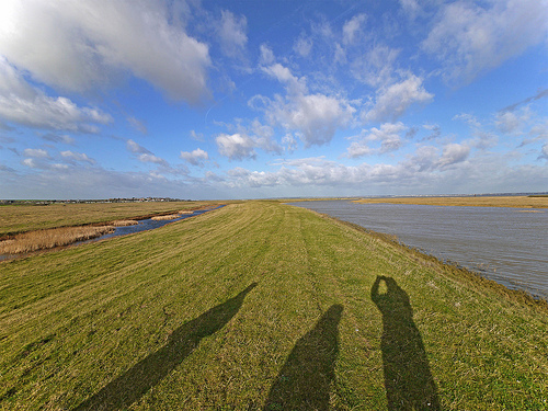
Pictures
Historical Weather
Related Locations
Information of geographic nature is based on public data provided by geonames.org, CIA world facts book, Unesco, DBpedia and wikipedia. Weather is based on NOAA GFS.