-
You are here:
- Homepage »
- United Kingdom »
- Scotland » Fort Augustus

Fort Augustus Destination Guide
Delve into Fort Augustus in United Kingdom
Fort Augustus in the region of Scotland with its 499 residents is located in United Kingdom - some 430 mi or ( 692 km ) North-West of London , the country's capital .
Local time in Fort Augustus is now 12:57 PM (Sunday) . The local timezone is named " Europe/London " with a UTC offset of 0 hours. Depending on your mobility, these larger destinations might be interesting for you: Wester Inverwick, Stirling, Sheffield, Perth, and Melgarve. While being here, you might want to check out Wester Inverwick . We discovered some clip posted online . Scroll down to see the most favourite one or select the video collection in the navigation. Are you curious about the possible sightseeing spots and facts in Fort Augustus ? We have collected some references on our attractions page.
Videos
Hairy Coo Highlands Tour
A free tour through the Highlands of Scotland Sights include: Red/Forth Bridge, Wallace Monument, Stirling Castle, Lake Menteith, Lochs, Hairy Coos, and Doune Castle. Music: The Celtic Highlands, Laug ..
Videos provided by Youtube are under the copyright of their owners.
Interesting facts about this location
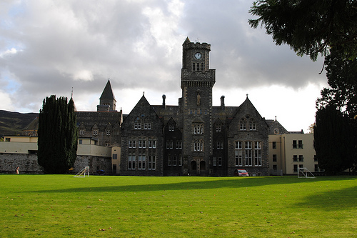
Fort Augustus Abbey
Fort Augustus Abbey, properly St. Benedict's Abbey, at Fort Augustus, Inverness-shire, Scotland, was a Benedictine monastery, from late in the nineteenth century to 1998.
Located at 57.15 -4.68 (Lat./Long.); Less than 0 km away
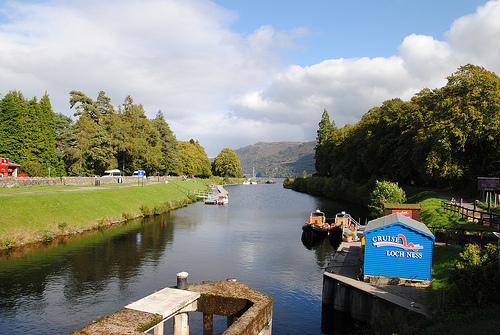
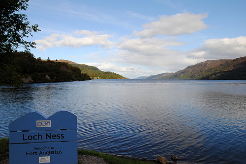
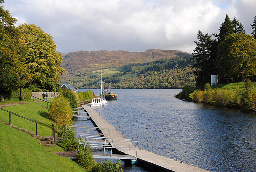
Cherry Island (Loch Ness)
Cherry Island (Scottish Gaelic: Eilean Muireach, meaning Murdoch's Island) is the only island in Loch Ness, Highland, Scotland, and is an example of a crannog. The island is about 150 yards from the shore near the southern end of the loch. The island was originally 160 feet by 168 feet across, but is now smaller as the level of the loch was raised when it became part of the Caledonian Canal.
Located at 57.15 -4.67 (Lat./Long.); Less than 1 km away
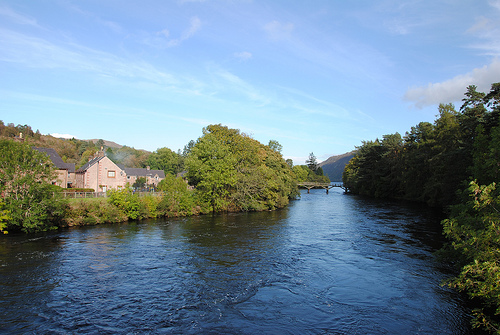
River Tarff, Fort Augustus
Not to be confused with the Tarf Water which is a tributary of the Tay, nor either the Tarf Water or Tarff Water, both in Galloway. The River Tarff is a river in Inverness-shire in the Scottish Highlands. It rises between the hills of Gairbeinn and Geal Charn and flows northwards then southwestwards and finally north-northwestwards into the Great Glen where it enters Loch Ness at Fort Augustus. The middle and lower reaches of the river are confined within the gorge of Glen Tarff.
Located at 57.13 -4.67 (Lat./Long.); Less than 1 km away
Scottish Highlands
The Highlands are a historic region of Scotland. The area is sometimes referred to as the "Scottish Highlands. " It was culturally distinguishable from the Lowlands from the later Middle Ages into the modern period, when Lowland Scots replaced Scottish Gaelic throughout most of the Lowlands. The term is also used for the area north and west of the Highland Boundary Fault, although the exact boundaries are not clearly defined, particularly to the east.
Located at 57.12 -4.71 (Lat./Long.); Less than 3 km away
Culachy Falls
Culachy Falls is a waterfall of Scotland.
Located at 57.11 -4.68 (Lat./Long.); Less than 3 km away
Pictures

Related Locations
Information of geographic nature is based on public data provided by geonames.org, CIA world facts book, Unesco, DBpedia and wikipedia. Weather is based on NOAA GFS.