-
You are here:
- Homepage »
- United States »
- California » Kenwood

Kenwood Destination Guide
Explore Kenwood in United States
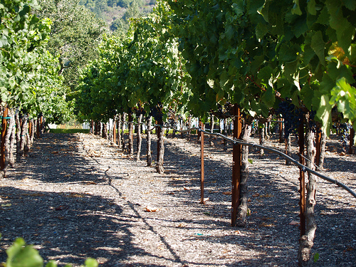
Kenwood in the region of California with its 1,028 inhabitants is a town in United States - some 2,430 mi or ( 3910 km ) West of Washington , the country's capital city .
Current time in Kenwood is now 01:04 PM (Tuesday) . The local timezone is named " America/Los Angeles " with a UTC offset of -7 hours. Depending on the availability of means of transportation, these more prominent locations might be interesting for you: Los Guilicos, Bakersfield, Boyes Hot Springs, Deer Park, and El Verano. Since you are here already, make sure to check out Los Guilicos . We encountered some video on the web . Scroll down to see the most favourite one or select the video collection in the navigation. Where to go and what to see in Kenwood ? We have collected some references on our attractions page.
Videos
Kunde Mountain Top Tasting
Coming in May 2010, experience the most impressive and unique wine tasting venue in Napa and Sonoma Valley. The Kunde Mountain Top Tasting gives you unparalleled views of 30 miles of the Sonoma Valley ..
Sonoma County -- There's a Map for That
If you're looking for a fun, little winery that no one knows about, there's a map for that. And for spas. And for restaurants. And more. Sonoma - there's a map for that. ..
SoCooL Double Decker Lanes Golf 'N Bowl (Golf And Bowling)
www.doubledeckerlanes.com http ..
NCC Wine Country Cruise June 2,2012
NCC, aka NorCalChallengers were kind enough to invite me to their wine cruise through friendships made at SF7. This is just a quick walk through after parking along the main entrance of Ledson Winery, ..
Videos provided by Youtube are under the copyright of their owners.
Interesting facts about this location
Ledson Marsh
Ledson Marsh is a 30-acre freshwater marsh in Annadel State Park east of Santa Rosa in Sonoma County, California, United States. Located on the east flank of Bennett Mountain, it drains into Schultz Creek, a tributary of Yulupa Creek. The marsh was formed by an earthen embankment dam about 300 feet long, constructed in 1930 by a former landowner. The dam is about 6 feet high and 4 feet wide at its crest.
Located at 38.41 -122.60 (Lat./Long.); Less than 5 km away
Sugarloaf Ridge State Park
Sugarloaf Ridge State Park is a state park in Northern California, U.S.A.. Located in the Mayacamas Mountains north of Kenwood, the park straddles the boundary between Sonoma and Napa counties. The park contains the 2,729 feet Bald Mountain and the headwaters of Sonoma Creek including a 25-foot tall seasonal waterfall. The park is also home to the volunteer-run Robert Ferguson Observatory.
Located at 38.44 -122.50 (Lat./Long.); Less than 5 km away
Quarryhill Botanical Garden
The Quarryhill Botanical Garden is a research botanical garden housing one of the largest collections of temperate Asian plants in North America. Quarryhill is located near Glen Ellen, in the Sonoma Valley of California, USA, and is open to the public. The garden is devoted to plants from temperate China, Japan and the Himalayas, with more than 90 percent grown from wild-collected, scientifically documented seed.
Located at 38.37 -122.51 (Lat./Long.); Less than 5 km away
Bald Mountain (California)
Bald Mountain is a name given to over fifty summits in California. In Sugarloaf Ridge State Park there are two Bald Mountain summits, both located on the Sonoma-Napa County border: The northern one, at {{#invoke:Coordinates|coord}}{{#coordinates:38|27|27|N|122|30|34|W|type:mountain_region:US-CA | |name=218589 }}, rises to an elevation of 2,730 ft .
Located at 38.46 -122.51 (Lat./Long.); Less than 6 km away
Sonoma Mountain Zen Center
Sonoma Mountain Zen Center (or, Genjoji) is a Soto Zen practice center located on 80 acres in the mountainous region of Sonoma County in California—near Santa Rosa—carrying on the tradition and lineage of Shunryu Suzuki. Founded by Jakusho Kwong and his wife Laura Kwong in 1973, Kwong-roshi is the current guiding teacher of the Zen center.
Located at 38.37 -122.58 (Lat./Long.); Less than 6 km away
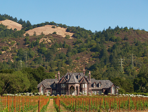
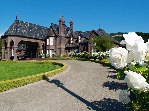
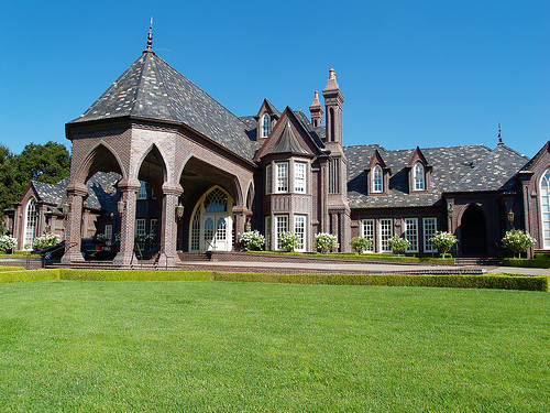
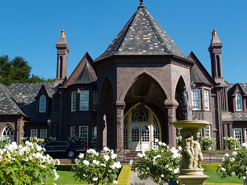
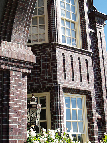
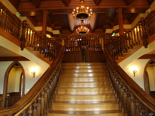
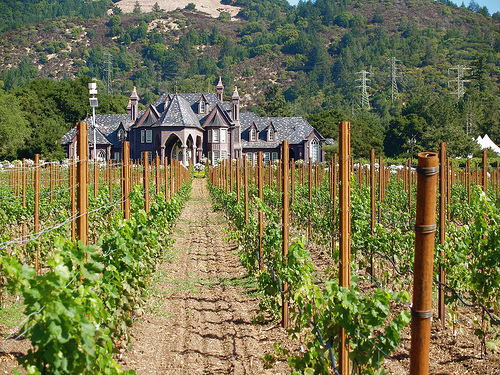
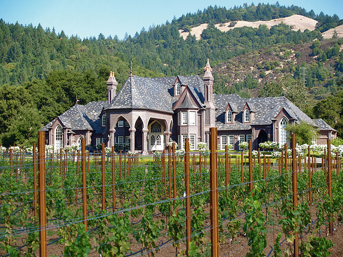
Pictures
Related Locations
Information of geographic nature is based on public data provided by geonames.org, CIA world facts book, Unesco, DBpedia and wikipedia. Weather is based on NOAA GFS.