-
You are here:
- Homepage »
- United States »
- California » Moss Beach

Moss Beach Destination Guide
Delve into Moss Beach in United States
Moss Beach in the region of California with its 3,103 residents is a city in United States - some 2,445 mi or ( 3934 km ) West of Washington , the country's capital .
Current time in Moss Beach is now 04:45 AM (Sunday) . The local timezone is named " America/Los Angeles " with a UTC offset of -7 hours. Depending on your travel modalities, these larger destinations might be interesting for you: Bakersfield, Burlingame, El Granada Mobile Home Park, Fresno, and Half Moon Bay. While being here, make sure to check out Bakersfield . We encountered some video on the web . Scroll down to see the most favourite one or select the video collection in the navigation. Are you curious about the possible sightseeing spots and facts in Moss Beach ? We have collected some references on our attractions page.
Videos
Montara Wedding Location - Weddings by the Sea
Montara State Beach wedding ceremony location is north of Half Moon Bay and South of Pacifica California. www.weddingsbythesea.com ..
Wave Runners
The girls in the waves of the Pacific ..
Moss beach distillery
Moss beach distillery ..
The SCM Rockfishing Trip
Most of the folks from Safety Compliance Management went on a summer rockfishing trip on the Queen of Hearts. There were a couple green faces by the end, but everyone caught at least a few fish. One r ..
Videos provided by Youtube are under the copyright of their owners.
Interesting facts about this location
San Vicente Creek (San Mateo County)
San Vicente Creek (Spanish for "St. Vincent") is a 3.9-mile-long coastal stream in northern California which flows entirely within San Mateo County and discharges to the Pacific Ocean. Its waters rise on the west facing slopes of the Montara Mountain, block and its mouth is at the unincorporated community of Moss Beach, within the Fitzgerald Marine Reserve.
Located at 37.52 -122.52 (Lat./Long.); Less than 1 km away
Moss Beach Distillery
Moss Beach Distillery is a restaurant in Moss Beach, California, located on a cliff which overlooks the Pacific Ocean. It is officially designated as a California Point of Historical Interest. Originally established in 1927 as a speakeasy, it converted into a successful restaurant after the repeal of Prohibition in 1933.
Located at 37.52 -122.51 (Lat./Long.); Less than 1 km away
Montara, California
Montara is a census-designated place (CDP) in San Mateo County, California, United States. The population was 2,909 at the 2010 census. Nearby communities include Moss Beach and Princeton-by-the-Sea.
Located at 37.54 -122.51 (Lat./Long.); Less than 2 km away
Fitzgerald Marine Reserve
Fitzgerald Marine Reserve is a marine reserve in California on the Pacific Ocean, located just north of Pillar Point Harbor and Mavericks in the San Mateo County community of Moss Beach. Moss Beach is located approximately 20 miles south of San Francisco and 50 miles north of Santa Cruz. The reserve is a 32-acre holding which extends from Montara light station at the north to Pillar Point on the south.
Located at 37.51 -122.51 (Lat./Long.); Less than 2 km away
Half Moon Bay Airport
Half Moon Bay Airport is a county-owned public use airport in San Mateo County, California, United States. It is located five nautical miles (9 km) northwest of the central business district of Half Moon Bay, California. The airport is on the Pacific Coast, south of San Francisco.
Located at 37.51 -122.50 (Lat./Long.); Less than 2 km away
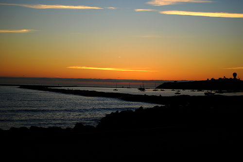
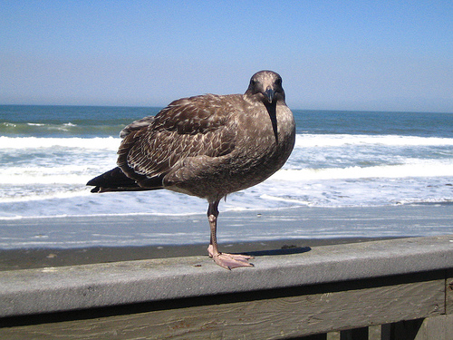
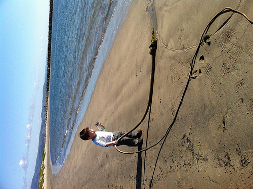
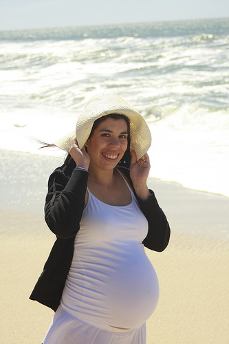
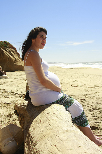
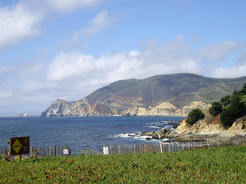
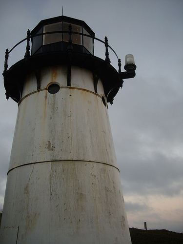
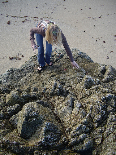
Pictures


Related Locations
Information of geographic nature is based on public data provided by geonames.org, CIA world facts book, Unesco, DBpedia and wikipedia. Weather is based on NOAA GFS.