-
You are here:
- Homepage »
- Australia »
- South Australia » Noarlunga

Noarlunga Destination Guide
Explore Noarlunga in Australia
Noarlunga in the region of South Australia with its 2,975 inhabitants is a town in Australia - some 600 mi or ( 965 km ) West of Canberra , the country's capital city .
Current time in Noarlunga is now 06:56 PM (Tuesday) . The local timezone is named " Australia/Adelaide " with a UTC offset of 10.5 hours. Depending on the availability of means of transportation, these more prominent locations might be interesting for you: Reynella, Port Willunga, McLaren Flat, Marino, and Happy Valley. Since you are here already, make sure to check out Reynella . We encountered some video on the web . Scroll down to see the most favourite one or select the video collection in the navigation. Where to go and what to see in Noarlunga ? We have collected some references on our attractions page.
Videos
Mulloway (Onky Monster)
**Updated Information** Mulloway caught in an estuary south of Adelaide (February, 2009), 105cm caught on bream gear ... Caution: Contains heavy bent rod action, Line peeling screams and also frequent ..
Open Surf Boat Final - 1982 Australian Surf Life Saving Championships, Moana SA
City of Perth Surf Life Saving Club Open Surf Boat Final - 1982 Australian Surf Life Saving Championships, Moana SA ..
Ride home - Tour Down Under 2011 Stage 5 (Part 2 of 2)
Lots of cyclists riding home towards the city from the 5th stage of the Tour Down Under 2011. Amongst the bunch were pros from Lampre, a couple from Radioshack and a few others. The Lampre team car di ..
Environmental Science students at the Onkaparinga River - University of South Australia
On their second day of activities, UniSA Environmental Science students go on a field trip to the Onkaparinga River and Estuary. This field-trip is designed to engage students through experiential lea ..
Videos provided by Youtube are under the copyright of their owners.
Interesting facts about this location
Old Noarlunga, South Australia
Old Noarlunga is a small town approximately 40 minutes drive south of Adelaide, South Australia. Originally settled around 1840, the town retains its village atmosphere in spite of encroaching suburbia. At the 2006 census, Old Noarlunga had a population of 1,252.
Located at -35.18 138.50 (Lat./Long.); Less than 0 km away
Seaford, South Australia
Seaford is a metropolitan suburb of Adelaide, South Australia. It lies within the City of Onkaparinga.
Located at -35.19 138.48 (Lat./Long.); Less than 2 km away
Moana, South Australia
Moana is a coastal suburb in the south of Adelaide, South Australia. It lies within the City of Onkaparinga local government area, and neighbours the suburbs Seaford, Maslin Beach, and Seaford Rise.
Located at -35.20 138.47 (Lat./Long.); Less than 3 km away
Onkaparinga River
The Onkaparinga River runs from its source between Mount Torrens and Charleston in the Mount Lofty Ranges, and flows south westerly to an estuary at Port Noarlunga. The catchment is over 500 km² in area, and is in part located in the Onkaparinga River National Park. The Onkaparinga River is the second major river of the Adelaide region, after the River Torrens. The name derives from the Indigenous Kaurna name Ngangiparri which translates as "The Women's River".
Located at -35.17 138.47 (Lat./Long.); Less than 4 km away
Division of Kingston
The Division of Kingston is an Australian Electoral Division in South Australia covering the far-south portion of the Adelaide metropolitan area. The division was first proclaimed in 1949. The division is named after Charles Cameron Kingston, a Premier of South Australia (1893-1899), elected to the first House of Representatives in 1901 and the first Federal member of the Division of Adelaide in 1903. The Liberals and Labor have both alternated for long spells in the seat.
Located at -35.20 138.54 (Lat./Long.); Less than 4 km away
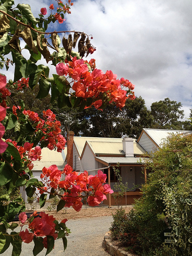
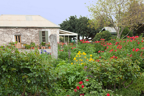
Pictures


Historical Weather
Related Locations
Information of geographic nature is based on public data provided by geonames.org, CIA world facts book, Unesco, DBpedia and wikipedia. Weather is based on NOAA GFS.