
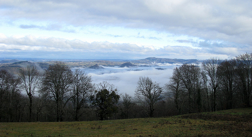
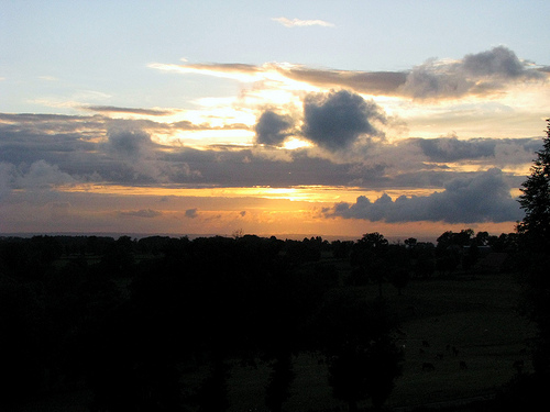
Discover Anglards-de-Salers in France
Anglards-de-Salers in the region of Auvergne with its 764 habitants is a town located in France - some 251 mi or ( 404 km ) South of Paris , the country's capital .
Local time in Anglards-de-Salers is now 11:31 AM (Saturday) . The local timezone is named " Europe/Paris " with a UTC offset of 1 hours. Depending on your flexibility, these larger cities might be interesting for you: Ydes, Veysset, Saint-Cernin, Rodez, and Pons. When in this area, you might want to check out Ydes . We found some clip posted online . Scroll down to see the most favourite one or select the video collection in the navigation. Are you looking for some initial hints on what might be interesting in Anglards-de-Salers ? We have collected some references on our attractions page.
Videos
SALERS Les plus Beaux Villages de France
Images & Voyages présente : Dans la série les Plus beaux villages de France - SALERS - Joli village du Cantal au pied des Monts d'Auvergne et une petite balade au Puy Mary. ..
20090806 001 Disco VVF Vendes (Francais)
The French way ..
20090807 002 VVF Vendes Le Spectacle
Great fun! ..
20090807 001 VVF Vendes Le Spectacle
Great fun! ..
Videos provided by Youtube are under the copyright of their owners.
Interesting facts about this location
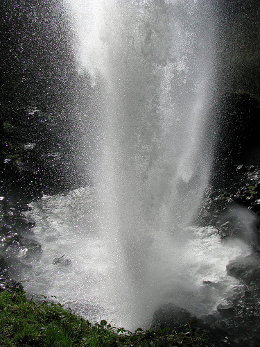
Maronne
The Maronne is a 92.6 km long river in the Cantal and Corrèze départements, in south central France. Its source is several small streams joining near Récusset,a hamlet in Saint-Paul-de-Salers. It flows generally west. It is a left tributary of the Dordogne into which it flows between Argentat and Monceaux-sur-Dordogne.
Located at 45.14 2.60 (Lat./Long.); Less than 14 km away
Château de Branzac
The Château de Branzac is a ruined 15th century castle in the commune of Pleaux in the Cantal département of France. Being a massive keep with corner towers, the castle is a picturesque ruin on the end of a promontory. The castle was built as a manor house or hunting lodge in the 15th century. It was built as a long rectangle with four floors, two rooms per floor. In the centre of the main façade is a tower with a staircase and, on the opposite side, two round corner towers.
Located at 45.11 2.32 (Lat./Long.); Less than 15 km away
Château d'Anjony
The Château d'Anjony (Occitan: Chastèl d'En Jòni) is a castle in Tournemire in the Cantal département of France.
Located at 45.05 2.48 (Lat./Long.); Less than 18 km away
Le Lioran
Le Lioran is a small mountain resort in the heart of continental France. It consists of the original settlement of Le Lioran in the valley bottom as well as the settlements of Prairie de Sagnes, Font d'Alagon, Font de Cère, and Prat du Bouc, all of which are geared towards the mountain tourism market. One of the few remaining resorts in central France, it has grown to become one of the biggest and most advanced resorts in the Massif Central.
Located at 45.05 2.45 (Lat./Long.); Less than 19 km away
Pictures
Historical Weather
Related Locations
Information of geographic nature is based on public data provided by geonames.org, CIA world facts book, Unesco, DBpedia and wikipedia. Weather is based on NOAA GFS.