
Discover Chanonat in France
Chanonat in the region of Auvergne with its 1,487 habitants is a place located in France - some 221 mi or ( 356 km ) South of Paris , the country's capital .
Local time in Chanonat is now 06:37 PM (Wednesday) . The local timezone is named " Europe/Paris " with a UTC offset of 1 hours. Depending on your mobility, these larger cities might be interesting for you: Saulzet-le-Chaud, Roanne, Paris, Moulins, and Montluçon. When in this area, you might want to check out Saulzet-le-Chaud . We discovered some clip posted online . Scroll down to see the most favourite one or select the video collection in the navigation. Are you looking for some initial hints on what might be interesting in Chanonat ? We have collected some references on our attractions page.
Videos
19 Août / August 2011 - Spectacle équestre Mario Luraschi un mois avant Excalibur
On a eu l'opportunité de voir une répétition / entrainement Spectacle équestre par des cascadeurs (Romain Vergnaud, Lionel Dufourcq et Steve Jullian) de Mario Luraschi au Haras de Prat, un mois avant ..
TES4 Oblivion Les Reliques de Valknar Trailer00 FR
Le trailer du mod "Les Reliques de Valknar" // The trailer of the mod "The Valknar's relics" ..
Cervolix - Les Avions Racers
Course d'avion autour du plateau de Gergovie Vidéo: Choisy Dominique Musique: Bruxelles - BOY OF THE 90's Montage: Pinte Emmanuel ..
Le vol du Craken (saison 2 / partie 1)
Envol du plus long cerf-volant du monde au festival 2004 CERVOLIX ..
Videos provided by Youtube are under the copyright of their owners.
Interesting facts about this location
Battle of Gergovia
The Battle of Gergovia took place in 52 BC in Gaul at Gergovia, the chief oppidum (fortified town) of the Arverni. The battle was fought between a Roman Republic army, led by proconsul Julius Caesar, and Gallic forces led by Vercingetorix. The Gauls won the battle. The site is identified with Merdogne, now called Gergovie, a village located on a hill within the town of La Roche-Blanche, near Clermont-Ferrand, in south central France.
Located at 45.71 3.13 (Lat./Long.); Less than 3 km away
Gergovie plateau
The Gergovie plateau is a plateau of the Massif Central located 10km to the south of Clermont-Ferrand, Puy-de-Dôme, Auvergne, France and is named after the nearby village of Gergovie. It is the official (but disputed) site of the Battle of Gergovia between Vercingetorix and Julius Caesar in 52 BC.
Located at 45.72 3.12 (Lat./Long.); Less than 4 km away
Gergovie
Gergovie is a French village in the commune of La Roche-Blanche in the Puy-de-Dôme département, a few kilometres south of Clermont-Ferrand. It is situated at the foot of the Gergovie plateau, the official but disputed site of the Battle of Gergovia, where — near to the Arverni oppidum of Nemossos (a sacred wood, in Gaulish) — the Arverni and other Gallic tribes gathered under Vercingetorix's command to fight the Roman legions of Julius Caesar in 52 BC.
Located at 45.72 3.13 (Lat./Long.); Less than 4 km away
Randol Abbey
Randol Abbey (Abbaye Notre-Dame de Randol) is a Benedictine monastery situated at Randol near the village of Saint-Saturnin, Puy-de-Dôme department, in the Auvergne mountains of France. It was founded in 1971 as a priory of Fontgombault Abbey and was raised to the status of an independent abbey on 21 March 1981. The monastery building was constructed at the time of foundation in a striking contemporary style in a spectacular mountainside location.
Located at 45.64 3.07 (Lat./Long.); Less than 6 km away
Charade Circuit
The Charade Circuit (also known as Circuit Louis Rosier and Circuit Clermont-Ferrand) is a motorsport race track in the Auvergne mountains in France near Clermont-Ferrand, the home of Michelin and Patrick Depailler. Built in 1958 around the sides of an extinct volcano, the originally 8.055 km (5.005-mi) long Charade was described as an even twistier and faster version of the Nürburgring.
Located at 45.75 3.04 (Lat./Long.); Less than 7 km away
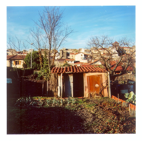
Pictures
Historical Weather
Related Locations
Information of geographic nature is based on public data provided by geonames.org, CIA world facts book, Unesco, DBpedia and wikipedia. Weather is based on NOAA GFS.