-
You are here:
- Homepage »
- France »
- Basse-Normandie » Demouville

Demouville Destination Guide
Touring Demouville in France
Demouville in the region of Basse-Normandie with its 3,238 citizens is a city located in France - some 121 mi or ( 194 km ) West of Paris , the country's capital city .
Time in Demouville is now 09:43 PM (Saturday) . The local timezone is named " Europe/Paris " with a UTC offset of 1 hours. Depending on your travel resources, these more prominent places might be interesting for you: London, Cambridge, Bristol, Birmingham, and Troarn. Being here already, consider visiting London . We collected some hobby film on the internet . Scroll down to see the most favourite one or select the video collection in the navigation. Check out our recommendations for Demouville ? We have collected some references on our attractions page.
Videos
WARSTORY - Europe in Flames | Tutorial | Reisen | Travelling
How do I start a travel in "WARSTORY - Europe in Flames"? Wie starte ich eine Reise in "WARSTORY - Europe in Flames"? ..
Pegasus Bridge desde el Cafe Gondree
Puente Pegasus ..
le chalet du père noel
décoration de notre chalet ,à HEROUVILLE ST CLAIR, en Normandie ..
WWII Battlefieds: Chapter III: D-Day area Normandy, France Part IV Pegasus Bridge Ouistreham
Pegasus Bridge is a bascule bridge (a type of movable bridge), built in 1934, that crossed the Caen Canal, between Caen and Ouistreham, in Normandy, France. Also known as the Bénouville Bridge after t ..
Videos provided by Youtube are under the copyright of their owners.
Interesting facts about this location
Mondeville 2
Mondeville 2 is a shopping centre in Caen, France and the largest of the Basse Normandie région. It is situated in the suburb of Caen in the town of Mondeville. The shopping centre was built by the Promodès group for its supermarket brand Continent and opened on 27 June 1995, replacing the older Supermonde (also known as Mondeville 1) which opened in 1970. As well as retail facilities the shopping centre was home to the Promodès headquarters.
Located at 49.16 -0.29 (Lat./Long.); Less than 2 km away
Gare de Caen
Caen, Gare de l'Ouest or Gare Calvados, is the main and now only station serving the city of Caen. The station stands on the main line from Paris to Cherbourg and although it mainly is an intercity station many regional trains use the station. Typical services link Caen to Lisieux, Evreux, Paris, Rouen, St Lô, Rennes, Bayeux and Lison. The station opened in 1857 with the arrival of the CF de l'Ouest line from Paris. The station was rebuilt by Henri Pacon in 1934.
Located at 49.18 -0.35 (Lat./Long.); Less than 6 km away
Port of Caen
The Port of Caen, Port de Caen, is the harbour and port authority of the Norman city of Caen, France. The port of Caen is composed of a series of basins on the Canal de Caen à la Mer, linking Caen to Ouistreham, 15 km (9.3 m) downstream, on the English Channel.
Located at 49.23 -0.29 (Lat./Long.); Less than 6 km away
Canal de Caen à la Mer
Canal de Caen à la Mer (English: Canal from Caen to the sea) also called the "Caen Canal") is a short canal in the department (préfecture) of Calvados, France, connecting the Port of Caen, in the city of Caen, downstream to the town of Ouistreham and the English Channel. Running from north north-east to south south-west, the canal runs parallel to the Orne River which feeds it, it is 14 kilometres long, and comprises two locks.
Located at 49.18 -0.35 (Lat./Long.); Less than 6 km away
Abbey of Sainte-Trinité, Caen
The Abbey of Sainte-Trinité, also known as Abbaye aux Dames, is a former monastery of women in Caen, Normandy, now home to the Regional Council of Lower Normandy. The complex includes the Abbey Church of Sainte-Trinité.
Located at 49.19 -0.35 (Lat./Long.); Less than 6 km away
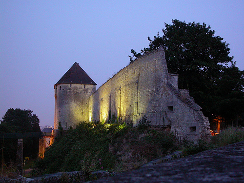
Pictures

Related Locations
Information of geographic nature is based on public data provided by geonames.org, CIA world facts book, Unesco, DBpedia and wikipedia. Weather is based on NOAA GFS.