-
You are here:
- Homepage »
- France »
- Haute-Normandie » Hauville

Hauville Destination Guide
Delve into Hauville in France
Hauville in the region of Haute-Normandie with its 1,172 residents is a city in France - some 81 mi or ( 130 km ) North-West of Paris , the country's capital .
Current time in Hauville is now 05:11 AM (Saturday) . The local timezone is named " Europe/Paris " with a UTC offset of 1 hours. Depending on your travel modalities, these larger destinations might be interesting for you: London, The Hague, Haarlem, Brussels, and Routot. While being here, make sure to check out London . We encountered some video on the web . Scroll down to see the most favourite one or select the video collection in the navigation. Are you curious about the possible sightseeing spots and facts in Hauville ? We have collected some references on our attractions page.
Videos
La mère L'Amour, star de Duclair
A Duclair, vous pouviez pas la louper la mère L'Amour. Portrait de star... ..
Mère et fils jouant du Green Day c'est ti po beautiful ça !
ben voui en fait mon petit joue de la guitare ; il est doué ça c'est sur, d'ailleurs c'est possible de le voir sur youtube : 76210lulu ; c'est mon fils !! ..
Video-Chambre-AVI
bed and breakfast in Normandy - France Chambre d'hôte en Haute Normandie FRANCE ..
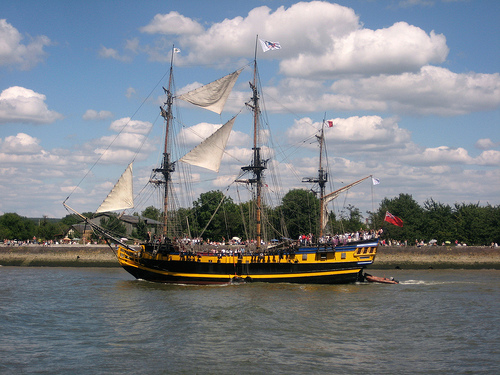
Paquebot sur la Seine
Le AZAMARA JOURNEY en descente de la Seine au niveau de yainville le 27 mai 2012. ..
Videos provided by Youtube are under the copyright of their owners.
Interesting facts about this location
Roumois
The Roumois is a region in the northwestern part of the Eure département in Normandy, France. It is a plateau situated southwest of Rouen. Its northern boundary is the Seine downstream of Elbeuf, its western boundary is the Risle valley. The plain of Le Neubourg lies to the south. The main towns of the Roumois are Bourg-Achard and Bourgtheroulde-Infreville. The landscape is similar to that of the Pays de Caux on the north side of the Seine.
Located at 49.36 0.76 (Lat./Long.); Less than 4 km away
Jumièges Abbey
Jumièges Abbey was a Benedictine monastery, situated in the commune of Jumièges in the Seine-Maritime département, in Normandy, France.
Located at 49.43 0.82 (Lat./Long.); Less than 5 km away
Forêt de Brotonne
The forêt de Brotonne (Brotonne forest), in France, is situated to the west of Rouen in a vast meander of the Seine, accessible by the pont de Brotonne. It is a part of the Parc naturel régional des Boucles de la Seine normande (Regional natural parc of Boucles de la Seine normande), which allows for the safeguarding of a large natural space stretching from the banlieue of Rouen to the commune of Marais-Vernier.
Located at 49.45 0.72 (Lat./Long.); Less than 7 km away
Austreberthe
The Austreberthe is a 18-km river in the Seine-Maritime. Its source is the village of Sainte-Austreberthe. It meets the Seine at Duclair. The Austreberthe is crossed by the Barentin Viaduct, a noteworthy 30 metre high brick railway bridge built in 1846, about 19-km from Rouen.
Located at 49.48 0.87 (Lat./Long.); Less than 12 km away
Château d'Ételan
The Château d'Ételan is a historical building in the commune of Saint-Maurice-d'Ételan in the Seine-Maritime département in Normandy, France. Situated on the right bank ot the Seine between the Brotonne and Tancarville bridges, the Château d’Ételan commands a site overlooking the final loop of the river Seine. Originally designed as a castle, it was later converted to a 15th century flamboyant gothic mansion.
Located at 49.47 0.63 (Lat./Long.); Less than 13 km away
Pictures
Historical Weather
Related Locations
Information of geographic nature is based on public data provided by geonames.org, CIA world facts book, Unesco, DBpedia and wikipedia. Weather is based on NOAA GFS.