-
You are here:
- Homepage »
- France »
- Poitou-Charentes » Chabanais

Chabanais Destination Guide
Delve into Chabanais in France
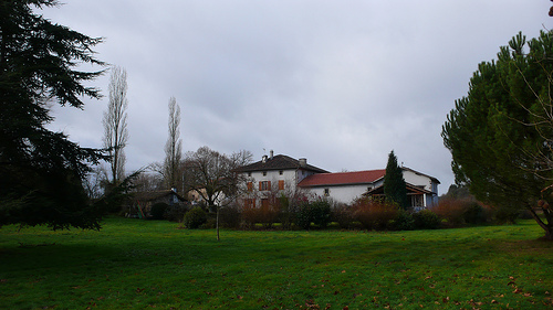
Chabanais in the region of Poitou-Charentes with its 1,889 residents is located in France - some 220 mi or ( 353 km ) South of Paris , the country's capital .
Local time in Chabanais is now 09:07 AM (Tuesday) . The local timezone is named " Europe/Paris " with a UTC offset of 1 hours. Depending on your mobility, these larger destinations might be interesting for you: Videix, Sansac, Rochechouart, Poitiers, and Périgueux. While being here, you might want to check out Videix . We discovered some clip posted online . Scroll down to see the most favourite one or select the video collection in the navigation. Are you curious about the possible sightseeing spots and facts in Chabanais ? We have collected some references on our attractions page.
Videos
stunt benoit
stunt moto ..
297 - France. N141 - Chabanais [HD]
Francja. N141 - Chabanais /// GPS - gdziejestem.pl Please rate, comment, and subscribe. Thanks. ..
stelsun1's micheal pitt lonely journey cover
stelsun1's webcam video 24 août 2011 15:14 (PDT) ..
Bike Charente Motorbike Tours in South West France
motorcycle touring in the Charente region of France. We offer B+B, Camping+B or just Camping. Leave your tent at home and stay in one of ours. Why not post your cloths and stuff and enjoy the ride dow ..
Videos provided by Youtube are under the copyright of their owners.
Interesting facts about this location
Canton of Chabanais
The canton of Chabanais is an administrative division in central France. It includes the following communes: Chabanais Chabrac Chassenon Chirac Étagnac Exideuil La Péruse Pressignac Saint-Quentin-sur-Charente Saulgond Suris
Located at 45.88 0.72 (Lat./Long.); Less than 0 km away
Rochechouart crater
Rochechouart is an impact crater in France. Its diameter is estimated to be about 21 km . Its most recent age estimate is 201 ±2 million years ago, placing it close to Triassic-Jurassic boundary. Since then the crater has been deeply eroded, and no trace of its original surface morphology is visible. The crater appears to be too small to account for the Triassic–Jurassic extinction event.
Located at 45.82 0.78 (Lat./Long.); Less than 7 km away
Château de Rochechouart
Château de Rochechouart is a thirteenth century French castle, located at the top of the confluence of the Grêne and Vayres rivers in the commune of Rochechouart within the département of Haute-Vienne.
Located at 45.82 0.82 (Lat./Long.); Less than 10 km away
Merlis Serpentinites
The Merlis Serpentinites are an aligned group of small serpentinite outcrops in the northwestern French Massif Central. Their parent rocks were peridotites from the upper mantle.
Located at 45.75 0.83 (Lat./Long.); Less than 16 km away
Clouère
The Clouère is a 76.2 km long river in the Charente and Vienne départements, western France. Its source is at Lessac. It flows generally northwest. It is a right tributary of the Clain into which it flows between Château-Larcher and Aslonnes.
Located at 46.08 0.63 (Lat./Long.); Less than 23 km away
Pictures


Historical Weather
Related Locations
Information of geographic nature is based on public data provided by geonames.org, CIA world facts book, Unesco, DBpedia and wikipedia. Weather is based on NOAA GFS.