-
You are here:
- Homepage »
- France »
- Poitou-Charentes » Hiers-Brouage

Hiers-Brouage Destination Guide
Delve into Hiers-Brouage in France
Hiers-Brouage in the region of Poitou-Charentes with its 593 residents is located in France - some 262 mi or ( 422 km ) South-West of Paris , the country's capital .
Local time in Hiers-Brouage is now 09:37 AM (Wednesday) . The local timezone is named " Europe/Paris " with a UTC offset of 1 hours. Depending on your mobility, these larger destinations might be interesting for you: Saint-Trojan-les-Bains, Saint-Nazaire-sur-Charente, Saint-Laurent-de-la-Pree, Saint-Agnant, and Ronce-les-Bains. While being here, you might want to check out Saint-Trojan-les-Bains . We discovered some clip posted online . Scroll down to see the most favourite one or select the video collection in the navigation. Are you curious about the possible sightseeing spots and facts in Hiers-Brouage ? We have collected some references on our attractions page.
Videos
Marennes, l'Île Madame, Fouras
Survol de la charente-Maritime en paramoteur. Les ports ostréicoles de la Seudre, Marennes, la ville fortifiée de Brouage, l'ïle Madame, l'embouchure de la charente, Fouras, le Fort d'Enet, l'Île d'Ai ..
LA TREMBLADE 2007 - CHARENTE MARITIME ( 17 ) - FRANCE
Montage de photos sur le chenal ostréicole et le port de La Tremblade ( 17 ). ..
Stéphane Geille - Batterie - Impro de Noel 1 - Version d'essai.avi
Voici quelques petits bout d'une improvisation faite fin décembre 2011... Rien de préparé! J'ai juste essayé de jouer ce qui me passait par la tête à ce moment là. La batterie est une Taye Gokit les c ..
Welcome to Agape!
vision video for CCC partnership between OU and Nantes, France ..
Videos provided by Youtube are under the copyright of their owners.
Interesting facts about this location
Seudre
The Seudre is a river in the Charente-Maritime département, southwestern France, flowing into the Atlantic Ocean. Its source is near Saint-Genis-de-Saintonge. It flows northwest through Saint-André-de-Lidon, Saujon and La Tremblade. It flows into the Atlantic Ocean near Marennes. The lower course of the Seudre is brackish, and is used for oyster farming.
Located at 45.80 -1.14 (Lat./Long.); Less than 7 km away
Rochefort-Martrou Transporter Bridge
Rochefort-Martrou Transporter Bridge is a transporter bridge built between 1898 and 1900 . It is located in Rochefort, Charente-Maritime, Poitou-Charente, France. Crossing the Charente River, it has a maximum height of 66.5 metres and a total length of 175.5 metres. It is a technical invention accomplished by a French engineer : Ferdinand Arnodin. It was abandoned in 1967 in favour of a vertical lift bridge, which has since been demolished.
Located at 45.92 -0.96 (Lat./Long.); Less than 12 km away
Charente (river)
The Charente is a 381 km long river in southwestern France. Its source is in the Haute-Vienne département at Chéronnac, a small village near Rochechouart. It flows through the departments of Haute-Vienne, Charente, Vienne and Charente-Maritime. The river flows into the Atlantic Ocean near Rochefort.
Located at 45.96 -1.08 (Lat./Long.); Less than 12 km away
Conservatoire du Bégonia
The Conservatoire du Bégonia (1,000 m²) is a botanical garden specializing in begonias. It is located at 1 rue Charles Plumier, Rochefort, Charente-Maritime, Poitou-Charentes, France, and open for guided tours several days per week in early spring and late fall; an admission fee is charged.
Located at 45.92 -0.96 (Lat./Long.); Less than 12 km away
Île Madame
Île Madame is an island in the River Charente estuary on the Atlantic coast of France joined to the mainland by a causeway. The island has an area of four square miles and is unpopulated. Hundreds of Catholic priests were held prisoner on the island during anti-clerical persecution in 1794. A total of 254 died before the survivors were allowed to leave. The priests who were held prisoner and those who died on the island are commemorated during a pilgrimage there each August.
Located at 45.96 -1.11 (Lat./Long.); Less than 12 km away
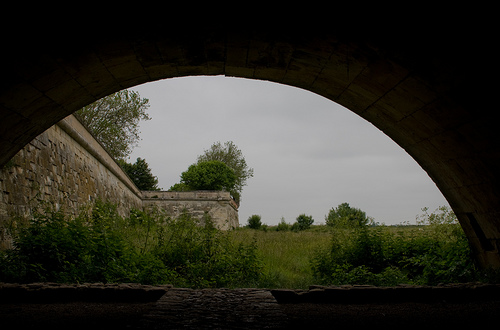
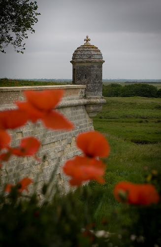
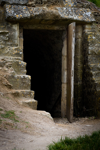
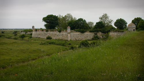
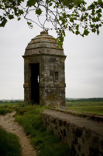
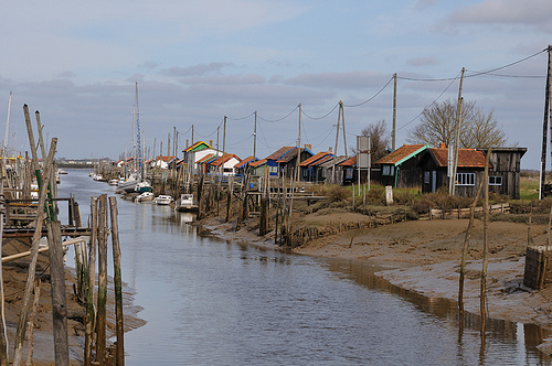
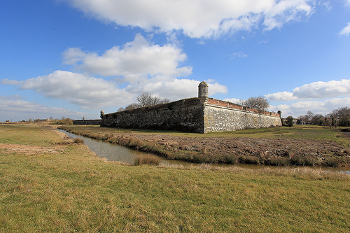
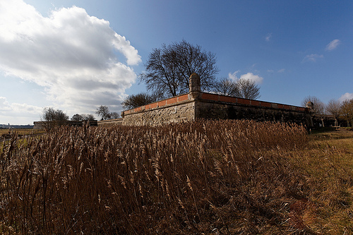
Pictures
Related Locations
Information of geographic nature is based on public data provided by geonames.org, CIA world facts book, Unesco, DBpedia and wikipedia. Weather is based on NOAA GFS.