-
You are here:
- Homepage »
- Germany »
- Baden-Wuerttemberg » Markgroningen

Markgroningen Destination Guide
Touring Markgroningen in Germany
Markgroningen in the region of Baden-Württemberg with its 14,414 citizens is a city located in Germany - some 314 mi or ( 505 km ) South-West of Berlin , the country's capital city .
Time in Markgroningen is now 10:00 AM (Wednesday) . The local timezone is named " Europe/Berlin " with a UTC offset of 1 hours. Depending on your travel resources, these more prominent places might be interesting for you: Wurzburg, Wiesbaden, Unterriexingen, Tamm, and Talhausen. Being here already, consider visiting Wurzburg . We collected some hobby film on the internet . Scroll down to see the most favourite one or select the video collection in the navigation. Check out our recommendations for Markgroningen ? We have collected some references on our attractions page.
Videos
Glocken der Bartholomäuskirche Markgröningen (I)
Am Tag des offenen Denkmals in Baden-Württemberg 2007 konnte der Glockenstuhl der um 1270 erbauten Bartholomäuskirche Markgröningen besichtigt werden. Mehrere Glocken zusammen erschallen zum Festtags ..
Fahrt mit der Geisterbahn Fahrt zur Hölle auf dem Bietigheimer Pferdemarkt 2010
Onride-Video einer Fahrt mit der Geisterbahn "Fahrt zur Hölle" auf dem Bietigheimer Pferdemarkt am 3. September 2010. ..
Mrs. Germany auf der Messe boot 2008
Get more information about my work as a presenter, model, tv-moderator and actress on my website www.mrs-germany.com. I am looking forward to your feedback on my blog. Regards, Elischeba ..
06.03.2010 TRANCE.MISSION - the first anniversary
TRANCE.MISSION THE FIRST ANNIVERSARY 06-03-2010 Trance-Lovers watch out: On the 6th of March 2010 the next TRANCE.MISSION "the first anniversary" will take place in an new location the Four Runners Cl ..
Videos provided by Youtube are under the copyright of their owners.
Interesting facts about this location
Hohenasperg
Hohenasperg, located in the federal state of Baden-Württemberg near Stuttgart, Germany, of which it is administratively part, is an ancient fortress and prison overlooking the town of Asperg. It was an active fortification between 1535 and 1593.
Located at 48.91 9.14 (Lat./Long.); Less than 4 km away
Glems
The river Glems is a right tributary of the river Enz in Baden-Württemberg, Germany and around 45 km long. The spring is located in the south-west of Stuttgart. On the way to the confluence into the Enz next to Unterriexingen (a quarter of Markgröningen) it passes the districts of Böblingen and Ludwigsburg.
Located at 48.94 9.05 (Lat./Long.); Less than 4 km away
Golfanlage Schloss Nippenburg
Golfanlage Schloss Nippenburg is a golf course in Schwieberdingen, located on the northwestern edge of Stuttgart, Germany. The 18-hole course has its name from castle Nippenburg, located next the golf course. The par 71 course was designed by Bernhard Langer and was established in 1995. From 1995 to 1997 the Golfanlage Schloss Nippenburg hosted the German Open. The tournament was won by Colin Montgomerie in 1995, Ian Woosnam in 1996 and Ignacio Garrido in 1997.
Located at 48.86 9.07 (Lat./Long.); Less than 5 km away
Nippenburg
Nippenburg is a ruined castle located in Schwieberdingen, Germany. The oldest records of Nippenburg date to 1160, which makes it one of the oldest castles in the region of Stuttgart. In the seventeenth century the castle was positioned favorably lying on a mountain spur over-half the Glemstals and built in direct proximity to the manor-house lock Nippenburg. In the following centuries the castle was heavily quarried and abandoned.
Located at 48.86 9.06 (Lat./Long.); Less than 5 km away
Hochdorf Chieftain's Grave
The Hochdorf Chieftain's Grave is a richly-furnished Celtic burial chamber dating from 530 BC, Halstatt D. An amateur archaeologist discovered it in 1977 near Hochdorf an der Enz in Baden-Württemberg, Germany. By then, the originally 20 ft (6 m) high burial mound covering the grave, which is about 200 ft (60 m) in diameter, had shrunk to about 3 ft (1 m) height and was hardly discernible due to centuries of erosion and agricultural use.
Located at 48.89 9.00 (Lat./Long.); Less than 6 km away
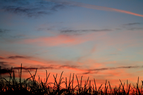
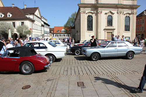
Pictures
Historical Weather
Related Locations
Information of geographic nature is based on public data provided by geonames.org, CIA world facts book, Unesco, DBpedia and wikipedia. Weather is based on NOAA GFS.