-
You are here:
- Homepage »
- Germany »
- Baden-Wuerttemberg » Ottenhofen

Ottenhofen Destination Guide
Explore Ottenhofen in Germany
Ottenhofen in the region of Baden-Württemberg with its 3,311 inhabitants is a town in Germany - some 349 mi or ( 562 km ) South-West of Berlin , the country's capital city .
Current time in Ottenhofen is now 06:57 PM (Tuesday) . The local timezone is named " Europe/Berlin " with a UTC offset of 1 hours. Depending on the availability of means of transportation, these more prominent locations might be interesting for you: Basel, Haarlem, Amsterdam, Brussels, and Weitenung. Since you are here already, make sure to check out Basel . We saw some video on the web . Scroll down to see the most favourite one or select the video collection in the navigation. Where to go and what to see in Ottenhofen ? We have collected some references on our attractions page.
Videos
Remz Team '08two' EuroTour | Part 2 of 3
PART 2: Chris Haffey, Franky Morales, Nick Wood, and Kato touring around Europe from Scotland and England to the South of France via Belgium and Germany... ----- Part 2: day4 - Apr29 - London England ..
Stadt Bühl Image-Film
Bühl ein klangvoller Name, eine Stadt mit langer Geschichte, einem lebendigen Heute. Was ist an der Stadt Bühl so besonders? Erleben Sie das Bühl-Gefühl! ..
Schwarzwald Biker tour 2008
Dry Riders Black Forest Biker Tour 2008 ..
Street Music Cologne Germany Cathedral Bells on Sunday Mor
Recorded on June 12, 2011 using a Flip Video camcorder. ..
Videos provided by Youtube are under the copyright of their owners.
Interesting facts about this location
Altschweier
Altschweier is a German village to the East of the town of Bühl (Baden). It is located in the Büllot valley on both sides of the Büllot creek extending into the foothills of the Black Forest mountain range.
Located at 48.70 8.17 (Lat./Long.); Less than 4 km away
Yberg
Yberg is a mountain of Baden-Württemberg, Germany.
Located at 48.73 8.20 (Lat./Long.); Less than 5 km away
Fremersberg
Fremersberg is a mountain of Baden-Württemberg, Germany.
Located at 48.75 8.20 (Lat./Long.); Less than 5 km away
Fremersberg Tower
Fremersberg Tower is an 83 metre tall telecommunication tower built of reinforced concrete with an observation deck 30 metres above ground. There is a small restaurant located next to the tower. Fremersberg Tower, which was built in 1961 is situated on 525 metre high Fremersberg near Baden-Baden at 8°12'8" E and 48°45'10" N.
Located at 48.75 8.20 (Lat./Long.); Less than 5 km away
Baden Airpark
Baden Airpark, or officially Flughafen Karlsruhe/Baden-Baden, is an international airport located in Rheinmünster in the state of Baden-Württemberg in Germany, 40 km south of Karlsruhe, 12 km west of Baden-Baden and 25 km north of Strasbourg, France. In 2010, it was the second-largest airport in Baden-Württemberg, and the 18th-largest in Germany with 1,192,894 passengers per year.
Located at 48.78 8.08 (Lat./Long.); Less than 6 km away
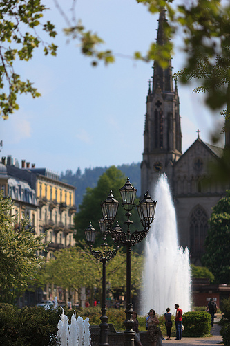
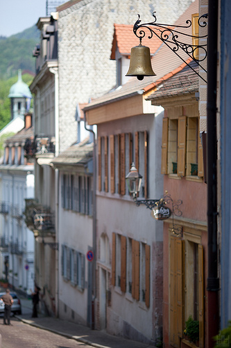
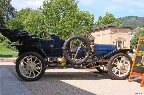
Pictures


Historical Weather
Related Locations
Information of geographic nature is based on public data provided by geonames.org, CIA world facts book, Unesco, DBpedia and wikipedia. Weather is based on NOAA GFS.