-
You are here:
- Homepage »
- Indonesia »
- North Sumatra » Tomok Bolon

Tomok Bolon Destination Guide
Delve into Tomok Bolon in Indonesia
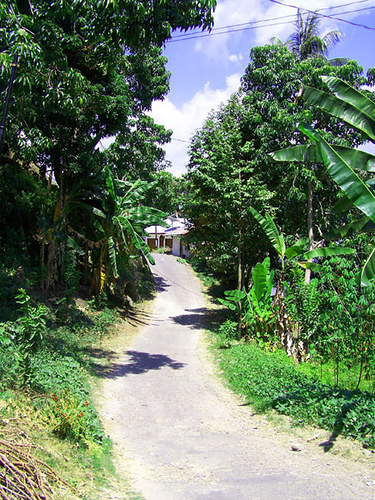
Tomok Bolon in the region of North Sumatra is located in Indonesia - some 824 mi or ( 1326 km ) North-West of Jakarta , the country's capital .
Local time in Tomok Bolon is now 11:36 AM (Wednesday) . The local timezone is named " Asia/Jakarta " with a UTC offset of 7 hours. Depending on your mobility, these larger destinations might be interesting for you: Sidaji, Saribudolok, Panjaitan, Panguruan, and Medan. While being here, you might want to check out Sidaji . We discovered some clip posted online . Scroll down to see the most favourite one or select the video collection in the navigation. Are you curious about the possible sightseeing spots and facts in Tomok Bolon ? We have collected some references on our attractions page.
Videos
Mossak & Tortor Sigale Gale
Batak martial art and culture Tor Tor / Sumatra. Batakische Kampfkunst und Si Gale Gale Tanz aus Sumatra. ..
Lake Toba - A Super Volcano
..
Sumatra, Samosir Island
My last station at my Indonesia tour war Sumatra (for the first time); very impressive; one trip lead me to Samosir island on lake Toba. ..
Danau Toba from Tuk Tuk
View of the lake from a resteraunt in Tuk Tuk ..
Videos provided by Youtube are under the copyright of their owners.
Interesting facts about this location
Lake Toba
Lake Toba is a lake and supervolcano. The lake is 100 kilometres long, 30 kilometres wide, and up to 505 metres (1,666 ft) deep. Located in the middle of the northern part of the Indonesian island of Sumatra with a surface elevation of about 900 metres, the lake stretches from {{#invoke:Coordinates|coord}}{{#coordinates:2.88|N|98.52|E||||| | |name= }} to {{#invoke:Coordinates|coord}}{{#coordinates:2.35|N|99.1|E||||| | |name= }}.
Located at 2.68 98.88 (Lat./Long.); Less than 4 km away
Toba catastrophe theory
The Toba supereruption (Youngest Toba Tuff or simply YTT) was a supervolcanic eruption that occurred sometime between 69,000 and 77,000 years ago at Lake Toba. It is recognized as one of the Earth's largest known eruptions. The related catastrophe hypothesis holds that this event caused a global volcanic winter of 6–10 years and possibly a 1,000-year-long cooling episode. The Toba event is the most closely studied supereruption.
Located at 2.68 98.88 (Lat./Long.); Less than 4 km away
Sibisa Airport
Sibisa Airport is an airport located in Ajibata, Toba Samosir, North Sumatra, Indonesia. The airport is located 10 kilometers from Parapat city, Lake Toba.
Located at 2.67 98.93 (Lat./Long.); Less than 8 km away
Parapat
Parapat is a small town in North Sumatra province on the edge of Lake Toba, on the Uluan Peninsula where it forms the narrowest eastern link to Samosir Island. It is the primary transit point by ferry for visitors going to Samosir Island, and connected via Trans-Sumatran Highway to Pematang Siantar by a 48 km road. Dody Administratively it is part of Simalungun Regency.
Located at 2.66 98.94 (Lat./Long.); Less than 9 km away
Samosir
For the Regency named Samosir, see Samosir Regency. Samosir, or Samosir Island, is a large volcanic island in Lake Toba, located in the north of the island of Sumatra in Indonesia. Administratively, Samosir Island is governed as six of the nine districts within Samosir Regency. The lake and island were formed after the eruption of a supervolcano some 75,000 years ago. The island was originally connected to the surrounding caldera wall by a small isthmus, which was cut through to aid navigation.
Located at 2.58 98.82 (Lat./Long.); Less than 9 km away
Pictures
Historical Weather
Related Locations
Information of geographic nature is based on public data provided by geonames.org, CIA world facts book, Unesco, DBpedia and wikipedia. Weather is based on NOAA GFS.