-
You are here:
- Homepage »
- Italy »
- Emilia-Romagna » Grizzana Morandi

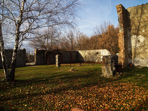
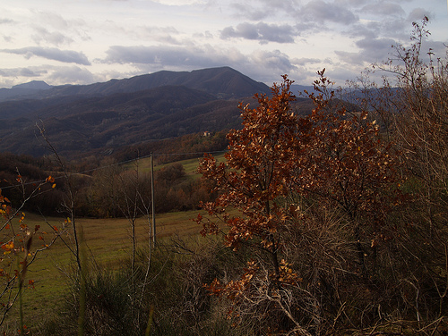
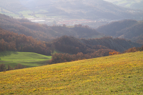
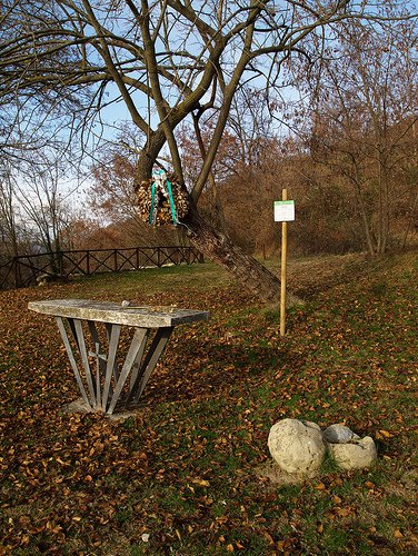
Grizzana Morandi Destination Guide
Explore Grizzana Morandi in Italy
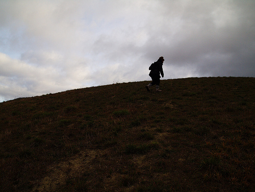
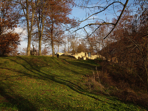
Grizzana Morandi in the region of Emilia-Romagna with its 3,694 inhabitants is a place in Italy - some 177 mi or ( 284 km ) North-West of Rome , the country's capital city .
Time in Grizzana Morandi is now 03:57 PM (Friday) . The local timezone is named " Europe/Rome " with a UTC offset of 1 hours. Depending on your budget, these more prominent locations might be interesting for you: Munich, Verona, Venice, Savigno, and Sasso Marconi. Since you are here already, consider visiting Munich . We saw some hobby film on the internet . Scroll down to see the most favourite one or select the video collection in the navigation. Where to go and what to see in Grizzana Morandi ? We have collected some references on our attractions page.
Videos
Florence, Italy to Zurich, Switzerland - A ride on Trenitalia (2007)
This is two segments of my ride on Trenitalia from Florence, Italy to Zurich, Switzerland. This was taken in the northern part of Italy. ..
The Boreing Leaning Tower Of Piza.
Just the Leaning Tower Of Piza. ..
Vergato; Zingarata 2012 - Viaggio in auto, moto musicisti e merende
In esclusiva sul blog...click qui: vergatonews24.it news and videos. Immagini dalla 16° "Zingarata" percorso in auto e moto con soste per merende e pranzi in ristorante, accompagnati da orchestrine. ..
Pepsi Exp. n.1
Branco si diverte a sparare razzi ..
Videos provided by Youtube are under the copyright of their owners.
Interesting facts about this location
Italicus Express bombing 1974
The Italicus Express massacre (Italian: Strage del treno Italicus) was a terrorist bombing in Italy on a train of the Ferrovie dello Stato (Railways of the State). During the early hours of 4 August 1974, the bomb attack killed 12 people and wounded 48. Responsibility was claimed by the neo-fascist terrorist organization Ordine Nero.
Located at 44.21 11.19 (Lat./Long.); Less than 6 km away
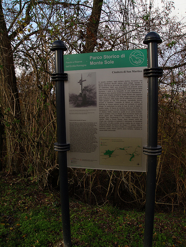
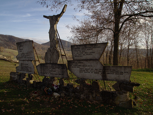
Marzabotto massacre
The Marzabotto massacre was a World War II mass murder of at least 770 civilians by Nazis, which took place in the territory around the small village of Marzabotto, in the mountainous area south of Bologna. It was the worst massacre of civilians committed by the Waffen SS in Western Europe during the war.
Located at 44.31 11.22 (Lat./Long.); Less than 8 km away
Limentra
Limentra is the name of two streams of the Bolognese and Pistoiese Apennines, both among the major tributaries of the Reno River. Due to their relatively large discharge, they are both exploited for the production of hydro-electric power. The Limentra di Sambuca (also Superior or Western Limentra) rises from Monte la Croce (c. 1,319 m) and passes through Sambuca Pistoiese.
Located at 44.23 11.05 (Lat./Long.); Less than 9 km away
Apennine Base Tunnel
The Apennine Base Tunnel is a railway tunnel 18.507 km, (11.5 miles), long on the Direttissima line connecting Florence and Bologna, in central Italy. The tunnel was opened on 21 April 1934 shortening the rail connection by 35 km compared to the old railway line over the mountain range. In the middle of the tunnel there is a switch-over and a 450m long non-public station accessible by an adit.
Located at 44.14 11.17 (Lat./Long.); Less than 14 km away
Futa Pass
The Futa Pass or La Futa Pass (Italian: Passo della Futa) is a pass in the Tuscan-Emilian Apennines, at an elevation of 903 m . It is located in the comune of Firenzuola, in the province of Florence. It separated the valleys of Mugello and of the Santerno River. It is crossed by the Regional Road 65 (strada della Futa) which connects Florence to Bologna. During World War II it was part of the Gothic Line. A German military cemetery was created nearby in the 1950s.
Located at 44.09 11.28 (Lat./Long.); Less than 21 km away
Pictures
Historical Weather
Related Locations
Information of geographic nature is based on public data provided by geonames.org, CIA world facts book, Unesco, DBpedia and wikipedia. Weather is based on NOAA GFS.